6349 Hunter Pointe St Unit Bldg-Unit Westland, MI 48185
Estimated Value: $197,000 - $225,000
--
Bed
2
Baths
1,251
Sq Ft
$169/Sq Ft
Est. Value
About This Home
This home is located at 6349 Hunter Pointe St Unit Bldg-Unit, Westland, MI 48185 and is currently estimated at $210,944, approximately $168 per square foot. 6349 Hunter Pointe St Unit Bldg-Unit is a home located in Wayne County with nearby schools including Wildwood Elementary School, Marshall Upper Elementary School, and Adlai Stevenson Middle School.
Ownership History
Date
Name
Owned For
Owner Type
Purchase Details
Closed on
Nov 1, 2022
Sold by
Buckley Ross G
Bought by
Obrien Christina
Current Estimated Value
Purchase Details
Closed on
Mar 15, 2018
Sold by
Tudor Carol and Tudor Matthew
Bought by
Buckley Rose G
Home Financials for this Owner
Home Financials are based on the most recent Mortgage that was taken out on this home.
Original Mortgage
$102,400
Interest Rate
4.38%
Mortgage Type
New Conventional
Purchase Details
Closed on
Sep 22, 2006
Sold by
Tudor Carol
Bought by
Tudor Carol and Tudor Matthew
Purchase Details
Closed on
Aug 28, 2006
Sold by
Robinson Hubert L
Bought by
Tudor Carol
Create a Home Valuation Report for This Property
The Home Valuation Report is an in-depth analysis detailing your home's value as well as a comparison with similar homes in the area
Home Values in the Area
Average Home Value in this Area
Purchase History
| Date | Buyer | Sale Price | Title Company |
|---|---|---|---|
| Obrien Christina | $190,000 | -- | |
| Buckley Rose G | $128,000 | None Available | |
| Tudor Carol | -- | None Available | |
| Tudor Carol | $129,000 | Multiple |
Source: Public Records
Mortgage History
| Date | Status | Borrower | Loan Amount |
|---|---|---|---|
| Previous Owner | Buckley Rose G | $102,400 |
Source: Public Records
Tax History Compared to Growth
Tax History
| Year | Tax Paid | Tax Assessment Tax Assessment Total Assessment is a certain percentage of the fair market value that is determined by local assessors to be the total taxable value of land and additions on the property. | Land | Improvement |
|---|---|---|---|---|
| 2025 | $3,392 | $93,200 | $0 | $0 |
| 2024 | $3,392 | $89,700 | $0 | $0 |
| 2023 | $3,239 | $78,200 | $0 | $0 |
| 2022 | $3,304 | $70,700 | $0 | $0 |
| 2021 | $3,221 | $64,900 | $0 | $0 |
| 2020 | $3,212 | $64,500 | $0 | $0 |
| 2019 | $3,133 | $63,400 | $0 | $0 |
| 2018 | $1,294 | $56,800 | $0 | $0 |
| 2017 | $529 | $49,600 | $0 | $0 |
| 2016 | $1,614 | $49,600 | $0 | $0 |
| 2015 | $3,203 | $46,960 | $0 | $0 |
| 2013 | $3,103 | $32,480 | $0 | $0 |
| 2012 | $1,499 | $32,660 | $0 | $0 |
Source: Public Records
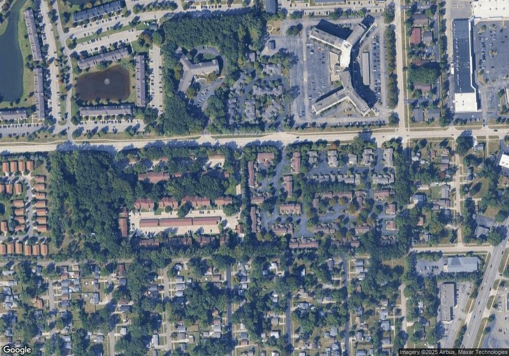
Map
Nearby Homes
- 35737 Hunter Ave
- 6546 Quail Run Cir
- 35754 Castlewood Ct
- 35863 Hunter Ave Unit 34
- 0 N Wayne Rd
- 7051 Wayne Rd
- 5942 N Walton St
- 35833 Ford Rd
- 6145 N Dowling St
- 6541 Pembrook Dr
- 0 Dowling Ave
- 34802 Pardo St
- 7330 Woodview St Unit 2
- 37186 Amhurst Dr Unit 5
- 34203 Tomahawk Dr
- 6026 Wilmer St
- 34752 John Hauk St
- 34036 Pawnee St
- 37175 Russell Dr
- 32238 Meridian Dr
- 6349 Hunter Pointe St Unit 15
- 6355 Hunter Pointe St
- 6343 Hunter Pointe St
- 6325 Hunter Pointe St Unit 22
- 6319 Hunter Pointe St Unit 21
- 6379 Hunter Pointe St Unit 1
- 6379 Hunter Pointe St
- 6379 Hunter Pointe St Unit 1
- 6379 Hunter Pointe St Unit 12
- 35719 Hunter Ave Unit 10
- 35707 Hunter Ave
- 35701 Hunter Ave Unit 7
- 35713 Hunter Ave Unit 9
- 35695 Hunter Ave Unit 6
- 35725 Hunter Ave
- 35689 Hunter Ave Unit 5
- 35731 Hunter Ave Unit 12
- 35683 Hunter Ave Unit 4
- 6361 Hunter Pointe St Unit 17
- 35737 Hunter Ave Unit 13