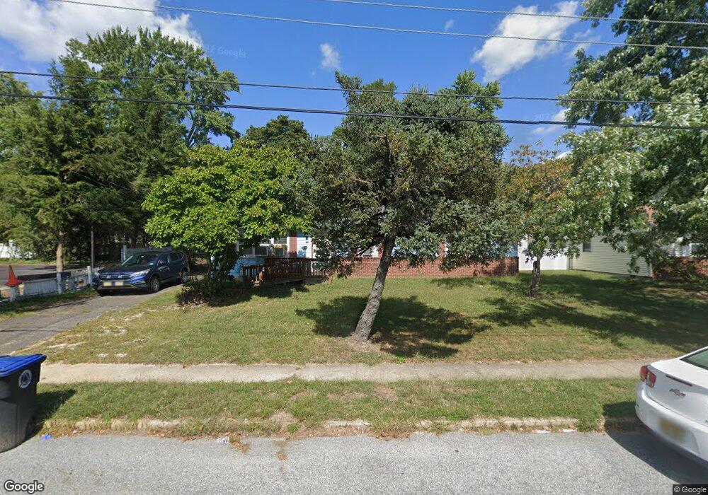
635 10th Ave Lindenwold, NJ 08021
Estimated Value: $184,000 - $294,000
Studio
--
Bath
1,122
Sq Ft
$224/Sq Ft
Est. Value
About This Home
This home is located at 635 10th Ave, Lindenwold, NJ 08021 and is currently estimated at $251,239, approximately $223 per square foot. 635 10th Ave is a home located in Camden County with nearby schools including Lindenwold High School, Saint John Paul II Regional School, and Trinity Preparatory School Inc..
Ownership History
Date
Name
Owned For
Owner Type
Purchase Details
Closed on
Sep 7, 2006
Sold by
Hagan Michael J
Bought by
Mayor Irish M and Mayor Kimberly M
Current Estimated Value
Home Financials for this Owner
Home Financials are based on the most recent Mortgage that was taken out on this home.
Original Mortgage
$151,925
Interest Rate
6.24%
Purchase Details
Closed on
Mar 27, 1996
Sold by
Est Robert Nelson
Bought by
Hagan Michael and Hagan Betty
Home Financials for this Owner
Home Financials are based on the most recent Mortgage that was taken out on this home.
Original Mortgage
$71,000
Interest Rate
6.9%
Create a Home Valuation Report for This Property
The Home Valuation Report is an in-depth analysis detailing your home's value as well as a comparison with similar homes in the area
Home Values in the Area
Average Home Value in this Area
Purchase History
| Date | Buyer | Sale Price | Title Company |
|---|---|---|---|
| Mayor Irish M | $151,925 | -- | |
| Hagan Michael | $74,900 | -- |
Source: Public Records
Mortgage History
| Date | Status | Borrower | Loan Amount |
|---|---|---|---|
| Previous Owner | Mayor Irish M | $151,925 | |
| Previous Owner | Hagan Michael | $71,000 |
Source: Public Records
Tax History
| Year | Tax Paid | Tax Assessment Tax Assessment Total Assessment is a certain percentage of the fair market value that is determined by local assessors to be the total taxable value of land and additions on the property. | Land | Improvement |
|---|---|---|---|---|
| 2025 | $4,996 | $100,500 | $35,600 | $64,900 |
| 2024 | $4,997 | $100,500 | $35,600 | $64,900 |
| 2023 | $4,997 | $100,500 | $35,600 | $64,900 |
| 2022 | $4,992 | $100,500 | $35,600 | $64,900 |
| 2021 | $5,130 | $100,500 | $35,600 | $64,900 |
| 2020 | $5,099 | $100,500 | $35,600 | $64,900 |
| 2019 | $5,145 | $100,500 | $35,600 | $64,900 |
| 2018 | $5,132 | $100,500 | $35,600 | $64,900 |
| 2017 | $4,978 | $100,500 | $35,600 | $64,900 |
| 2016 | $4,866 | $100,500 | $35,600 | $64,900 |
| 2015 | $4,661 | $100,500 | $35,600 | $64,900 |
| 2014 | $4,458 | $100,500 | $35,600 | $64,900 |
Source: Public Records
Map
Nearby Homes
- 609 8th Ave
- 1802 Greenwood Dr
- 1910 Greenwood Dr
- 2005 Greenwood Dr
- 2004 Greenwood Dr
- 649 6th Ave
- 2209 Greenwood Dr
- 2707 Greenwood Dr
- 459 6th Ave
- 104 Timber Creek Rd
- 1501 Timber Creek
- 189 Crossing Way
- 409 10th Ave
- 804 Timber Creek
- 700 Central Ave
- 610 Timber Creek Rd
- 729 Bentley Rd
- 5 Glenn Alpine
- 1305 Timber Creek Rd
- 37 Chiswick Dr
Your Personal Tour Guide
Ask me questions while you tour the home.