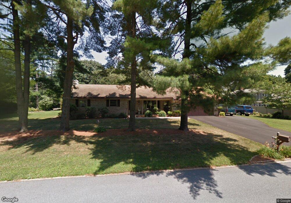
635 Apple Rd Lancaster, PA 17601
Manheim Township NeighborhoodEstimated Value: $395,000 - $536,000
3
Beds
3
Baths
1,807
Sq Ft
$257/Sq Ft
Est. Value
About This Home
This home is located at 635 Apple Rd, Lancaster, PA 17601 and is currently estimated at $464,787, approximately $257 per square foot. 635 Apple Rd is a home located in Lancaster County with nearby schools including Neff School, Landis Run Intermediate School, and Manheim Township Middle School.
Ownership History
Date
Name
Owned For
Owner Type
Purchase Details
Closed on
Jan 8, 2024
Sold by
Gerz Francis A
Bought by
Salvatori Kimberly May
Current Estimated Value
Purchase Details
Closed on
Nov 20, 2023
Sold by
Gerz Alexander William and Gerz Francis A
Bought by
Gerz Francis A
Purchase Details
Closed on
May 11, 2021
Sold by
Gerz Alex W and Estate Of Judy L Gerz
Bought by
Gerz Alexander William and Gerz Alex W
Create a Home Valuation Report for This Property
The Home Valuation Report is an in-depth analysis detailing your home's value as well as a comparison with similar homes in the area
Home Values in the Area
Average Home Value in this Area
Purchase History
| Date | Buyer | Sale Price | Title Company |
|---|---|---|---|
| Salvatori Kimberly May | -- | None Listed On Document | |
| Gerz Francis A | -- | None Listed On Document | |
| Gerz Alexander William | -- | None Available |
Source: Public Records
Tax History Compared to Growth
Tax History
| Year | Tax Paid | Tax Assessment Tax Assessment Total Assessment is a certain percentage of the fair market value that is determined by local assessors to be the total taxable value of land and additions on the property. | Land | Improvement |
|---|---|---|---|---|
| 2025 | $5,065 | $234,100 | $86,600 | $147,500 |
| 2024 | $5,065 | $234,100 | $86,600 | $147,500 |
| 2023 | $4,933 | $234,100 | $86,600 | $147,500 |
| 2022 | $4,850 | $234,100 | $86,600 | $147,500 |
| 2021 | $4,742 | $234,100 | $86,600 | $147,500 |
| 2020 | $4,742 | $234,100 | $86,600 | $147,500 |
| 2019 | $4,696 | $234,100 | $86,600 | $147,500 |
| 2018 | $3,430 | $234,100 | $86,600 | $147,500 |
| 2017 | $4,374 | $171,900 | $55,900 | $116,000 |
| 2016 | $4,374 | $171,900 | $55,900 | $116,000 |
| 2015 | $1,099 | $171,900 | $55,900 | $116,000 |
| 2014 | $3,096 | $171,900 | $55,900 | $116,000 |
Source: Public Records
Map
Nearby Homes
- 333 Valleybrook Dr
- 571 Laurel Ln
- 397 Valleybrook Dr
- 202 Valleybrook Dr Unit 202
- 441 Valleybrook Dr
- 2795 Southwick Dr
- 2787 Southwick Dr
- 71 Valleybrook Dr Unit 71
- 674 Jake Landis Rd
- 20 Valleybrook Dr Unit 20
- 548 E Delp Rd
- 539 Sierra Ln
- 2475 Oregon Pike
- 701 Brentwood Dr
- 338 E Oregon Rd
- 514 Dolly Dr
- 1012 Whitfield Dr
- 614 Dolly Dr
- 2419 Lititz Pike
- 2635 Beechwood Rd
- 615 Apple Rd
- 2730 Long Farm Ln
- 2835 Fiddlers Green Rd
- 2726 Long Farm Ln
- 630 Apple Rd
- 640 Apple Rd
- 650 Apple Rd
- 620 Apple Rd
- 2720 Long Farm Ln
- 2740 Long Farm Ln
- 610 Apple Rd
- 2828 Fiddlers Green Rd
- 2834 Fiddlers Green Rd
- 641 Valley Rd
- 651 Valley Rd
- 2731 Long Farm Ln
- 2727 Long Farm Ln
- 2716 Long Farm Ln
- 2824 Fiddlers Green Rd
- 631 Valley Rd