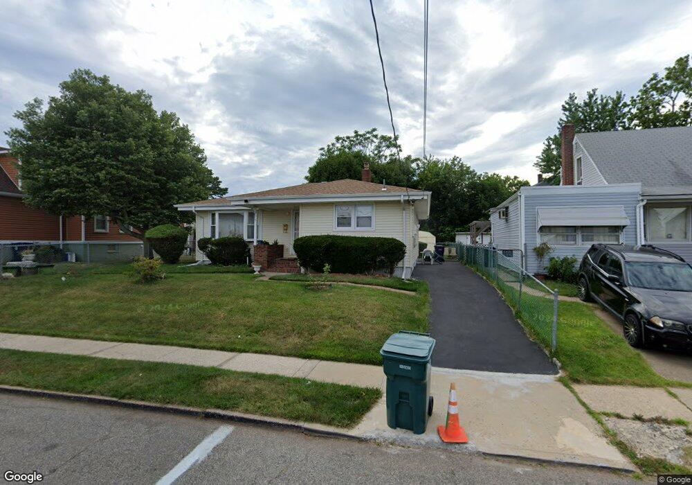
635 Colgate Ave Perth Amboy, NJ 08861
Chickentown NeighborhoodEstimated Value: $362,000 - $444,000
--
Bed
--
Bath
1,105
Sq Ft
$373/Sq Ft
Est. Value
About This Home
This home is located at 635 Colgate Ave, Perth Amboy, NJ 08861 and is currently estimated at $412,171, approximately $373 per square foot. 635 Colgate Ave is a home located in Middlesex County with nearby schools including Perth Amboy High School, Middlesex County STEM Charter School, and Academy for Urban Leadership Charter School.
Ownership History
Date
Name
Owned For
Owner Type
Purchase Details
Closed on
Jun 1, 2023
Sold by
Anderson Derrick and Anderson Isa
Bought by
Anderson Derrick
Current Estimated Value
Purchase Details
Closed on
Jan 19, 1995
Sold by
Kozu Dorothy
Bought by
Anderson Derrick and Anderson Isa
Home Financials for this Owner
Home Financials are based on the most recent Mortgage that was taken out on this home.
Original Mortgage
$112,000
Interest Rate
9.16%
Create a Home Valuation Report for This Property
The Home Valuation Report is an in-depth analysis detailing your home's value as well as a comparison with similar homes in the area
Home Values in the Area
Average Home Value in this Area
Purchase History
| Date | Buyer | Sale Price | Title Company |
|---|---|---|---|
| Anderson Derrick | -- | None Listed On Document | |
| Anderson Derrick | $118,000 | -- |
Source: Public Records
Mortgage History
| Date | Status | Borrower | Loan Amount |
|---|---|---|---|
| Previous Owner | Anderson Derrick | $112,000 |
Source: Public Records
Tax History Compared to Growth
Tax History
| Year | Tax Paid | Tax Assessment Tax Assessment Total Assessment is a certain percentage of the fair market value that is determined by local assessors to be the total taxable value of land and additions on the property. | Land | Improvement |
|---|---|---|---|---|
| 2025 | $7,739 | $256,500 | $123,000 | $133,500 |
| 2024 | $7,723 | $256,500 | $123,000 | $133,500 |
| 2023 | $7,723 | $256,500 | $123,000 | $133,500 |
| 2022 | $7,631 | $256,500 | $123,000 | $133,500 |
| 2021 | $7,177 | $256,500 | $123,000 | $133,500 |
| 2020 | $7,639 | $256,500 | $123,000 | $133,500 |
| 2019 | $7,667 | $256,500 | $123,000 | $133,500 |
| 2018 | $7,600 | $256,500 | $123,000 | $133,500 |
| 2017 | $7,585 | $256,500 | $123,000 | $133,500 |
| 2016 | $7,387 | $256,500 | $123,000 | $133,500 |
| 2015 | $7,439 | $256,500 | $123,000 | $133,500 |
| 2014 | $7,485 | $256,500 | $123,000 | $133,500 |
Source: Public Records
Map
Nearby Homes
- 685 Raritan Ave
- 693 Hanson Ave
- 6 Worden Ave
- 35 Dayna Ct
- 49 Loretta St
- 745 Lee St
- 773 Colgate Ave
- 670 Columbus Cir
- 490 Mckeon St
- 552 Compton Ave
- 720 Donald Ave
- 744 Donald Ave
- 689 Mary St
- 537 Harding Ave
- 599 Pacific Ave
- 133 Howard St
- 473 Hall Ave
- 71 Pennsylvania Ave
- 448 Baker Place
- 164 Pennsylvania Ave
- 639 Colgate Ave
- 631 Colgate Ave
- 632 Carlock Ave
- 623 Colgate Ave
- 623 Colgate Ave Unit 1
- 634 Carlock Ave
- 628 Carlock Ave
- 643 Colgate Ave
- 640 Carlock Ave
- 632 Colgate Ave
- 624 Carlock Ave
- 647 Colgate Ave
- 628 Colgate Ave
- 646 Carlock Ave
- 649B Colgate Ave
- 651 Colgate Ave
- 644 Carlock Ave
- 624 Colgate Ave Unit 1B
- 622 Colgate Ave Unit 1B
- 619 Colgate Ave