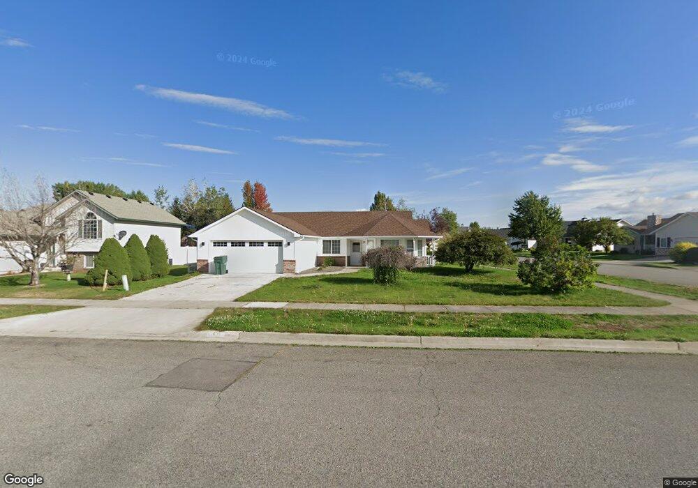
635 E Bunker Ave Post Falls, ID 83854
North Prairie NeighborhoodEstimated Value: $458,000 - $495,000
About This Home
This home is located at 635 E Bunker Ave, Post Falls, ID 83854 and is currently estimated at $475,041, approximately $327 per square foot. 635 E Bunker Ave is a home located in Kootenai County with nearby schools including Mullan Trail Elementary School, Post Falls Middle School, and Post Falls High School.
Ownership History
We collect this data history from publicly available records. To have your information removed, we recommend requesting removal directly through your county’s website.
Purchase Details
Purchase Details
Home Financials for this Owner
Home Financials are based on the most recent Mortgage that was taken out on this home.Purchase Details
Home Financials for this Owner
Home Financials are based on the most recent Mortgage that was taken out on this home.Purchase Details
Purchase Details
Home Financials for this Owner
Home Financials are based on the most recent Mortgage that was taken out on this home.Home Values in the Area
Average Home Value in this Area
Purchase History
We collect this data history from publicly available records. To have your information removed, we recommend requesting removal directly through your county’s website.
| Date | Buyer | Sale Price | Title Company |
|---|---|---|---|
| -- | None Listed On Document | ||
| -- | Kootenai County Title Co | ||
| -- | Alliance Ttl Coeur D Alene O | ||
| -- | Kootenai County Title Compan | ||
| -- | -- |
Mortgage History
We collect this data history from publicly available records. To have your information removed, we recommend requesting removal directly through your county’s website.
| Date | Status | Borrower | Loan Amount |
|---|---|---|---|
| Previous Owner | $275,500 | ||
| Previous Owner | $139,000 |
Tax History
We collect this data history from publicly available records. To have your information removed, we recommend requesting removal directly through your county’s website.
| Year | Tax Paid | Tax Assessment Tax Assessment Total Assessment is a certain percentage of the fair market value that is determined by local assessors to be the total taxable value of land and additions on the property. | Land | Improvement |
|---|---|---|---|---|
| 2025 | $1,833 | $464,480 | $175,000 | $289,480 |
| 2024 | $1,758 | $439,090 | $152,000 | $287,090 |
| 2023 | $1,758 | $470,057 | $160,000 | $310,057 |
| 2022 | $2,336 | $502,008 | $157,500 | $344,508 |
| 2021 | $1,978 | $318,000 | $105,000 | $213,000 |
| 2020 | $2,088 | $280,980 | $90,000 | $190,980 |
| 2019 | $2,991 | $237,390 | $90,000 | $147,390 |
| 2018 | $1,493 | $203,990 | $70,000 | $133,990 |
| 2017 | $1,420 | $180,750 | $50,000 | $130,750 |
| 2016 | $1,362 | $163,640 | $40,000 | $123,640 |
| 2015 | $1,345 | $158,870 | $37,000 | $121,870 |
| 2013 | $1,131 | $121,990 | $32,000 | $89,990 |
Map
- 2760 N Top Flight Dr
- 2815 N Slice Dr
- 480 E Sand Wedge Dr
- 2531 N Titleist Way
- 2738 N Ivy Ln
- 425 E Titanium Ct
- 900 E Shasta Ave
- 315 E Titanium Ct
- 2578 N Bradley Ct
- 280 E Tiger Ave
- 892 E Allenby Ct
- 2347 N Bunchgrass Dr
- 589 E Penrose Ave
- 3752 N Shelburne Loop
- 623 E Penrose Ave
- 2534 N Coolwater Dr
- 215 W Chippewa Dr
- 616 E Beecher Ave
- 2473 N Bunchgrass Dr
- 3351 N Blaze Loop
- 545 E Bunker
- 545 Bunker Ave
- 585 E Bunker
- 2680 N Top Flight Ct
- 0 Bunker Ave
- 625 E Bunker Ave
- 2665 N Top Flight Ct
- 2700 Top Flight Dr
- 2665 Top Flight Dr
- 2700 N Top Flight Dr
- 2685 N Top Flight Dr
- 530 E Bunker Ave
- 560 E Bunker Ave
- 2685 N Sand Trap Way
- 480 E Bunker Ave
- 500 E Bunker Ave
- 2685 Top Flight Dr
- 2720 N Top Flight Dr
- 2705 N Top Flight Dr
- 590 E Bunker Ave
Ask me questions while you tour the home.