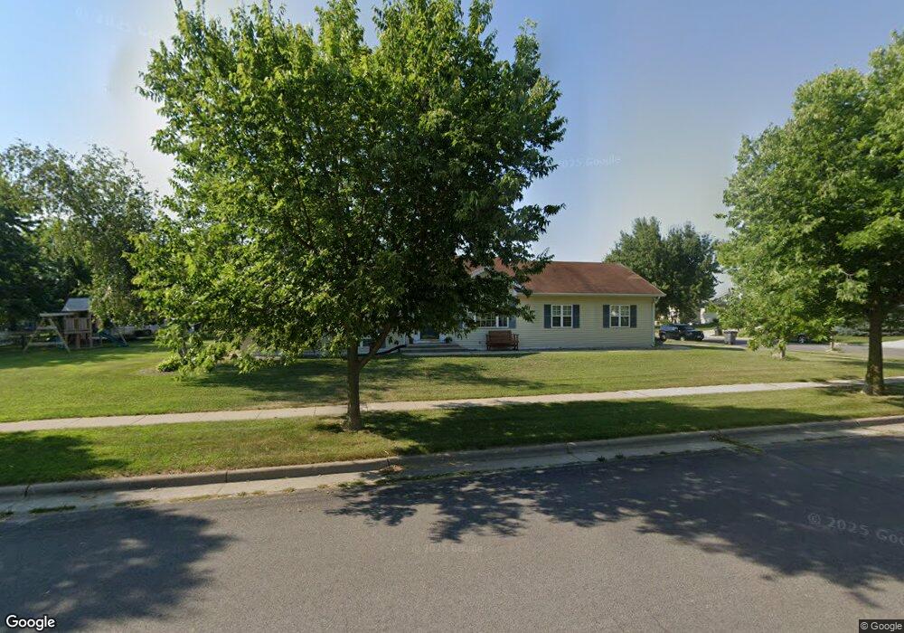
635 E Countryside Dr Evansville, WI 53536
Estimated Value: $354,000 - $404,810
4
Beds
3
Baths
2,266
Sq Ft
$170/Sq Ft
Est. Value
About This Home
This home is located at 635 E Countryside Dr, Evansville, WI 53536 and is currently estimated at $384,953, approximately $169 per square foot. 635 E Countryside Dr is a home located in Rock County with nearby schools including Levi Leonard Elementary School, Theodore Robinson Intermediate School, and J.C. McKenna Middle School.
Ownership History
Date
Name
Owned For
Owner Type
Purchase Details
Closed on
Apr 22, 2005
Sold by
Bierman Dawn Lynn
Bought by
Gruenberg David K
Current Estimated Value
Home Financials for this Owner
Home Financials are based on the most recent Mortgage that was taken out on this home.
Original Mortgage
$147,000
Outstanding Balance
$77,184
Interest Rate
6.05%
Mortgage Type
New Conventional
Estimated Equity
$307,769
Create a Home Valuation Report for This Property
The Home Valuation Report is an in-depth analysis detailing your home's value as well as a comparison with similar homes in the area
Home Values in the Area
Average Home Value in this Area
Purchase History
| Date | Buyer | Sale Price | Title Company |
|---|---|---|---|
| Gruenberg David K | $73,500 | None Available |
Source: Public Records
Mortgage History
| Date | Status | Borrower | Loan Amount |
|---|---|---|---|
| Open | Gruenberg David K | $147,000 |
Source: Public Records
Tax History Compared to Growth
Tax History
| Year | Tax Paid | Tax Assessment Tax Assessment Total Assessment is a certain percentage of the fair market value that is determined by local assessors to be the total taxable value of land and additions on the property. | Land | Improvement |
|---|---|---|---|---|
| 2024 | $5,984 | $290,900 | $47,800 | $243,100 |
| 2023 | $5,372 | $290,900 | $47,800 | $243,100 |
| 2022 | $5,479 | $290,900 | $47,800 | $243,100 |
| 2021 | $4,879 | $176,700 | $40,200 | $136,500 |
| 2020 | $4,891 | $176,700 | $40,200 | $136,500 |
| 2019 | $4,739 | $176,700 | $40,200 | $136,500 |
| 2018 | $4,554 | $176,700 | $40,200 | $136,500 |
| 2017 | $4,315 | $176,700 | $40,200 | $136,500 |
| 2016 | $4,401 | $176,700 | $40,200 | $136,500 |
| 2015 | $4,259 | $176,700 | $40,200 | $136,500 |
| 2014 | $4,233 | $176,700 | $40,200 | $136,500 |
| 2013 | $4,398 | $176,700 | $40,200 | $136,500 |
Source: Public Records
Map
Nearby Homes
- 7801 N Robert Dr
- 126 Deanna Dr
- 90 E Countryside Dr
- 13506 W Travis Trace Rd
- Lot 2 N Territorial Rd
- 200 Maple St
- 318 Almeron St
- 13001 W Glacier Dr
- 351 S Madison St
- 408 S 1st St
- 12943 W County Road M
- 5427 W Fair St
- 231 N 4th St
- 261 N 4th St
- 111 Prentice St
- 265 N 4th St
- 481 Badger Dr
- 601 Porter Rd
- 637 Garfield Ave
- 665 Hillside Ct
- 142 Gunther Dr
- 0 Genesis Dr
- 132 Gunther Dr
- 133 Debbie Dr
- 632 E Countryside Dr
- 642 E Countryside Dr
- 623 E Countryside Dr
- 626 E Countryside Dr
- 123 Debbie Dr
- 141 Gunther Dr
- 122 Gunther Dr
- 131 Gunther Dr
- 652 E Countryside Dr
- 113 Debbie Dr
- 622 E Countryside Dr
- 121 Gunther Dr
- 112 Gunther Dr
- 658 E Countryside Dr
- 103 Debbie Dr
- 140 Debbie Dr