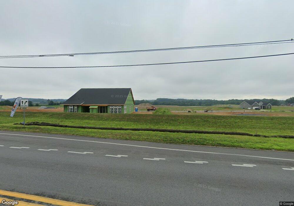
635 Hanover Pike Littlestown, PA 17340
Estimated Value: $2,784,636
3
Beds
2
Baths
3,250
Sq Ft
$857/Sq Ft
Est. Value
About This Home
This home is located at 635 Hanover Pike, Littlestown, PA 17340 and is currently priced at $2,784,636, approximately $856 per square foot. 635 Hanover Pike is a home located in Adams County with nearby schools including Rolling Acres El School, Maple Avenue Middle School, and Littlestown Senior High School.
Ownership History
Date
Name
Owned For
Owner Type
Purchase Details
Closed on
Jun 22, 2023
Sold by
Mayberry At Mason Dixon Llc
Bought by
Commonwealth Of Pennsylvania Department Of Tr
Current Estimated Value
Purchase Details
Closed on
May 9, 2023
Sold by
Mayberry At Mason Dixon Llc
Bought by
Mayberry At Mason Dixon Llc
Purchase Details
Closed on
Mar 20, 2007
Sold by
Kline Leroy D
Bought by
Mummert Enterprises Inc
Home Financials for this Owner
Home Financials are based on the most recent Mortgage that was taken out on this home.
Original Mortgage
$1,662,500
Interest Rate
6.25%
Mortgage Type
Future Advance Clause Open End Mortgage
Create a Home Valuation Report for This Property
The Home Valuation Report is an in-depth analysis detailing your home's value as well as a comparison with similar homes in the area
Home Values in the Area
Average Home Value in this Area
Purchase History
| Date | Buyer | Sale Price | Title Company |
|---|---|---|---|
| Commonwealth Of Pennsylvania Department Of Tr | -- | None Listed On Document | |
| Mayberry At Mason Dixon Llc | -- | Apple Leaf Abstracting & Settl | |
| Mummert Enterprises Inc | $1,662,500 | -- |
Source: Public Records
Mortgage History
| Date | Status | Borrower | Loan Amount |
|---|---|---|---|
| Previous Owner | Mummert Enterprises Inc | $1,662,500 |
Source: Public Records
Tax History Compared to Growth
Tax History
| Year | Tax Paid | Tax Assessment Tax Assessment Total Assessment is a certain percentage of the fair market value that is determined by local assessors to be the total taxable value of land and additions on the property. | Land | Improvement |
|---|---|---|---|---|
| 2022 | $282 | $159,000 | $159,000 | $0 |
| 2021 | $9,236 | $159,000 | $159,000 | $0 |
| 2020 | $2,462 | $159,000 | $159,000 | $0 |
| 2019 | $2,623 | $159,000 | $159,000 | $0 |
| 2018 | $561 | $347,700 | $165,800 | $181,900 |
| 2017 | $11,355 | $728,800 | $546,900 | $181,900 |
| 2016 | -- | $730,800 | $548,900 | $181,900 |
| 2015 | -- | $730,800 | $548,900 | $181,900 |
| 2014 | -- | $730,800 | $548,900 | $181,900 |
Source: Public Records
Map
Nearby Homes
- 567 Lumber St
- 559 Lumber St
- 535 Lumber St
- 5 Manor Cir Unit 103
- 449 Glenwyn Dr
- 43 Ashfield Dr Unit 14
- 41 Smith Cir
- 211 E King St
- 349 Basehoar School Rd Unit 5
- 61 E King St
- 162 Newark St
- 115 Charles St
- LOT 9 Mehring Rd
- 117 Charles St
- 140 Apple Grove Ln Unit 425
- 129 W King St
- 440 N Queen St
- 28 Gettysburg Ct Unit 60
- 135 Apple Grove Ln Unit 438
- 22 Rita Marie Ave
- 637 Hanover Pike
- 0 Hanover Pike
- 606 Hanover Pike
- 25 Wheaton Dr Unit 71
- 23 Wheaton Dr Unit 70
- 3 Tudor Ct Unit 73
- 589 E King St
- 21 Wheaton Dr Unit 69
- 686 Hanover Pike
- 19 Wheaton Dr Unit 68
- 592 E King St
- 27 Wheaton Dr Unit 72
- 5 Tudor Ct Unit 74
- 698 Hanover Pike
- 17 Wheaton Dr Unit 67
- 692 Hanover Pike
- 579 E King St Unit 5
- 22 Wheaton Dr Unit 95
- 706 Hanover Pike
- 26 Wheaton Dr Unit 96