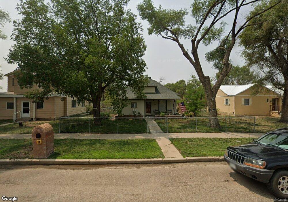
635 Locust Ave Las Animas, CO 81054
Estimated Value: $158,000 - $187,000
3
Beds
4
Baths
1,596
Sq Ft
$107/Sq Ft
Est. Value
About This Home
This home is located at 635 Locust Ave, Las Animas, CO 81054 and is currently estimated at $171,542, approximately $107 per square foot. 635 Locust Ave is a home located in Bent County with nearby schools including Las Animas Elementary School, Las Animas Junior High School, and Las Animas High School.
Ownership History
Date
Name
Owned For
Owner Type
Purchase Details
Closed on
Jul 7, 2016
Sold by
Diez Tamora and Diez Tamora Ellen
Bought by
Werick Eric
Current Estimated Value
Home Financials for this Owner
Home Financials are based on the most recent Mortgage that was taken out on this home.
Original Mortgage
$5,000
Outstanding Balance
$4,164
Interest Rate
5%
Mortgage Type
Purchase Money Mortgage
Estimated Equity
$167,378
Create a Home Valuation Report for This Property
The Home Valuation Report is an in-depth analysis detailing your home's value as well as a comparison with similar homes in the area
Home Values in the Area
Average Home Value in this Area
Purchase History
| Date | Buyer | Sale Price | Title Company |
|---|---|---|---|
| Werick Eric | $89,900 | None Available |
Source: Public Records
Mortgage History
| Date | Status | Borrower | Loan Amount |
|---|---|---|---|
| Open | Werick Eric | $5,000 |
Source: Public Records
Tax History Compared to Growth
Tax History
| Year | Tax Paid | Tax Assessment Tax Assessment Total Assessment is a certain percentage of the fair market value that is determined by local assessors to be the total taxable value of land and additions on the property. | Land | Improvement |
|---|---|---|---|---|
| 2024 | $430 | $7,852 | $165 | $7,687 |
| 2023 | $854 | $7,852 | $165 | $7,687 |
| 2022 | $1,097 | $11,640 | $240 | $11,400 |
| 2021 | $1,102 | $10,489 | $200 | $10,289 |
| 2020 | $1,005 | $9,609 | $200 | $9,409 |
| 2019 | $1,069 | $9,609 | $200 | $9,409 |
| 2018 | $1,069 | $10,101 | $202 | $9,899 |
| 2017 | $1,078 | $10,101 | $202 | $9,899 |
| 2016 | $1,179 | $11,076 | $223 | $10,853 |
| 2015 | -- | $9,055 | $223 | $8,832 |
| 2014 | -- | $9,254 | $223 | $9,031 |
| 2013 | -- | $9,254 | $223 | $9,031 |
Source: Public Records
Map
Nearby Homes
- 1032 Locust Ave
- 1046 Locust Ave
- 705 Locust Ave
- 643&645 Ambassador Thompson Blvd Unit 2
- 509 5th St
- 428 Elm Ave
- 629 St Vrain Ave
- 422 Grove Ave
- 312 Carson Ave
- 706 3rd St
- 243 Elm Ave
- TBD Ash Ave
- 1103 Ambassador Thompson Blvd
- 433 Grove Ave
- 626 St Vrain St
- 651 Ash Ave
- 626 St Vrain Ave
- 434 2nd St
- 426 Poplar Ave
- 535 Moore Ave
- 649 Locust Ave
- 649 Locust Ave Unit SF
- 6 35 Locust St
- 651 Locust Ave
- 611 Locust Ave
- 625 Locust Ave
- 611 Locust Ave Unit 1
- 636 Grand Ave
- 1032 Locust Ave Unit 9
- 1046 Locust Ave Unit 11
- 1015 Locust Ave Unit 15-1
- 630 Grand Ave
- 658 Grand Ave
- 624 Grand Ave
- 650 Locust Ave
- 652 Grand Ave
- 603 Locust Ave
- 643-645 Ambassador Thompson Blvd
- 647 Ambassador Thompson Blvd
- 624 Locust Ave