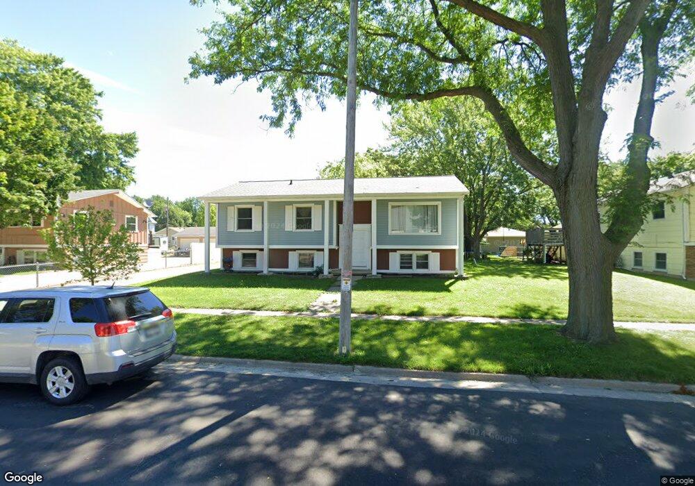
635 Maple St Unit 637 Fort Atkinson, WI 53538
Estimated Value: $285,000 - $312,000
5
Beds
2
Baths
2,188
Sq Ft
$137/Sq Ft
Est. Value
About This Home
This home is located at 635 Maple St Unit 637, Fort Atkinson, WI 53538 and is currently estimated at $298,689, approximately $136 per square foot. 635 Maple St Unit 637 is a home located in Jefferson County with nearby schools including Luther Elementary School, Fort Atkinson Middle School, and Fort Atkinson High School.
Ownership History
Date
Name
Owned For
Owner Type
Purchase Details
Closed on
Jan 25, 2023
Sold by
Crites Barbara J
Bought by
Hotter Properties Llc
Current Estimated Value
Purchase Details
Closed on
Dec 20, 2007
Sold by
Petrie Allen L and Petrie Gale
Bought by
Crites Barbara J
Purchase Details
Closed on
Oct 31, 2005
Sold by
Jackson Glenn A
Bought by
Petrie Allen L and Petrie Gale
Create a Home Valuation Report for This Property
The Home Valuation Report is an in-depth analysis detailing your home's value as well as a comparison with similar homes in the area
Home Values in the Area
Average Home Value in this Area
Purchase History
| Date | Buyer | Sale Price | Title Company |
|---|---|---|---|
| Hotter Properties Llc | $267,000 | Barbara J. Crites | |
| Crites Barbara J | $230,000 | None Available | |
| Petrie Allen L | $140,000 | None Available |
Source: Public Records
Tax History Compared to Growth
Tax History
| Year | Tax Paid | Tax Assessment Tax Assessment Total Assessment is a certain percentage of the fair market value that is determined by local assessors to be the total taxable value of land and additions on the property. | Land | Improvement |
|---|---|---|---|---|
| 2024 | $3,780 | $202,900 | $49,500 | $153,400 |
| 2023 | $3,746 | $202,900 | $49,500 | $153,400 |
| 2022 | $3,928 | $141,000 | $34,000 | $107,000 |
| 2021 | $3,485 | $141,000 | $34,000 | $107,000 |
| 2020 | $3,329 | $141,000 | $34,000 | $107,000 |
| 2019 | $3,212 | $141,000 | $34,000 | $107,000 |
| 2018 | $3,075 | $141,000 | $34,000 | $107,000 |
| 2017 | $2,976 | $141,000 | $34,000 | $107,000 |
| 2016 | $3,072 | $139,600 | $30,300 | $109,300 |
| 2015 | $3,054 | $139,600 | $30,300 | $109,300 |
| 2014 | $3,087 | $139,600 | $30,300 | $109,300 |
| 2013 | $3,027 | $139,600 | $30,300 | $109,300 |
Source: Public Records
Map
Nearby Homes
- 11 S 4th St E
- 420 Jones Ave
- 234 S Main St
- 1000 Whitetail Dr
- 233 S Water St E
- 1305 Endl Blvd
- 421 Milwaukee Ave E
- 519 Milwaukee Ave E
- 206 Hilltop Trail
- 318 Monroe St
- 416 N 3rd St
- 312 Nadig Dr
- 1124 Sherman Ave W
- 265 Heritage Dr Unit 19
- 311 Linden St
- 1222 Sherman Ave W Unit P
- 610 N Main St
- 1233 Sherman Ave W
- 1232 Sherman Ave W
- 1001 Edgewater Rd
- 635-637 Maple St
- 112-114 Park St
- 631 Maple St Unit 633
- 112 Park St Unit 114
- 636 Grant St
- 634 Grant St
- 102 Park St Unit 104
- 629 Maple St
- 630 Grant St
- N867 Maple St
- N875 Maple St
- N831 Maple St
- N814 Maple St
- N809 Maple St
- N828 Maple St
- N826 Maple St
- N840 Maple St
- N862 Maple St
- N844 Maple St
- N856 Maple St