635 Maple Summit Rd Mill Run, PA 15464
Estimated Value: $251,000 - $425,000
3
Beds
2
Baths
1,404
Sq Ft
$240/Sq Ft
Est. Value
About This Home
This home is located at 635 Maple Summit Rd, Mill Run, PA 15464 and is currently estimated at $336,687, approximately $239 per square foot. 635 Maple Summit Rd is a home with nearby schools including Uniontown Area Senior High School.
Ownership History
Date
Name
Owned For
Owner Type
Purchase Details
Closed on
Apr 6, 2022
Sold by
Harry Burnsworth Ii and Harry Jayme L
Bought by
Smiley Patrick H and Smiley Donna D
Current Estimated Value
Home Financials for this Owner
Home Financials are based on the most recent Mortgage that was taken out on this home.
Original Mortgage
$220,000
Outstanding Balance
$204,367
Interest Rate
3.89%
Mortgage Type
New Conventional
Estimated Equity
$132,320
Purchase Details
Closed on
Apr 15, 2011
Sold by
Burnsworth Harry and Burnsworth Jayme L
Bought by
Burnsworth Harry and Burnsworth Jayme L
Create a Home Valuation Report for This Property
The Home Valuation Report is an in-depth analysis detailing your home's value as well as a comparison with similar homes in the area
Home Values in the Area
Average Home Value in this Area
Purchase History
| Date | Buyer | Sale Price | Title Company |
|---|---|---|---|
| Smiley Patrick H | $335,000 | None Listed On Document | |
| Burnsworth Harry | -- | None Available |
Source: Public Records
Mortgage History
| Date | Status | Borrower | Loan Amount |
|---|---|---|---|
| Open | Smiley Patrick H | $220,000 |
Source: Public Records
Tax History
| Year | Tax Paid | Tax Assessment Tax Assessment Total Assessment is a certain percentage of the fair market value that is determined by local assessors to be the total taxable value of land and additions on the property. | Land | Improvement |
|---|---|---|---|---|
| 2025 | $1,678 | $65,585 | $16,460 | $49,125 |
| 2024 | $1,601 | $65,585 | $16,460 | $49,125 |
| 2023 | $3,201 | $65,585 | $16,460 | $49,125 |
| 2022 | $3,201 | $65,585 | $16,460 | $49,125 |
| 2021 | $3,201 | $65,585 | $16,460 | $49,125 |
| 2020 | $3,128 | $65,585 | $16,460 | $49,125 |
| 2019 | $2,901 | $65,585 | $16,460 | $49,125 |
| 2018 | $2,747 | $65,585 | $16,460 | $49,125 |
| 2017 | $2,747 | $65,585 | $16,460 | $49,125 |
| 2016 | -- | $65,585 | $16,460 | $49,125 |
| 2015 | -- | $65,585 | $16,460 | $49,125 |
| 2014 | -- | $131,170 | $32,920 | $98,250 |
Source: Public Records
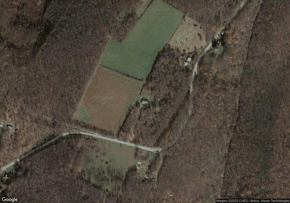
Map
Nearby Homes
- 0 Stewarton Rd Unit 1737788
- 310 Steyer Rd
- Lot 4 Cranberry Rd
- 0 Odonnal Rd Unit 1737793
- 109 Blaine St
- 100 Jersey Hollow Rd
- 12 Logan St
- 17 Farm Ln
- 305 Abram St
- 433 Greenbrier Rd
- 0 Greenbriar Rd
- 629 River Rd
- 626 Sterner St
- 340 W Laurel Ln
- 631 Meyers St
- SR 653 Scullton Rd
- 0 Flanigan Rd
- 833 Oden St
- 104 Groff Rd
- 842 Anderson St
- 676 Maple Summit Rd
- 571 Maple Summit Rd
- 578 Maple Summit Rd
- 113 Burnworth Rd
- 555 Maple Summit Rd
- 0 Maple Summit Rd
- 566 Maple Summit Rd
- 549 Maple Summit Rd
- 549 Maple Summit Rd
- 108 Augustine Rd
- 121 Augustine Rd
- 517 Maple Summit Rd
- 175 Burnworth Rd
- Lot #1 Maple Summit Rd
- 00 Maple Summit Rd
- 250 Maple Summit Rd
- 0 Maple Summit Rd
- 780 Maple Summit Rd
- 475 Maple Summit Rd
- 814 Maple Summit Rd
Your Personal Tour Guide
Ask me questions while you tour the home.