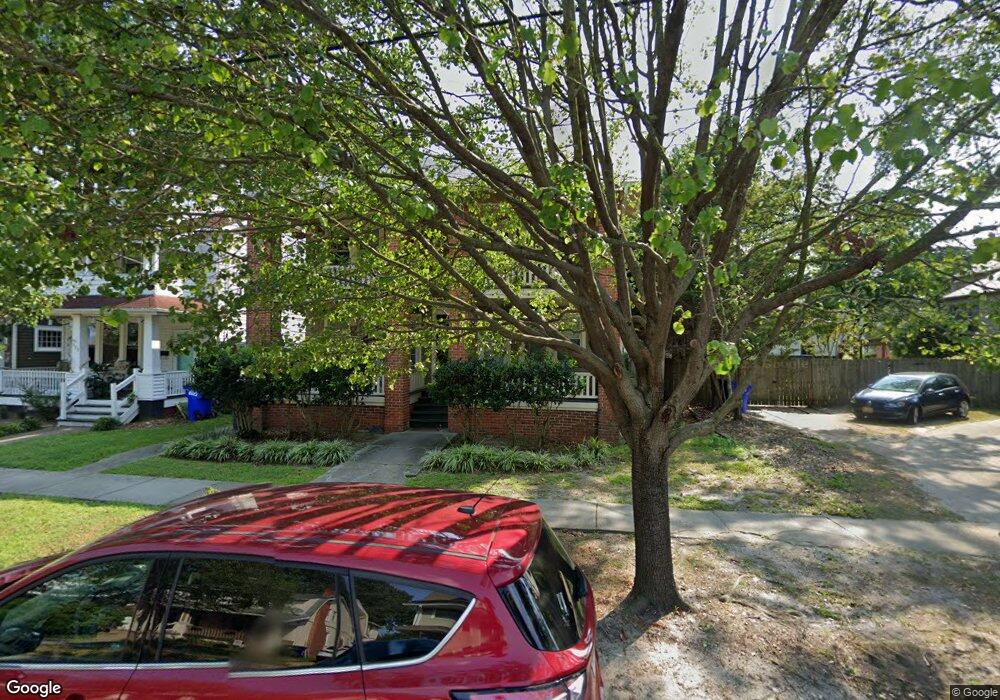
635 Maryland Ave Unit 1 Norfolk, VA 23508
Colonial Place NeighborhoodEstimated Value: $174,000 - $200,000
2
Beds
1
Bath
973
Sq Ft
$194/Sq Ft
Est. Value
About This Home
This home is located at 635 Maryland Ave Unit 1, Norfolk, VA 23508 and is currently estimated at $188,552, approximately $193 per square foot. 635 Maryland Ave Unit 1 is a home located in Norfolk City with nearby schools including Granby Elementary School, Blair Middle School, and Maury High School.
Ownership History
Date
Name
Owned For
Owner Type
Purchase Details
Closed on
Oct 16, 2006
Sold by
635 Maryland Avenue Associates Llc
Bought by
Cheyne Benjamin G
Current Estimated Value
Home Financials for this Owner
Home Financials are based on the most recent Mortgage that was taken out on this home.
Original Mortgage
$132,000
Outstanding Balance
$78,811
Interest Rate
6.47%
Mortgage Type
New Conventional
Estimated Equity
$109,741
Create a Home Valuation Report for This Property
The Home Valuation Report is an in-depth analysis detailing your home's value as well as a comparison with similar homes in the area
Home Values in the Area
Average Home Value in this Area
Purchase History
| Date | Buyer | Sale Price | Title Company |
|---|---|---|---|
| Cheyne Benjamin G | $165,000 | -- |
Source: Public Records
Mortgage History
| Date | Status | Borrower | Loan Amount |
|---|---|---|---|
| Open | Cheyne Benjamin G | $132,000 | |
| Closed | Cheyne Benjamin G | $33,000 |
Source: Public Records
Tax History Compared to Growth
Tax History
| Year | Tax Paid | Tax Assessment Tax Assessment Total Assessment is a certain percentage of the fair market value that is determined by local assessors to be the total taxable value of land and additions on the property. | Land | Improvement |
|---|---|---|---|---|
| 2025 | $1,894 | $151,500 | $20,400 | $131,100 |
| 2024 | $2,034 | $165,400 | $20,400 | $145,000 |
| 2023 | $1,985 | $158,800 | $20,400 | $138,400 |
| 2022 | $1,830 | $146,400 | $14,600 | $131,800 |
| 2021 | $1,725 | $138,000 | $14,600 | $123,400 |
| 2020 | $1,879 | $150,300 | $14,600 | $135,700 |
| 2019 | $1,879 | $150,300 | $14,600 | $135,700 |
| 2018 | $1,755 | $140,400 | $14,600 | $125,800 |
| 2017 | $1,631 | $141,800 | $14,600 | $127,200 |
| 2016 | $1,631 | $145,400 | $14,800 | $130,600 |
| 2015 | $1,672 | $145,400 | $14,800 | $130,600 |
| 2014 | $1,672 | $145,400 | $14,800 | $130,600 |
Source: Public Records
Map
Nearby Homes
- 609 Virginia Ave
- 4307 Newport Ave
- 4107 Newport Ave
- 611 Carolina Ave
- 530 Virginia Ave
- 511 Pennsylvania Ave
- 714 Michigan Ave
- 719 Michigan Ave
- 3615 Newport Ave
- 3716 Colonial Ave
- 710 W 37th St
- 823 W 41st St
- 420 Maryland Ave
- 3706 Colley Ave Unit A
- 533 W 36th St Unit 304
- 852 W 42nd St
- 793 W 48th St
- 711 Rhode Island Ave
- 410 Carolina Ave
- 418 Delaware Ave Unit 205
- 635 Maryland Ave Unit 2
- 635 Maryland Ave Unit 4
- 635 Maryland Ave Unit 3
- 633 Maryland Ave
- 631 Maryland Ave
- 4214 Gosnold Ave
- 627 Maryland Ave
- 638 Virginia Ave
- 636 Virginia Ave
- 623 Maryland Ave
- 4200 Gosnold Ave
- 632 Virginia Ave
- 630 Maryland Ave
- 628 Maryland Ave
- 624 Maryland Ave
- 4300 Gosnold Ave
- 4300 Gosnold Ave Unit B
- 628 Virginia Ave
- 621 Maryland Ave
- 622 Maryland Ave