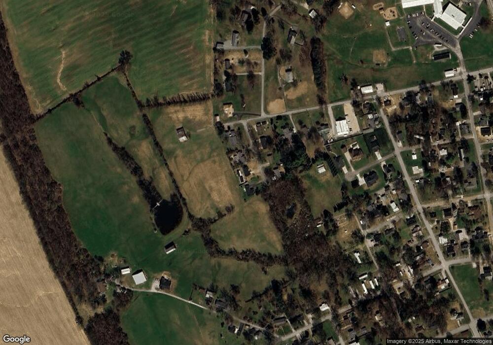
635 Mockingbird Ave Calhoun, KY 42327
Estimated Value: $160,000 - $229,000
3
Beds
2
Baths
308
Sq Ft
$613/Sq Ft
Est. Value
About This Home
This home is located at 635 Mockingbird Ave, Calhoun, KY 42327 and is currently estimated at $188,687, approximately $612 per square foot. 635 Mockingbird Ave is a home located in McLean County with nearby schools including McLean County High School.
Ownership History
Date
Name
Owned For
Owner Type
Purchase Details
Closed on
Apr 20, 2018
Sold by
Rickard David T and Rickard Patty D
Bought by
Bradley White W
Current Estimated Value
Home Financials for this Owner
Home Financials are based on the most recent Mortgage that was taken out on this home.
Original Mortgage
$111,935
Outstanding Balance
$98,565
Interest Rate
5.62%
Mortgage Type
FHA
Estimated Equity
$90,122
Purchase Details
Closed on
Dec 1, 2001
Bought by
Rickard David T and Rickard Patty D
Create a Home Valuation Report for This Property
The Home Valuation Report is an in-depth analysis detailing your home's value as well as a comparison with similar homes in the area
Purchase History
| Date | Buyer | Sale Price | Title Company |
|---|---|---|---|
| Bradley White W | $114,100 | Foreman Watson Land Title Llc | |
| Rickard David T | $93,000 | -- |
Source: Public Records
Mortgage History
| Date | Status | Borrower | Loan Amount |
|---|---|---|---|
| Open | Bradley White W | $111,935 |
Source: Public Records
Tax History
| Year | Tax Paid | Tax Assessment Tax Assessment Total Assessment is a certain percentage of the fair market value that is determined by local assessors to be the total taxable value of land and additions on the property. | Land | Improvement |
|---|---|---|---|---|
| 2025 | $1,466 | $139,000 | $7,000 | $132,000 |
| 2024 | $1,465 | $139,000 | $7,000 | $132,000 |
| 2023 | $1,472 | $139,000 | $7,000 | $132,000 |
| 2022 | $1,466 | $139,000 | $7,000 | $132,000 |
| 2021 | $1,199 | $114,000 | $7,000 | $107,000 |
| 2020 | $1,131 | $114,000 | $7,000 | $107,000 |
| 2019 | $1,132 | $114,000 | $7,000 | $107,000 |
| 2018 | $1,082 | $110,250 | $0 | $0 |
| 2016 | $951 | $100,250 | $0 | $0 |
| 2015 | $913 | $200,500 | $0 | $0 |
| 2014 | $907 | $200,500 | $0 | $0 |
| 2010 | -- | $100,250 | $0 | $0 |
Source: Public Records
Map
Nearby Homes
- 295 Walnut St Unit C
- 660 W 1st St
- 255 E 2nd St
- 426 Kentucky 136
- 254 State Route 81 N
- 1487 State Route 81 N
- 6 Big Oak Circle Rd
- 5 Big Oak Circle Rd
- 9 Parkview Cir
- 8 Parkview Cir
- 4785 State Route 1046
- 1835 Brooks Schoolhouse Rd
- 0 Kentucky 140
- 5007 Kentucky 1155
- 150 Highbanks Ferry Rd
- 5851 Pack Church Rd
- 1432 Kentucky 797
- Ray Ln Unit LotWP001
- 913 Sand Hill Rd
- 106 School St
- 615 Mockingbird Ave
- 675 Mockingbird Ave
- 630 Mockingbird Ave
- 610 Mockingbird Ave
- 670 Mockingbird Ave
- 695 Mockingbird Ave
- 690 Mockingbird Ave
- 385 W 7th St Unit C
- 705 Revlett Dr
- 715 Revlett Dr
- 345 W 7th St Unit C
- 380 W 7th St Unit C
- 110 Oak Tree Ln
- 380 W 5th St Unit C
- 725 Revlett Dr
- 100 Oak Tree Ln
- 370 W 5th St Unit C
- 360 W 5th St Unit C
- 430 Vine St
- 745 Revlett Dr
