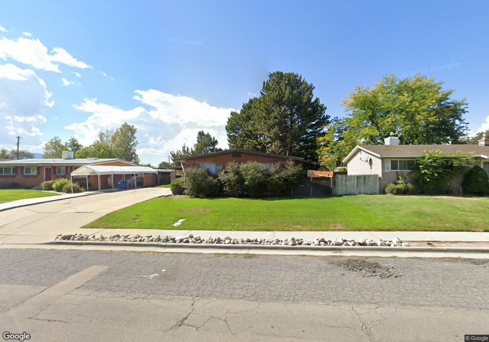
635 N 350 W American Fork, UT 84003
Estimated Value: $481,000 - $526,000
3
Beds
3
Baths
2,400
Sq Ft
$212/Sq Ft
Est. Value
About This Home
This home is located at 635 N 350 W, American Fork, UT 84003 and is currently estimated at $508,888, approximately $212 per square foot. 635 N 350 W is a home located in Utah County with nearby schools including Shelley Elementary School, American Fork Junior High School, and American Fork High School.
Ownership History
Date
Name
Owned For
Owner Type
Purchase Details
Closed on
Nov 18, 2005
Sold by
Sparks Margaret H
Bought by
Jerman Teri
Current Estimated Value
Purchase Details
Closed on
Jan 19, 2005
Sold by
Nielsen Margaret H and Sparks Margaret H
Bought by
Sparks Margaret H and The Nielsen Family Trust
Create a Home Valuation Report for This Property
The Home Valuation Report is an in-depth analysis detailing your home's value as well as a comparison with similar homes in the area
Home Values in the Area
Average Home Value in this Area
Purchase History
| Date | Buyer | Sale Price | Title Company |
|---|---|---|---|
| Jerman Teri | -- | Title West Title Company | |
| Sparks Margaret H | -- | -- |
Source: Public Records
Mortgage History
| Date | Status | Borrower | Loan Amount |
|---|---|---|---|
| Closed | Jerman Teri | $0 |
Source: Public Records
Tax History Compared to Growth
Tax History
| Year | Tax Paid | Tax Assessment Tax Assessment Total Assessment is a certain percentage of the fair market value that is determined by local assessors to be the total taxable value of land and additions on the property. | Land | Improvement |
|---|---|---|---|---|
| 2025 | $1,997 | $247,335 | $191,600 | $258,100 |
| 2024 | $1,997 | $221,870 | $0 | $0 |
| 2023 | $1,827 | $215,270 | $0 | $0 |
| 2022 | $2,043 | $237,490 | $0 | $0 |
| 2021 | $1,748 | $317,400 | $137,500 | $179,900 |
| 2020 | $1,634 | $287,800 | $122,800 | $165,000 |
| 2019 | $1,484 | $270,300 | $105,300 | $165,000 |
| 2018 | $1,396 | $243,100 | $94,700 | $148,400 |
| 2017 | $1,365 | $128,260 | $0 | $0 |
| 2016 | $1,276 | $111,430 | $0 | $0 |
| 2015 | $1,227 | $101,695 | $0 | $0 |
| 2014 | $1,223 | $99,990 | $0 | $0 |
Source: Public Records
Map
Nearby Homes
- 641 N 420 W
- 540 N 300 W
- 782 N 200 W
- 796 N 200 W
- 621 N 100 W
- 914 N 400 W Unit A
- 356 N 480 W
- 3889 W 950 Cir N Unit 366
- 602 W 860 N
- 984 N 300 W
- 987 N 410 W
- 365 N 100 W
- 370 W Pacific Dr Unit 1
- 962 N 780 St W Unit 508
- 974 N 780 St W Unit 509
- 916 N 780 St W Unit 501
- 399 W Pacific Dr
- 471 W 1040 N
- 10238 N 6530 W Unit 15
- 1051 N 390 E Unit 103