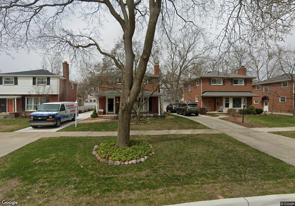
635 N Selfridge Blvd Clawson, MI 48017
Estimated Value: $415,606 - $454,000
1
Bed
3
Baths
2,130
Sq Ft
$202/Sq Ft
Est. Value
About This Home
This home is located at 635 N Selfridge Blvd, Clawson, MI 48017 and is currently estimated at $431,152, approximately $202 per square foot. 635 N Selfridge Blvd is a home located in Oakland County with nearby schools including Clawson High School, Japhet School, and Guardian Angels School.
Ownership History
Date
Name
Owned For
Owner Type
Purchase Details
Closed on
Jun 28, 2019
Sold by
Brien Elmer L O and Brien Elizabeth B O
Bought by
Brien Elmer L O and Brien Elizabeth B O
Current Estimated Value
Purchase Details
Closed on
Mar 27, 1997
Sold by
Bradley Sheldon D
Bought by
O'Brien Elmer L
Home Financials for this Owner
Home Financials are based on the most recent Mortgage that was taken out on this home.
Original Mortgage
$104,000
Outstanding Balance
$13,482
Interest Rate
7.92%
Estimated Equity
$417,670
Create a Home Valuation Report for This Property
The Home Valuation Report is an in-depth analysis detailing your home's value as well as a comparison with similar homes in the area
Home Values in the Area
Average Home Value in this Area
Purchase History
| Date | Buyer | Sale Price | Title Company |
|---|---|---|---|
| Brien Elmer L O | -- | None Available | |
| O'Brien Elmer L | $75,000 | -- |
Source: Public Records
Mortgage History
| Date | Status | Borrower | Loan Amount |
|---|---|---|---|
| Open | O'Brien Elmer L | $104,000 |
Source: Public Records
Tax History Compared to Growth
Tax History
| Year | Tax Paid | Tax Assessment Tax Assessment Total Assessment is a certain percentage of the fair market value that is determined by local assessors to be the total taxable value of land and additions on the property. | Land | Improvement |
|---|---|---|---|---|
| 2024 | $5,222 | $201,660 | $0 | $0 |
| 2023 | $5,007 | $187,620 | $0 | $0 |
| 2022 | $5,047 | $174,370 | $0 | $0 |
| 2021 | $4,943 | $167,240 | $0 | $0 |
| 2020 | $4,789 | $158,880 | $0 | $0 |
| 2019 | $4,949 | $155,930 | $0 | $0 |
| 2018 | $4,913 | $146,370 | $0 | $0 |
| 2017 | $4,884 | $143,230 | $0 | $0 |
| 2016 | $4,931 | $135,490 | $0 | $0 |
| 2015 | -- | $124,950 | $0 | $0 |
| 2014 | -- | $107,870 | $0 | $0 |
| 2011 | -- | $96,070 | $0 | $0 |
Source: Public Records
Map
Nearby Homes
- 846 Phillips Ave
- 908 W Elmwood Ave
- Fairfax Plan at The Village at Clawson Park
- Penrose Plan at The Village at Clawson Park
- 496 Langley Blvd
- 1092 Shenandoah Dr
- 609 John M Ave
- 1226 Shenandoah Dr
- 351 W Baker Ave
- 1823 Torquay Ave
- 4921 N Crooks Rd Unit N-10
- 4909 Coventry St Unit 287
- 1806 Torquay Ave
- 2134 Wickham St
- 1936 Torquay Ave Unit 205
- 4909 Crooks Rd Unit C7
- 4909 Crooks Rd Unit 4
- 4921 Crooks Rd Unit M-10
- 4952 Coventry St Unit 315
- 1341 Oakley Rd
- 625 N Selfridge Blvd
- 645 N Selfridge Blvd
- 655 N Selfridge Blvd
- 615 N Selfridge Blvd
- 698 Shenandoah Dr
- 688 Shenandoah Dr
- 605 N Selfridge Blvd
- 708 Shenandoah Dr Unit Bldg-Unit
- 708 Shenandoah Dr
- 665 N Selfridge Blvd
- 718 Shenandoah Dr
- 555 N Selfridge Blvd
- 705 N Selfridge Blvd
- 0000 W Selfridge Blvd
- 0 W Selfridge Blvd
- 0 W Selfridge Blvd Unit G31202204
- 0 W Selfridge Blvd Unit 888726
- 636 N Selfridge Blvd
- 646 N Selfridge Blvd
- 664 Shenandoah Dr