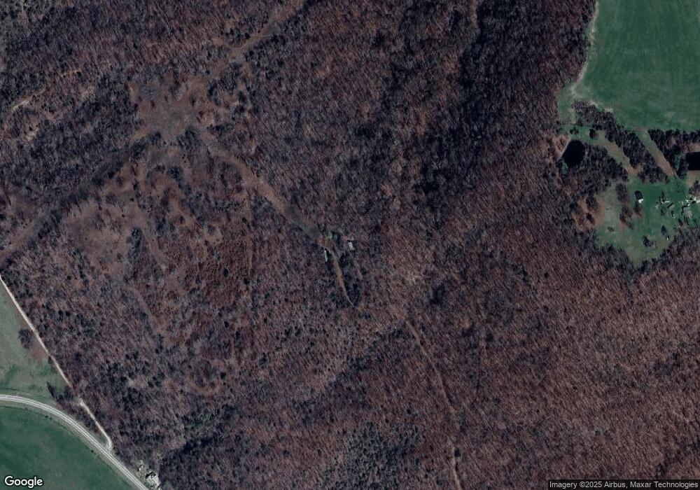
635 Nighthawk Ln Green Forest, AR 72638
Estimated Value: $162,830 - $489,000
--
Bed
2
Baths
1,392
Sq Ft
$197/Sq Ft
Est. Value
About This Home
This home is located at 635 Nighthawk Ln, Green Forest, AR 72638 and is currently estimated at $274,208, approximately $196 per square foot. 635 Nighthawk Ln is a home located in Carroll County with nearby schools including Alpena Elementary School and Alpena High School.
Ownership History
Date
Name
Owned For
Owner Type
Purchase Details
Closed on
Jul 6, 2018
Sold by
Ttec Llc
Bought by
Cox Donald L and Cox Lucille M
Current Estimated Value
Purchase Details
Closed on
Mar 18, 2011
Bought by
Ttec Llc
Purchase Details
Closed on
Oct 18, 2005
Sold by
Pennock
Bought by
Ttec Llc
Purchase Details
Closed on
Mar 6, 2002
Sold by
Simmons
Bought by
Pennock
Purchase Details
Closed on
Jan 30, 2002
Sold by
Peel
Bought by
Simmons
Purchase Details
Closed on
Oct 9, 1992
Sold by
Bobbitt
Bought by
Peel
Create a Home Valuation Report for This Property
The Home Valuation Report is an in-depth analysis detailing your home's value as well as a comparison with similar homes in the area
Home Values in the Area
Average Home Value in this Area
Purchase History
| Date | Buyer | Sale Price | Title Company |
|---|---|---|---|
| Cox Donald L | -- | None Available | |
| Ttec Llc | -- | -- | |
| Ttec Llc | $80,000 | -- | |
| Pennock | $40,000 | -- | |
| Simmons | -- | -- | |
| Peel | $15,000 | -- |
Source: Public Records
Tax History Compared to Growth
Tax History
| Year | Tax Paid | Tax Assessment Tax Assessment Total Assessment is a certain percentage of the fair market value that is determined by local assessors to be the total taxable value of land and additions on the property. | Land | Improvement |
|---|---|---|---|---|
| 2024 | $597 | $17,490 | $1,900 | $15,590 |
| 2023 | $548 | $17,520 | $1,900 | $15,620 |
| 2022 | $506 | $17,520 | $1,900 | $15,620 |
| 2021 | $460 | $9,900 | $1,840 | $8,060 |
| 2020 | $461 | $9,900 | $1,840 | $8,060 |
| 2019 | $479 | $9,900 | $1,840 | $8,060 |
| 2018 | $479 | $9,900 | $1,840 | $8,060 |
| 2017 | $479 | $9,900 | $1,840 | $8,060 |
| 2016 | $562 | $12,100 | $3,250 | $8,850 |
| 2015 | $532 | $12,100 | $3,250 | $8,850 |
| 2014 | -- | $12,100 | $3,250 | $8,850 |
Source: Public Records
Map
Nearby Homes
- 696 Cr 933
- 1637 Cr 935
- 0 Cr 995 Rd Unit 1316360
- 1586 Nc 1700
- 0 Nc1800 Unit 1292846
- 8828 U S 412
- 001-01791-000 412 Hwy
- 000 County Road 972
- 397 Nc 1754
- Hc 33 Box 112
- 1479 County Road 972
- 12256 Highway 412
- 639 Nc 1625
- 27950 S Hwy 103
- 9250 County Road 905
- 12140 Highway 103 S
- 786 Nc 1900
- 46 Nc 1902
- 0 Hc 33 Unit 1323147
- 0 Crossroads Rd
- 20249 Highway 103 S
- 2450 County Road 959
- 282 Nighthawk Ln
- 1584 County Road 961
- 1482 County Road 961
- 2208 County Road 959
- 16 Nighthawk Ln
- 189 County Road 959
- 20745 Highway 103 S
- 20745 Highway 103 S
- n/a County Road 961
- 19632 Highway 103 S
- 19632 Highway 103 S
- 498 County Road 9590
- 0 County Road 959 Unit 18015910
- 0 County Road 959
- 0 Cr 959
- 19150 Highway 103 S
- 460 Foxtrot Ln
