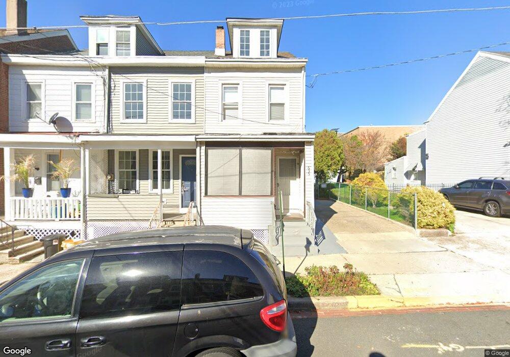
635 Ohio Ave Ewing, NJ 08638
North Trenton NeighborhoodEstimated Value: $152,970 - $241,000
Studio
--
Bath
1,230
Sq Ft
$155/Sq Ft
Est. Value
About This Home
This home is located at 635 Ohio Ave, Ewing, NJ 08638 and is currently estimated at $190,243, approximately $154 per square foot. 635 Ohio Ave is a home located in Mercer County with nearby schools including Dr. Martin Luther King Middle School, Trenton Central High School - Main Campus, and Paul Robeson Charter School For The Humanities.
Ownership History
Date
Name
Owned For
Owner Type
Purchase Details
Closed on
Aug 21, 2002
Sold by
Rybakiewicz Grazyna
Bought by
Jarosz Helena and Jarosz Bogumil
Current Estimated Value
Purchase Details
Closed on
Apr 1, 1999
Sold by
Lemanski Antoni
Bought by
Rybakiewicz Grazyna and Rybakiewicz Ryzard
Home Financials for this Owner
Home Financials are based on the most recent Mortgage that was taken out on this home.
Original Mortgage
$48,400
Interest Rate
7.04%
Mortgage Type
Purchase Money Mortgage
Create a Home Valuation Report for This Property
The Home Valuation Report is an in-depth analysis detailing your home's value as well as a comparison with similar homes in the area
Home Values in the Area
Average Home Value in this Area
Purchase History
| Date | Buyer | Sale Price | Title Company |
|---|---|---|---|
| Jarosz Helena | $63,000 | -- | |
| Rybakiewicz Grazyna | $60,500 | -- |
Source: Public Records
Mortgage History
| Date | Status | Borrower | Loan Amount |
|---|---|---|---|
| Previous Owner | Rybakiewicz Grazyna | $48,400 |
Source: Public Records
Tax History
| Year | Tax Paid | Tax Assessment Tax Assessment Total Assessment is a certain percentage of the fair market value that is determined by local assessors to be the total taxable value of land and additions on the property. | Land | Improvement |
|---|---|---|---|---|
| 2025 | $2,883 | $49,700 | $8,100 | $41,600 |
| 2024 | $2,767 | $49,700 | $8,100 | $41,600 |
| 2023 | $2,767 | $49,700 | $8,100 | $41,600 |
| 2022 | $2,713 | $49,700 | $8,100 | $41,600 |
| 2021 | $2,760 | $49,700 | $8,100 | $41,600 |
| 2020 | $2,751 | $49,700 | $8,100 | $41,600 |
| 2019 | $2,707 | $49,700 | $8,100 | $41,600 |
| 2018 | $2,591 | $49,700 | $8,100 | $41,600 |
| 2017 | $2,463 | $49,700 | $8,100 | $41,600 |
| 2016 | $3,981 | $69,200 | $18,500 | $50,700 |
| 2015 | $3,967 | $69,200 | $18,500 | $50,700 |
| 2014 | $3,949 | $69,200 | $18,500 | $50,700 |
Source: Public Records
Map
Nearby Homes
- 629 Ohio Ave
- 877 Brunswick Ave
- 530 Spruce St
- 23 Cain Ave
- 1415 Princeton Ave
- 902 Ohio Ave
- 613 N Olden Ave
- 1134 Brunswick Ave
- 219 Phillips Ave
- 36 E Paul Ave
- 101-103 Sherman Ave
- 369 Saint Joes Ave
- 123 Vine St
- 94 Race St
- 23 Race St
- 65 Race St
- 2 & 4 J Russel Smith Rd
- 1012 N Willow St
- 12 J Russel Smith Rd
- 1406 Brunswick Ave
Your Personal Tour Guide
Ask me questions while you tour the home.