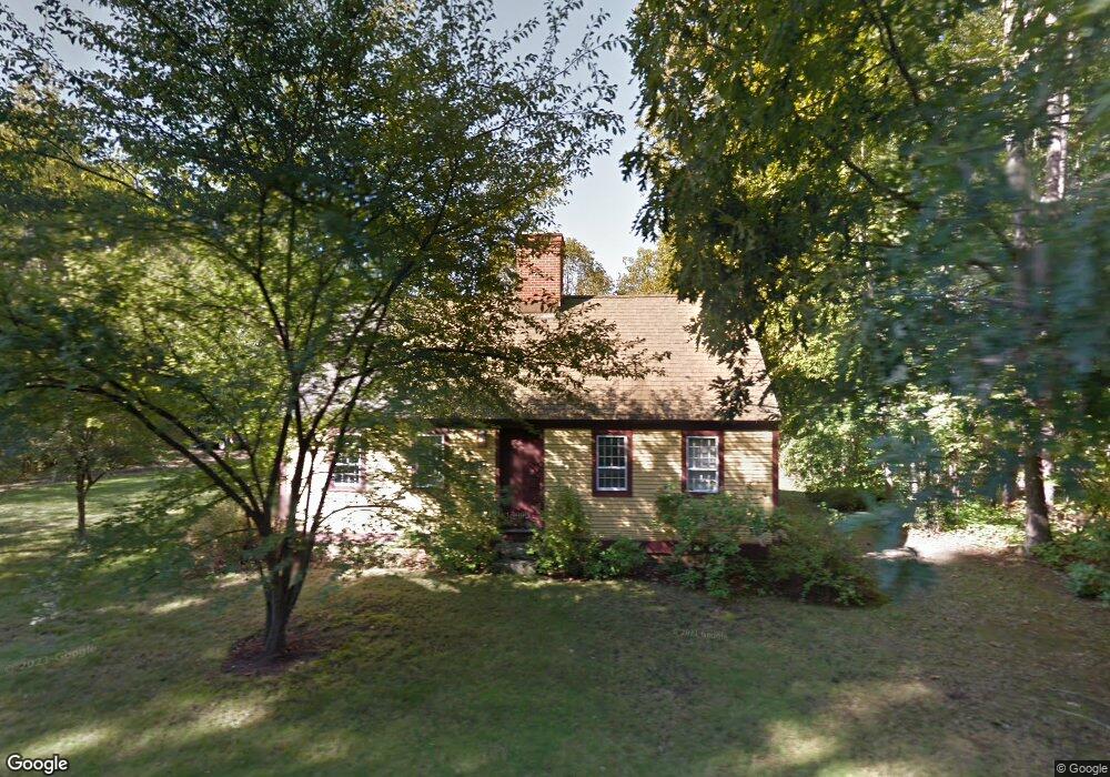
635 River Rd Eliot, ME 03903
South Eliot NeighborhoodEstimated Value: $463,332 - $570,000
3
Beds
2
Baths
1,364
Sq Ft
$380/Sq Ft
Est. Value
About This Home
This home is located at 635 River Rd, Eliot, ME 03903 and is currently estimated at $517,833, approximately $379 per square foot. 635 River Rd is a home located in York County with nearby schools including Marshwood High School and Seacoast Waldorf School.
Create a Home Valuation Report for This Property
The Home Valuation Report is an in-depth analysis detailing your home's value as well as a comparison with similar homes in the area
Home Values in the Area
Average Home Value in this Area
Tax History
| Year | Tax Paid | Tax Assessment Tax Assessment Total Assessment is a certain percentage of the fair market value that is determined by local assessors to be the total taxable value of land and additions on the property. | Land | Improvement |
|---|---|---|---|---|
| 2024 | $3,664 | $309,200 | $134,500 | $174,700 |
| 2023 | $3,550 | $289,800 | $128,400 | $161,400 |
| 2022 | $3,427 | $283,200 | $128,400 | $154,800 |
| 2021 | $3,615 | $267,800 | $118,300 | $149,500 |
| 2020 | $3,728 | $253,600 | $113,200 | $140,400 |
| 2019 | $3,728 | $253,600 | $113,200 | $140,400 |
| 2018 | $3,728 | $253,600 | $113,200 | $140,400 |
| 2017 | $3,626 | $253,600 | $113,200 | $140,400 |
| 2016 | $3,423 | $243,600 | $113,200 | $130,400 |
| 2015 | $3,410 | $243,600 | $113,200 | $130,400 |
| 2014 | $3,362 | $243,600 | $113,200 | $130,400 |
| 2013 | $3,208 | $243,600 | $113,200 | $130,400 |
Source: Public Records
Map
Nearby Homes
- 220 Dover Point Rd
- 11 Ayers Ln
- 25 Fosters Dr
- Slip B18 Little Bay
- 21 Clearwater Dr
- 18 Deborah Ln
- 41 Clearwater Dr
- 0 Cote Dr Unit 55B
- 348 Dover Point Rd
- 354 Dover Point Rd
- 65 Polly Ann Trailer Park
- 69 Polly Ann Trailer Park
- 25 Heritage Dr
- 28 Little Bay Dr
- 33 Little Bay Dr
- 13 Little Bay Dr
- 18 Little Bay Dr
- 30 Cedar Point Rd
- 6 Isaac Lucas Cir
- 16 Polly Ann Park
Your Personal Tour Guide
Ask me questions while you tour the home.