635 Sand Dollar Dr Unit 635 Port Isabel, TX 78578
Estimated Value: $376,036 - $427,000
2
Beds
2
Baths
925
Sq Ft
$426/Sq Ft
Est. Value
About This Home
This home is located at 635 Sand Dollar Dr Unit 635, Port Isabel, TX 78578 and is currently estimated at $394,509, approximately $426 per square foot. 635 Sand Dollar Dr Unit 635 is a home located in Cameron County with nearby schools including Garriga Elementary School, Derry Elementary School, and Port Isabel Junior High School.
Ownership History
Date
Name
Owned For
Owner Type
Purchase Details
Closed on
Dec 22, 2016
Sold by
Vasquez Edward G
Bought by
Neely John R
Current Estimated Value
Home Financials for this Owner
Home Financials are based on the most recent Mortgage that was taken out on this home.
Original Mortgage
$150,000
Outstanding Balance
$72,335
Interest Rate
3.57%
Mortgage Type
New Conventional
Estimated Equity
$322,174
Purchase Details
Closed on
Aug 10, 2012
Sold by
Escobedo Victor M and Escobedo Olga
Bought by
Vasquez Edward G
Purchase Details
Closed on
Jun 9, 2009
Sold by
Escobedo Victor
Bought by
Escobedo Victor M and Escobedo Olga
Create a Home Valuation Report for This Property
The Home Valuation Report is an in-depth analysis detailing your home's value as well as a comparison with similar homes in the area
Home Values in the Area
Average Home Value in this Area
Purchase History
| Date | Buyer | Sale Price | Title Company |
|---|---|---|---|
| Neely John R | -- | Sierra Title Co | |
| Vasquez Edward G | -- | None Available | |
| Escobedo Victor M | -- | None Available |
Source: Public Records
Mortgage History
| Date | Status | Borrower | Loan Amount |
|---|---|---|---|
| Open | Neely John R | $150,000 |
Source: Public Records
Tax History Compared to Growth
Tax History
| Year | Tax Paid | Tax Assessment Tax Assessment Total Assessment is a certain percentage of the fair market value that is determined by local assessors to be the total taxable value of land and additions on the property. | Land | Improvement |
|---|---|---|---|---|
| 2025 | $4,320 | $341,535 | -- | -- |
| 2024 | $4,320 | $310,486 | -- | -- |
| 2023 | $5,981 | $282,260 | $0 | $0 |
| 2022 | $4,333 | $256,600 | $102,770 | $153,830 |
| 2021 | $4,240 | $236,998 | $81,670 | $155,328 |
| 2020 | $4,296 | $238,498 | $81,670 | $156,828 |
| 2019 | $4,367 | $237,499 | $79,170 | $158,329 |
| 2018 | $4,374 | $237,499 | $79,170 | $158,329 |
| 2017 | $3,761 | $204,552 | $79,170 | $125,382 |
| 2016 | $3,587 | $195,103 | $79,170 | $115,933 |
| 2015 | $3,618 | $196,229 | $79,170 | $117,059 |
Source: Public Records
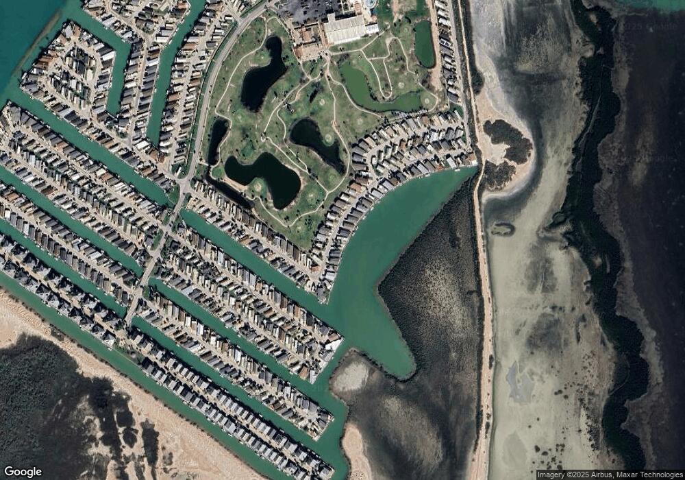
Map
Nearby Homes
- 572 Sand Dollar Dr
- 575 Sand Dollar Dr
- 577 Sand Dollar Dr
- 626 Sand Dollar Dr
- 682 E Clam Cir
- 612 Sand Dollar Dr
- 695 E Clam Cir Unit 695
- 708 E Clam Cir Unit 708
- 658 Sand Dollar Dr
- 554 Sand Dollar Dr Unit 554
- 735 E Clam Cir Unit 735
- 751 E Clam Cir
- 728 E Clam Cir
- 669 E Clam Cir
- 594 Star Fish Dr
- 759 E Clam Cir
- 712 E Clam Cir
- 783 E Oyster Dr
- 775 E Oyster Dr
- 784 E Oyster Dr
- 635 Sand Dollar Dr
- 634 Sand Dollar Dr Unit 634
- 637 Sand Dollar Dr
- 633 Sand Dollar Dr Unit 633
- 643 Sand Dollar Dr
- 636 Sand Dollar Dr
- 573 Sand Dollar Dr
- 638 Sand Dollar Dr
- 638 Sand Dollar Dr Unit 638
- 574 Sand Dollar Dr
- 571 Sand Dollar Dr
- 631 Sand Dollar Dr
- 639 Sand Dollar Dr
- 576 Sand Dollar Dr
- 569 Sand Dollar Dr Unit 569
- 578 Sand Dollar Dr
- 630-B Sand Dollar Dr
- 640 Sand Dollar Dr
- 630 Sand Dollar Dr Unit A
- 630 Sand Dollar Dr