635 Sea Acres Rd Olga, WA 98279
Estimated Value: $1,324,000 - $2,383,007
3
Beds
3
Baths
1,584
Sq Ft
$1,101/Sq Ft
Est. Value
About This Home
This home is located at 635 Sea Acres Rd, Olga, WA 98279 and is currently estimated at $1,744,002, approximately $1,101 per square foot. 635 Sea Acres Rd is a home with nearby schools including Orcas Island Elementary School, Orcas Island Middle School, and Orcas Island High School.
Ownership History
Date
Name
Owned For
Owner Type
Purchase Details
Closed on
Oct 23, 2017
Sold by
Durand James M and Durand Marc D
Bought by
Durand James M and Durand Debora E
Current Estimated Value
Home Financials for this Owner
Home Financials are based on the most recent Mortgage that was taken out on this home.
Original Mortgage
$400,000
Outstanding Balance
$337,471
Interest Rate
3.83%
Mortgage Type
New Conventional
Estimated Equity
$1,406,531
Purchase Details
Closed on
Dec 23, 2004
Sold by
Durand David C and Durand Sandra K
Bought by
Durand James M and Durand Marc D
Create a Home Valuation Report for This Property
The Home Valuation Report is an in-depth analysis detailing your home's value as well as a comparison with similar homes in the area
Home Values in the Area
Average Home Value in this Area
Purchase History
| Date | Buyer | Sale Price | Title Company |
|---|---|---|---|
| Durand James M | $274,820 | San Juan Title | |
| Durand James M | -- | None Available |
Source: Public Records
Mortgage History
| Date | Status | Borrower | Loan Amount |
|---|---|---|---|
| Open | Durand James M | $400,000 |
Source: Public Records
Tax History Compared to Growth
Tax History
| Year | Tax Paid | Tax Assessment Tax Assessment Total Assessment is a certain percentage of the fair market value that is determined by local assessors to be the total taxable value of land and additions on the property. | Land | Improvement |
|---|---|---|---|---|
| 2024 | $10,184 | $2,029,930 | $827,700 | $1,202,230 |
| 2023 | $10,184 | $1,904,630 | $689,750 | $1,214,880 |
| 2022 | $8,355 | $1,791,220 | $689,890 | $1,101,330 |
| 2021 | $7,592 | $1,131,500 | $574,910 | $556,590 |
| 2020 | $7,822 | $982,340 | $574,910 | $407,430 |
| 2019 | $5,122 | $986,500 | $574,910 | $411,590 |
| 2018 | $3,680 | $818,480 | $638,740 | $179,740 |
| 2017 | $3,500 | $458,970 | $458,970 | $0 |
| 2016 | $3,556 | $481,910 | $481,910 | $0 |
| 2015 | $3,556 | $481,910 | $481,910 | $0 |
| 2014 | $3,556 | $438,100 | $438,100 | $0 |
| 2012 | $3,556 | $486,590 | $486,590 | $0 |
Source: Public Records
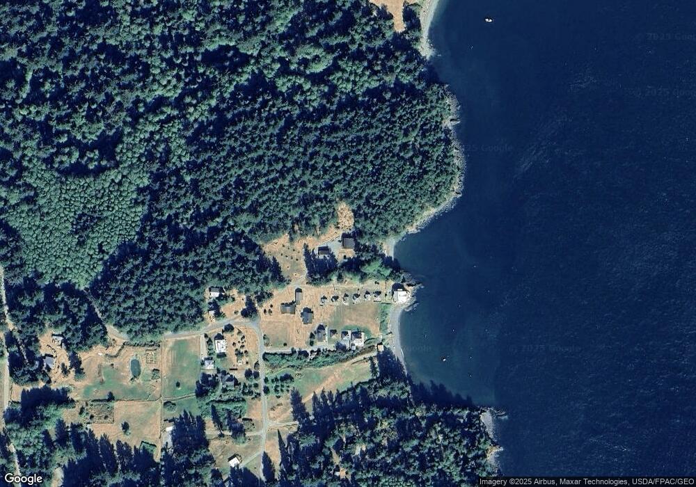
Map
Nearby Homes
- 0 000 Upper Cow Hill Rd
- 557 Old Sentinel Rd
- 155 Dragonfly Dr
- 61 Sunrise Bluff Ln
- 359 Georgia Strait Ln
- 91 Coastline Dr
- 0 Coastline Dr Unit NWM2077642
- 41 Raven Ln
- 245 Roehls Hill Rd
- 808 Pioneer Hill Rd
- 0 Lot B Pioneer Hill Rd
- 33 Barnacle Ln
- 202 Avilion Place
- 217 Roberts Point Trail
- 1052 Vusario Ln
- 0 Lot 27 Peavine Way
- 0 Lot 26 Peavine Way
- 104 Barn Owl Trail
- 1424 Palisades Dr
- 63 Marina Heights Ln
- 680 Sea Acres Rd
- 694 Sea Acres Rd
- 640 Sea Acres Rd
- 57 Saltspray Ln
- 49 Saltspray Ln
- 65 Saltspray Ln
- 63 Saltspray Ln
- 569 Sea Acres Rd
- 556 Sea Acres Rd
- 141 Sea Cliff Trail
- 241 Sea Cliff Trail
- 119 Spotted Deer Ln
- 105 Spotted Deer Ln
- 60 Sea Cliff Trail
- 60 Seacliff Trail
- 85 Spotted Deer Ln
- 85 Spotted Deer Ln
- 29 Spotted Deer Ln
- 34 Spotted Deer Ln
- 12 Spotted Deer Ln