635 Sheridan Dr Roscommon, MI 48653
Estimated Value: $741,000 - $1,084,000
--
Bed
--
Bath
1,920
Sq Ft
$468/Sq Ft
Est. Value
About This Home
This home is located at 635 Sheridan Dr, Roscommon, MI 48653 and is currently estimated at $898,052, approximately $467 per square foot. 635 Sheridan Dr is a home with nearby schools including Roscommon Elementary School, Roscommon Middle School, and Roscommon High School.
Ownership History
Date
Name
Owned For
Owner Type
Purchase Details
Closed on
Aug 26, 2015
Sold by
Scott Robert Alan Jr &Linda J Trust
Bought by
Scott Robert Alan and Scott Linda Joyce
Current Estimated Value
Purchase Details
Closed on
Oct 30, 2008
Sold by
Scott Robert Alan and Scott Linda
Bought by
Scott Robert A and Scott Linda J
Home Financials for this Owner
Home Financials are based on the most recent Mortgage that was taken out on this home.
Original Mortgage
$328,000
Interest Rate
6.48%
Mortgage Type
New Conventional
Create a Home Valuation Report for This Property
The Home Valuation Report is an in-depth analysis detailing your home's value as well as a comparison with similar homes in the area
Home Values in the Area
Average Home Value in this Area
Purchase History
| Date | Buyer | Sale Price | Title Company |
|---|---|---|---|
| Scott Robert Alan | -- | -- | |
| Scott Robert A | -- | Title Connect Llc |
Source: Public Records
Mortgage History
| Date | Status | Borrower | Loan Amount |
|---|---|---|---|
| Previous Owner | Scott Robert A | $328,000 |
Source: Public Records
Tax History Compared to Growth
Tax History
| Year | Tax Paid | Tax Assessment Tax Assessment Total Assessment is a certain percentage of the fair market value that is determined by local assessors to be the total taxable value of land and additions on the property. | Land | Improvement |
|---|---|---|---|---|
| 2025 | $6,644 | $517,000 | $0 | $0 |
| 2024 | $6,213 | $392,700 | $0 | $0 |
| 2023 | $2,555 | $392,700 | $0 | $0 |
| 2022 | $5,926 | $257,400 | $0 | $0 |
| 2021 | $5,654 | $244,300 | $0 | $0 |
| 2020 | $5,507 | $240,000 | $0 | $0 |
| 2019 | $5,249 | $238,600 | $0 | $0 |
| 2018 | $5,179 | $233,700 | $0 | $0 |
| 2016 | $4,891 | $224,500 | $0 | $0 |
| 2015 | -- | $222,600 | $0 | $0 |
Source: Public Records
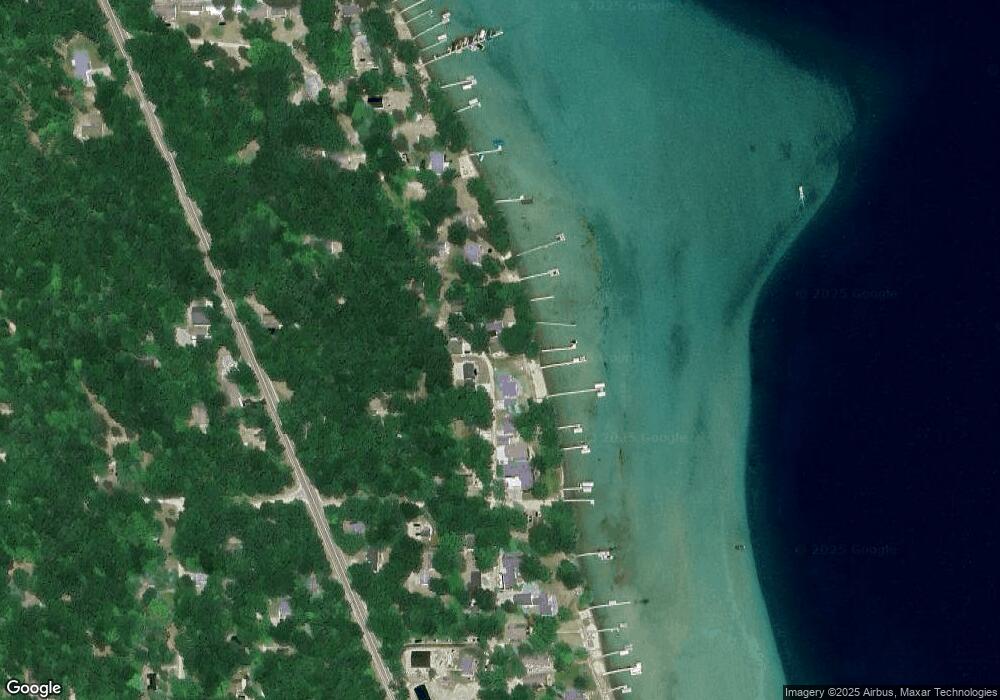
Map
Nearby Homes
- 2744 W Higgins Lake Dr
- Lots 10-15 Adams Roosevelt
- Lots 1-8 Adams Roosevelt
- 522 Garfield Blvd
- 237 Quail Blvd
- 205 Jackson Blvd
- 215 Garfield Blvd
- 0 Garfield Blvd Unit 20250006241
- 1779 W Higgins Lake Dr
- 115 Holly Ln
- 119 Ethel Dr
- 8778 N Townline Rd
- 250 Mink Dr
- 4628 W Marl Lake Rd
- 140 Dayton St
- 311 Robbins Ave
- 301 Boucher St
- 5740 N Reserve Rd
- 129 Cleveland St
- 7889 Hillcrest Rd
- 603 Sheridan Dr
- 619 Sheridan Dr
- 641 Sheridan Dr
- 639 Sheridan Dr
- 649 Sheridan Dr
- 609 Sheridan Dr
- 625 Sheridan Dr
- 101 Saint Lawrence Ave
- 404 Jefferson
- 528 Jefferson Blvd
- 522 Quail Blvd
- 321 Quail Blvd
- 516 Jefferson Blvd
- 123 Madison
- 531 Jefferson Blvd
- 2470 W Higgins Lake Dr
- 503 Sheridan Dr
- 2488 W Higgins Lake Dr
- 115 & 116 W Higgins Lake Dr
- 208 Muskegon Ave