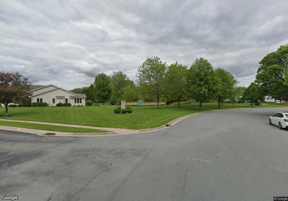
635 Springbrook Cir Deforest, WI 53532
Estimated Value: $374,000 - $427,000
--
Bed
--
Bath
--
Sq Ft
--
Built
About This Home
This home is located at 635 Springbrook Cir, Deforest, WI 53532 and is currently estimated at $400,506. 635 Springbrook Cir is a home with nearby schools including Yahara Elementary School, DeForest Middle School, and DeForest High School.
Ownership History
Date
Name
Owned For
Owner Type
Purchase Details
Closed on
Jan 16, 2025
Sold by
Kelso Timothy L
Bought by
Timothy L Kelso Revocable Trust and Kelso
Current Estimated Value
Purchase Details
Closed on
Dec 3, 2024
Sold by
Kelso Terri L
Bought by
Kelso Timothy L
Purchase Details
Closed on
Jun 5, 2017
Sold by
Kelso Hugh B and Kelso Virginia M
Bought by
Kelso Hugh B
Create a Home Valuation Report for This Property
The Home Valuation Report is an in-depth analysis detailing your home's value as well as a comparison with similar homes in the area
Home Values in the Area
Average Home Value in this Area
Purchase History
| Date | Buyer | Sale Price | Title Company |
|---|---|---|---|
| Timothy L Kelso Revocable Trust | -- | None Listed On Document | |
| Kelso Timothy L | -- | None Listed On Document | |
| Kelso Timothy L | -- | None Listed On Document | |
| Kelso Hugh B | -- | None Available |
Source: Public Records
Tax History
| Year | Tax Paid | Tax Assessment Tax Assessment Total Assessment is a certain percentage of the fair market value that is determined by local assessors to be the total taxable value of land and additions on the property. | Land | Improvement |
|---|---|---|---|---|
| 2024 | $5,618 | $357,200 | $50,000 | $307,200 |
| 2023 | $5,404 | $327,900 | $45,000 | $282,900 |
| 2022 | $5,243 | $306,500 | $35,000 | $271,500 |
| 2021 | $5,429 | $281,700 | $35,000 | $246,700 |
| 2020 | $5,254 | $258,300 | $35,000 | $223,300 |
| 2019 | $4,978 | $248,600 | $35,000 | $213,600 |
| 2018 | $4,174 | $210,600 | $35,000 | $175,600 |
| 2017 | $4,030 | $210,600 | $35,000 | $175,600 |
| 2016 | $4,053 | $210,600 | $35,000 | $175,600 |
| 2015 | $3,970 | $192,000 | $35,000 | $157,000 |
| 2014 | $3,894 | $192,000 | $35,000 | $157,000 |
| 2013 | $4,068 | $192,000 | $35,000 | $157,000 |
Source: Public Records
Map
Nearby Homes
- 400 Old Indian Trail
- 620 Acker Pkwy
- 127 Carriage Way Unit C13
- 332 Harvard Dr
- 392 Campbell Hill Ct
- 520 E Holum St
- 115 E Elm St
- 4325 Hawk Trail
- 400 Market St
- 612 Park Ave
- 503 Island Dr
- Lot 7 & 8 Johnson St
- 33.5 Ac River Rd
- L1 Liuna Way
- 4041 Bear Tree Pkwy
- 7417 Dekorra Rd
- 4615 Bellflower Dr
- 809 Southbound Dr
- 7786 Bluestem Trail
- 916 Liberty Dr
- 633 Springbrook Cir
- 637 Springbrook Cir
- 631 Springbrook Cir
- 639 Springbrook Cir
- 629 Springbrook Cir
- 641 Springbrook Cir Unit 39
- 641 Springbrook Cir
- 627 Springbrook Cir
- 620 Springbrook Cir
- 622 Springbrook Cir Unit 43
- 622 Springbrook Cir
- 643 Springbrook Cir Unit 40
- 624 Springbrook Cir Unit 44
- 625 Springbrook Cir
- 645 Springbrook Cir
- 618 Springbrook Cir Unit 31
- 618 Springbrook Cir
- 616 Springbrook Cir
- 623 Springbrook Cir
- 614 Springbrook Cir
