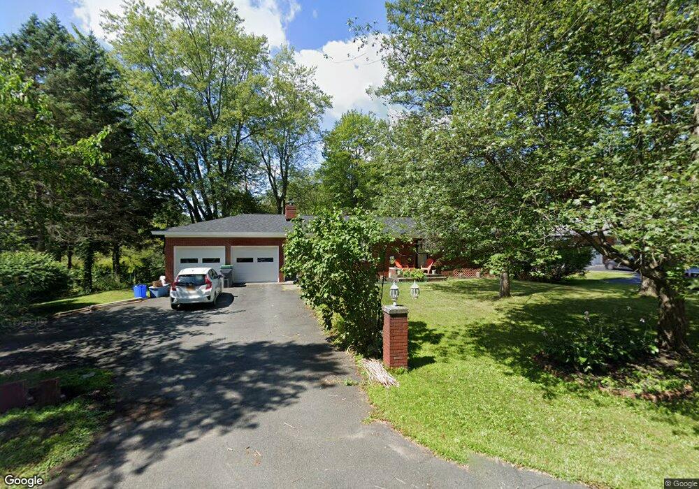
635 St Davids Ln Schenectady, NY 12309
Estimated Value: $326,647 - $370,000
3
Beds
2
Baths
1,278
Sq Ft
$268/Sq Ft
Est. Value
About This Home
This home is located at 635 St Davids Ln, Schenectady, NY 12309 and is currently estimated at $342,662, approximately $268 per square foot. 635 St Davids Ln is a home located in Schenectady County with nearby schools including Veeder Elementary School, Lisha Kill Middle School, and Waverly Elementary School.
Ownership History
Date
Name
Owned For
Owner Type
Purchase Details
Closed on
Jun 27, 2008
Sold by
Gannon Maura
Bought by
Newhard Theodore
Current Estimated Value
Home Financials for this Owner
Home Financials are based on the most recent Mortgage that was taken out on this home.
Original Mortgage
$186,105
Outstanding Balance
$120,427
Interest Rate
6.13%
Mortgage Type
New Conventional
Estimated Equity
$222,235
Purchase Details
Closed on
Jan 7, 2003
Sold by
Weatherbee Adria
Bought by
Gannon Maura
Create a Home Valuation Report for This Property
The Home Valuation Report is an in-depth analysis detailing your home's value as well as a comparison with similar homes in the area
Home Values in the Area
Average Home Value in this Area
Purchase History
| Date | Buyer | Sale Price | Title Company |
|---|---|---|---|
| Newhard Theodore | $195,900 | -- | |
| Gannon Maura | $100,000 | Debra Lambek |
Source: Public Records
Mortgage History
| Date | Status | Borrower | Loan Amount |
|---|---|---|---|
| Open | Newhard Theodore | $186,105 |
Source: Public Records
Tax History Compared to Growth
Tax History
| Year | Tax Paid | Tax Assessment Tax Assessment Total Assessment is a certain percentage of the fair market value that is determined by local assessors to be the total taxable value of land and additions on the property. | Land | Improvement |
|---|---|---|---|---|
| 2024 | $6,555 | $185,000 | $37,400 | $147,600 |
| 2023 | $6,688 | $185,000 | $37,400 | $147,600 |
| 2022 | $6,292 | $185,000 | $37,400 | $147,600 |
| 2021 | $6,420 | $185,000 | $37,400 | $147,600 |
| 2020 | $5,206 | $185,000 | $37,400 | $147,600 |
| 2019 | $2,646 | $185,000 | $37,400 | $147,600 |
| 2018 | $5,281 | $185,000 | $37,400 | $147,600 |
| 2017 | $5,397 | $185,000 | $37,400 | $147,600 |
| 2016 | $5,456 | $185,000 | $37,400 | $147,600 |
| 2015 | -- | $185,000 | $37,400 | $147,600 |
| 2014 | -- | $185,000 | $37,400 | $147,600 |
Source: Public Records
Map
Nearby Homes
- 630 St Davids Ln
- 16 Warwick Way
- 691 St Marks Ln
- 1143 Clute Crest Dr
- 694 St Marks Ln
- 859 Hereford Way
- 4110 Consaul Rd
- 756 Hampshire Seat
- 2449 Westminster Way
- 612 Lois Ln
- 362 Ferris Rd
- 2482 Troy Schenectady Rd
- 1 Laurel Ln
- 3613 Becker St
- 871 Maxwell Dr
- 841 Red Oak Dr
- 3944 Becker St
- 79 Starr Ave
- 28 Fullerton Ave
- 44 Shepard Ave
- 631 St Davids Ln
- 639 St Davids Ln
- 611 St Davids Ln
- 630 St Davids La
- 643 St Davids Ln
- 636 St Davids Ln
- 640 St Davids Ln
- 616 St Davids Ln
- 597 St Davids La
- 597 St Davids Ln
- 608 Saint David's Ln
- 608 St Davids Ln
- 805 Westmoreland Dr
- 809 Westmoreland Dr
- 656 St Davids Ln
- 801 Westmoreland Dr
- 822 Worcester Dr
- 797 Westmoreland Dr
- 600 St Davids Ln
- 657 St Davids Ln