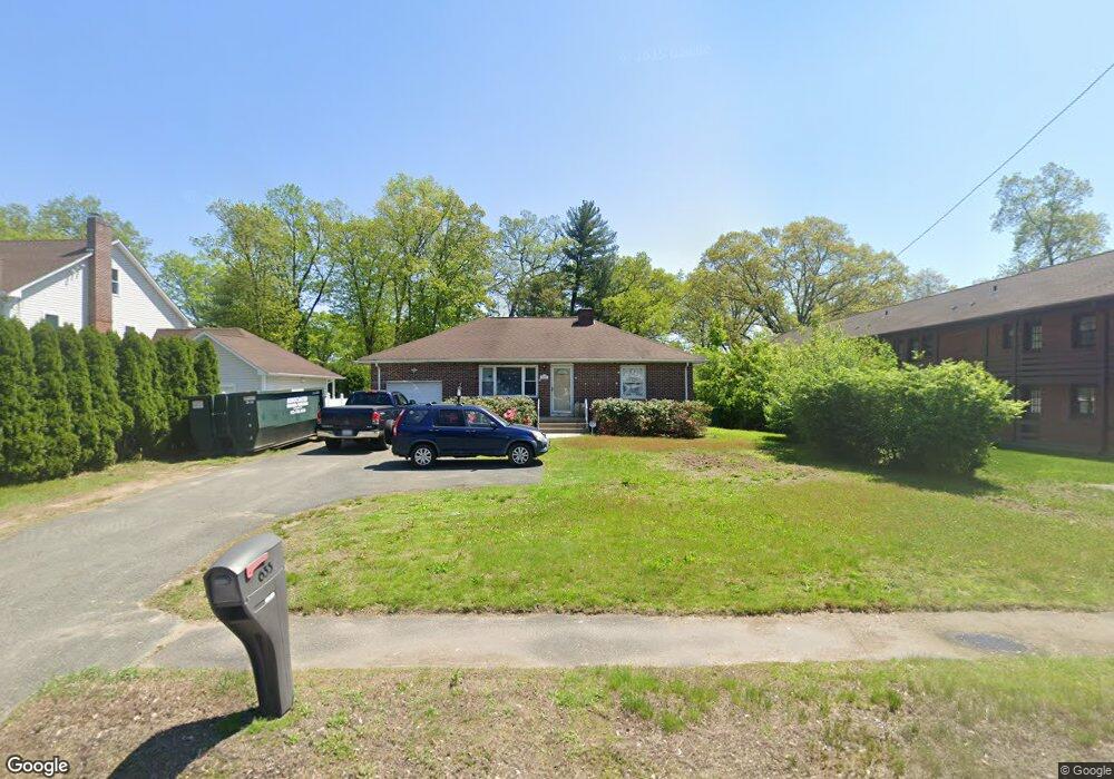
635 Suffield St Agawam, MA 01001
Estimated Value: $311,000 - $330,000
2
Beds
2
Baths
1,076
Sq Ft
$298/Sq Ft
Est. Value
About This Home
This home is located at 635 Suffield St, Agawam, MA 01001 and is currently estimated at $320,501, approximately $297 per square foot. 635 Suffield St is a home located in Hampden County with nearby schools including Agawam Junior High School and Agawam High School.
Ownership History
Date
Name
Owned For
Owner Type
Purchase Details
Closed on
Nov 8, 2021
Sold by
Shepard Robert T and Shepard Erin M
Bought by
Shepard Robert T and Shepard Erin M
Current Estimated Value
Purchase Details
Closed on
Jan 9, 2015
Sold by
Shepard Mary
Bought by
Shepard Robert T and Shepard Erin M
Home Financials for this Owner
Home Financials are based on the most recent Mortgage that was taken out on this home.
Original Mortgage
$112,000
Interest Rate
3.99%
Mortgage Type
New Conventional
Create a Home Valuation Report for This Property
The Home Valuation Report is an in-depth analysis detailing your home's value as well as a comparison with similar homes in the area
Home Values in the Area
Average Home Value in this Area
Purchase History
| Date | Buyer | Sale Price | Title Company |
|---|---|---|---|
| Shepard Robert T | -- | None Available | |
| Shepard Robert T | $140,000 | -- |
Source: Public Records
Mortgage History
| Date | Status | Borrower | Loan Amount |
|---|---|---|---|
| Previous Owner | Shepard Robert T | $112,000 |
Source: Public Records
Tax History Compared to Growth
Tax History
| Year | Tax Paid | Tax Assessment Tax Assessment Total Assessment is a certain percentage of the fair market value that is determined by local assessors to be the total taxable value of land and additions on the property. | Land | Improvement |
|---|---|---|---|---|
| 2025 | $3,782 | $258,300 | $113,900 | $144,400 |
| 2024 | $3,682 | $253,200 | $113,900 | $139,300 |
| 2023 | $3,426 | $217,100 | $102,400 | $114,700 |
| 2022 | $3,314 | $205,700 | $102,400 | $103,300 |
| 2021 | $3,162 | $188,200 | $88,400 | $99,800 |
| 2020 | $3,093 | $183,800 | $86,900 | $96,900 |
| 2019 | $2,995 | $179,900 | $85,000 | $94,900 |
| 2018 | $2,820 | $169,800 | $80,500 | $89,300 |
| 2017 | $2,693 | $165,100 | $80,600 | $84,500 |
| 2016 | $2,642 | $163,300 | $80,600 | $82,700 |
| 2015 | $2,509 | $159,400 | $80,600 | $78,800 |
Source: Public Records
Map
Nearby Homes
- 6 Mansion Woods Dr Unit A
- 20 Mansion Woods Dr Unit H
- 0 Silver St
- 1 Castle Hill Rd Unit D
- 4 H Castle Hills Rd Unit H
- 42 Lakeview Cir
- 4H Mapleviewlane Unit 4H
- 25 Castle Hill Rd Unit E
- 712 Cooper St
- 14 Greenacre Ln
- 354 Rowley St
- 869-871 Main St
- 441 Silver St
- 969 Main St
- 60 Edward St
- 11 Stanley Place
- 15 Bailey St
- 420 Main St Unit 71
- 121 Reed St
- 209 Pineview Cir
- 629 Suffield St
- 0 Aspenwood Ln Unit 72297298
- 1 Aspenwood Ln
- 621 Suffield St
- 48 Mill St
- 25 Poinsetta St
- 17 Poinsetta St
- 615 Suffield St
- 636 Suffield St
- 40 Mill St
- 624 Suffield St
- 630 Suffield St
- 31 Poinsetta St
- 611 Suffield St
- 9 Poinsetta St
- 616 Suffield St
- 59 Mill St
- 33 Poinsetta St
- 43 Mill St
- 603 Suffield St