Estimated Value: $635,403
--
Bed
--
Bath
396
Sq Ft
$1,605/Sq Ft
Est. Value
About This Home
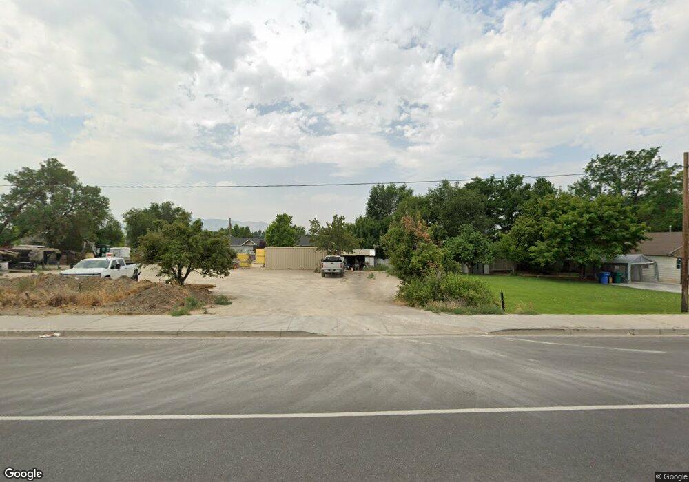
This home is located at 635 W State Rd, Lehi, UT 84043 and is currently estimated at $635,403, approximately $1,604 per square foot. 635 W State Rd is a home located in Utah County with nearby schools including Lehi Elementary School, Lehi Junior High School, and Lehi High School.
Ownership History
Date
Name
Owned For
Owner Type
Purchase Details
Closed on
Feb 17, 2022
Sold by
Richard Seal
Bought by
Tronson Brad
Current Estimated Value
Purchase Details
Closed on
Oct 16, 2019
Sold by
Thomas Edwin L and Rigby Susan T
Bought by
Seal Richard and Seal Julie
Purchase Details
Closed on
Dec 10, 2018
Sold by
Thomas Jeffrey E and Thomas Edwin L
Bought by
Thomas Edwin L and Rigby Susan T
Create a Home Valuation Report for This Property
The Home Valuation Report is an in-depth analysis detailing your home's value as well as a comparison with similar homes in the area
Home Values in the Area
Average Home Value in this Area
Purchase History
| Date | Buyer | Sale Price | Title Company |
|---|---|---|---|
| Tronson Brad | -- | Oasis Title | |
| Seal Richard | -- | Gt Title Services | |
| Thomas Edwin L | -- | United West Title Ins |
Source: Public Records
Tax History Compared to Growth
Tax History
| Year | Tax Paid | Tax Assessment Tax Assessment Total Assessment is a certain percentage of the fair market value that is determined by local assessors to be the total taxable value of land and additions on the property. | Land | Improvement |
|---|---|---|---|---|
| 2025 | $4,017 | $519,200 | $510,600 | $8,600 |
| 2024 | $4,017 | $470,100 | $0 | $0 |
| 2023 | $3,649 | $463,600 | $0 | $0 |
| 2022 | $3,364 | $414,400 | $406,600 | $7,800 |
| 2021 | $3,471 | $355,500 | $353,500 | $2,000 |
| 2020 | $3,553 | $359,700 | $353,500 | $6,200 |
| 2019 | $3,282 | $345,400 | $339,200 | $6,200 |
| 2018 | $2,315 | $230,300 | $226,200 | $4,100 |
Source: Public Records
Map
Nearby Homes
- 902 W 1500 N
- 1301 N 900 W Unit 12
- 1817 W Bad Rock Cir
- 1094 W 1425 N
- 1610 N 1125 W
- 1755 N 250 W
- 1011 W Mountain Way Unit 316
- 1150 N 200 W Unit 6
- 996 N 200 W
- 1249 W 1800 N
- 443 W 820 N
- 155 W State St Unit TRLR 3
- 1332 W 1500 N
- 1272 W 1800 N
- 1329 N 100 E Unit 21
- 1132 Titan Dr
- 68 W State St
- 1032 Titan Dr
- 578 N Woods Dr
- 1295 N 190 E
- 635 W State N
- 645 W State St
- 1418 N 700 W
- 702 W 1425 N
- 702 Foxborough Dr
- 665 W State St
- 709 W Pine Dr
- 1406 N Fox Borough Dr
- 1406 N Fox Borough Dr
- 1406 N 700 W
- 620 W State St
- 620 W State St
- 690 W State Rd Unit 210
- 702 W Woodrun Way Unit 216
- 640 W State St
- 640 W State St
- 300 W 1500 N
- 728 W Summit Way
- 801 W 1500 N
- 720 Foxborough Dr