Estimated Value: $210,000 - $286,000
2
Beds
1
Bath
1,429
Sq Ft
$164/Sq Ft
Est. Value
About This Home
This home is located at 635 Yorkshire St, Salem, VA 24153 and is currently estimated at $234,578, approximately $164 per square foot. 635 Yorkshire St is a home located in Salem City with nearby schools including East Salem Elementary School, Andrew Lewis Middle School, and Salem High School.
Ownership History
Date
Name
Owned For
Owner Type
Purchase Details
Closed on
Aug 15, 2006
Sold by
Doubles Malcolm Mcleod and Mcknight Elsie M
Bought by
Conner Bonnie B
Current Estimated Value
Home Financials for this Owner
Home Financials are based on the most recent Mortgage that was taken out on this home.
Original Mortgage
$114,000
Outstanding Balance
$68,535
Interest Rate
6.88%
Mortgage Type
New Conventional
Estimated Equity
$166,043
Create a Home Valuation Report for This Property
The Home Valuation Report is an in-depth analysis detailing your home's value as well as a comparison with similar homes in the area
Home Values in the Area
Average Home Value in this Area
Purchase History
| Date | Buyer | Sale Price | Title Company |
|---|---|---|---|
| Conner Bonnie B | -- | None Available |
Source: Public Records
Mortgage History
| Date | Status | Borrower | Loan Amount |
|---|---|---|---|
| Open | Conner Bonnie B | $114,000 |
Source: Public Records
Tax History Compared to Growth
Tax History
| Year | Tax Paid | Tax Assessment Tax Assessment Total Assessment is a certain percentage of the fair market value that is determined by local assessors to be the total taxable value of land and additions on the property. | Land | Improvement |
|---|---|---|---|---|
| 2025 | $867 | $146,900 | $40,000 | $106,900 |
| 2024 | $818 | $136,300 | $38,300 | $98,000 |
| 2023 | $1,481 | $123,400 | $35,300 | $88,100 |
| 2022 | $1,368 | $114,000 | $30,600 | $83,400 |
| 2021 | $1,327 | $110,600 | $29,100 | $81,500 |
| 2020 | $1,285 | $107,100 | $29,100 | $78,000 |
| 2019 | $1,248 | $104,000 | $29,100 | $74,900 |
| 2018 | $1,214 | $102,900 | $29,100 | $73,800 |
| 2017 | $1,296 | $109,800 | $29,100 | $80,700 |
| 2016 | $1,296 | $109,800 | $29,100 | $80,700 |
| 2015 | $1,267 | $107,400 | $30,000 | $77,400 |
| 2014 | $1,267 | $107,400 | $30,000 | $77,400 |
Source: Public Records
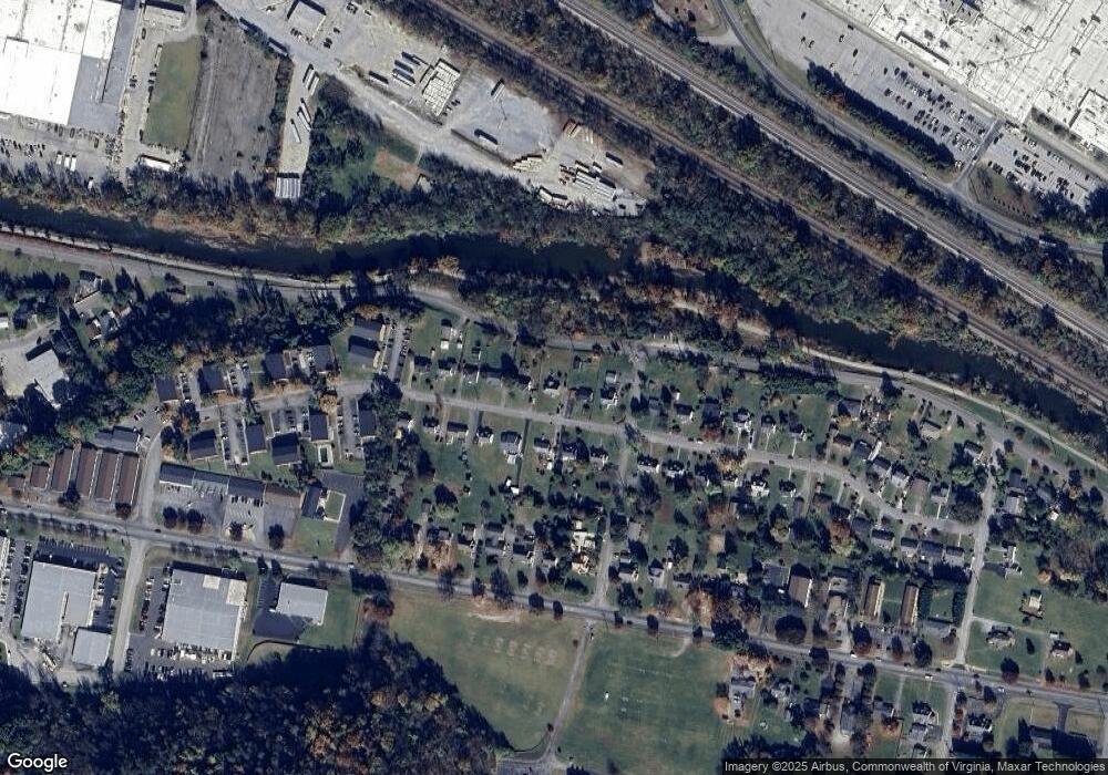
Map
Nearby Homes
- 1410 Orchard Dr
- 303 Riverland Dr
- 23 Upland Dr
- 402 E 7th St
- 1002 Roanoke Blvd
- 938 Roanoke Blvd
- The Nantucket Plan at Simms Farm
- The Beechwood Plan at Simms Farm
- The Hemlock Plan at Simms Farm
- The Magnolia Plan at Simms Farm
- The Madison Plan at Simms Farm
- The Avery Plan at Simms Farm
- The Williamsburg Plan at Simms Farm
- The Ashton Plan at Simms Farm
- The Margate Plan at Simms Farm
- The Georgetown Plan at Simms Farm
- The Jefferson Plan at Simms Farm
- The Washington Plan at Simms Farm
- The Lexington B Plan at Simms Farm
- 1647 Margaret Ln
- 641 Yorkshire St
- 629 Yorkshire St
- 623 Yorkshire St
- 645 Yorkshire St
- 615 Yorkshire St
- 634 Yorkshire St
- 600 E Riverside Dr
- 640 Yorkshire St
- 628 Yorkshire St
- 620 Yorkshire St
- 646 Yorkshire St
- 703 Yorkshire St
- 609 Yorkshire St
- 703 E Riverside Dr
- 614 Yorkshire St
- 707 Yorkshire St
- 603 Yorkshire St
- 702 Yorkshire St
- 608 Yorkshire St
- 706 Yorkshire St