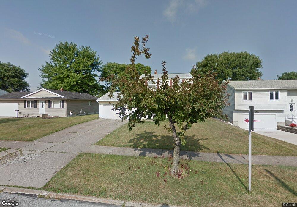
6350 Fry Rd Brookpark, OH 44142
Estimated Value: $200,000 - $257,000
3
Beds
2
Baths
1,320
Sq Ft
$166/Sq Ft
Est. Value
About This Home
This home is located at 6350 Fry Rd, Brookpark, OH 44142 and is currently estimated at $219,591, approximately $166 per square foot. 6350 Fry Rd is a home located in Cuyahoga County with nearby schools including Berea-Midpark Middle School, Berea-Midpark High School, and Huber Heights Preparatory Academy Parma Academy.
Ownership History
Date
Name
Owned For
Owner Type
Purchase Details
Closed on
Feb 24, 1989
Sold by
Mickey Kristine I
Bought by
Mickey Kristine I
Current Estimated Value
Purchase Details
Closed on
Jun 26, 1987
Sold by
Schmoll Richard F
Bought by
Mickey Kristine I
Purchase Details
Closed on
May 26, 1977
Sold by
Kluth Robert F and Kluth Ginger
Bought by
Schmoll Richard F
Purchase Details
Closed on
Jan 1, 1975
Bought by
Kluth Robert F and Kluth Ginger
Create a Home Valuation Report for This Property
The Home Valuation Report is an in-depth analysis detailing your home's value as well as a comparison with similar homes in the area
Home Values in the Area
Average Home Value in this Area
Purchase History
| Date | Buyer | Sale Price | Title Company |
|---|---|---|---|
| Mickey Kristine I | -- | -- | |
| Mickey Kristine I | $72,500 | -- | |
| Schmoll Richard F | $47,000 | -- | |
| Kluth Robert F | -- | -- |
Source: Public Records
Tax History
| Year | Tax Paid | Tax Assessment Tax Assessment Total Assessment is a certain percentage of the fair market value that is determined by local assessors to be the total taxable value of land and additions on the property. | Land | Improvement |
|---|---|---|---|---|
| 2025 | $3,036 | $60,550 | $13,055 | $47,495 |
| 2024 | $3,054 | $60,550 | $13,055 | $47,495 |
| 2023 | $3,245 | $53,270 | $10,570 | $42,700 |
| 2022 | $3,222 | $53,270 | $10,570 | $42,700 |
| 2021 | $3,203 | $53,270 | $10,570 | $42,700 |
| 2020 | $2,888 | $42,280 | $8,400 | $33,880 |
| 2019 | $2,802 | $120,800 | $24,000 | $96,800 |
| 2018 | $2,790 | $42,280 | $8,400 | $33,880 |
| 2017 | $2,689 | $37,630 | $7,840 | $29,790 |
| 2016 | $2,667 | $37,630 | $7,840 | $29,790 |
| 2015 | $2,635 | $37,630 | $7,840 | $29,790 |
| 2014 | $2,635 | $39,620 | $8,260 | $31,360 |
Source: Public Records
Map
Nearby Homes
- 6448 Delores Blvd
- 6188 Barbara Ln
- 6330 Ledgebrook Dr
- 6377 Ledgebrook Dr
- 6330 Sandfield Dr
- 6386 Sandfield Dr
- 6577 Liberty Bell Dr Unit C20
- 15995 Paulding Blvd
- 6755 Benedict Dr
- 6728 Benedict Dr
- 6748 Benedict Dr
- 6752 Benedict Dr
- 6720 Benedict Dr
- 6744 Benedict Dr
- 6724 Benedict Dr
- 6707 Woodruff Ct
- 6490 Grosse Dr
- 6016 Gilmere Dr
- 5952 Delores Blvd
- 15496 Shaleside Ct
Your Personal Tour Guide
Ask me questions while you tour the home.