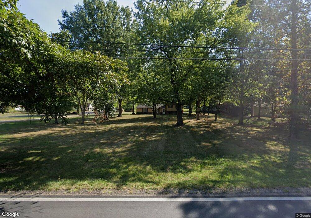
6350 Harlem Rd New Albany, OH 43054
Central College NeighborhoodEstimated Value: $598,000 - $695,000
5
Beds
2
Baths
2,200
Sq Ft
$290/Sq Ft
Est. Value
About This Home
This home is located at 6350 Harlem Rd, New Albany, OH 43054 and is currently estimated at $638,009, approximately $290 per square foot. 6350 Harlem Rd is a home with nearby schools including New Albany Primary School, New Albany Intermediate School, and New Albany Middle School.
Ownership History
Date
Name
Owned For
Owner Type
Purchase Details
Closed on
Oct 26, 2005
Sold by
Shockey John D and Shockey Marian L
Bought by
The New Albany Co Llc
Current Estimated Value
Purchase Details
Closed on
Nov 18, 1999
Sold by
Shockey John B and Shockey Barbara S
Bought by
Shockey John D and Shockey Marian L
Purchase Details
Closed on
Dec 1, 1992
Bought by
Shockey John D and Shockey John B
Purchase Details
Closed on
Sep 12, 1990
Purchase Details
Closed on
Dec 30, 1988
Create a Home Valuation Report for This Property
The Home Valuation Report is an in-depth analysis detailing your home's value as well as a comparison with similar homes in the area
Home Values in the Area
Average Home Value in this Area
Purchase History
| Date | Buyer | Sale Price | Title Company |
|---|---|---|---|
| The New Albany Co Llc | $360,000 | Stewart Tit | |
| Shockey John D | $125,000 | Gahanna Title | |
| Shockey John D | $115,900 | -- | |
| -- | -- | -- | |
| -- | $100,000 | -- |
Source: Public Records
Tax History Compared to Growth
Tax History
| Year | Tax Paid | Tax Assessment Tax Assessment Total Assessment is a certain percentage of the fair market value that is determined by local assessors to be the total taxable value of land and additions on the property. | Land | Improvement |
|---|---|---|---|---|
| 2024 | $8,626 | $188,230 | $116,410 | $71,820 |
| 2023 | $8,518 | $188,230 | $116,410 | $71,820 |
| 2022 | $8,019 | $150,890 | $97,020 | $53,870 |
| 2021 | $8,033 | $150,890 | $97,020 | $53,870 |
| 2020 | $8,045 | $150,890 | $97,020 | $53,870 |
| 2019 | $7,507 | $120,720 | $77,630 | $43,090 |
| 2018 | $3,747 | $120,720 | $77,630 | $43,090 |
| 2017 | $7,022 | $120,720 | $77,630 | $43,090 |
| 2016 | $6,540 | $96,260 | $91,460 | $4,800 |
| 2015 | $5,996 | $96,260 | $91,460 | $4,800 |
| 2014 | $12,021 | $193,870 | $184,210 | $9,660 |
| 2013 | $5,646 | $184,625 | $175,420 | $9,205 |
Source: Public Records
Map
Nearby Homes
- 5600 Apothecary Way
- 5556 Falco Dr
- 5604 Apothecary Way Unit 4
- 6813 Ridge Rock Dr Unit 14
- 5656 Apothecary Way Unit 2
- 6501 Walnut Fork Dr Unit 6501
- 6923 Rothwell St Unit 46923
- 6931 Rothwell St Unit 36931
- 6498 Ash Rock Cir Unit 6498
- 6455 Walnut Fork Dr Unit 6455
- 5730 Colts Gate Dr Unit 43
- 5777 Colts Gate Dr Unit 44
- 6950 Harlem Rd
- 5798 Aristides Way
- 5981 Niahway St Unit 57
- 5937 Seffner Dr
- 5478 Albany Terrace Way Unit 1405
- 6746 Morningside Heights Place
- 6221 Hudson Reserve Way
- 5288 Abby Gate Ave Unit 16
- 6300 Harlem Rd
- 6290 Harlem Rd
- 6365 Harlem Rd
- 6335 Harlem Rd
- 6450 Harlem Rd
- 6301 Harlem Rd
- 6769 Rolfe Ave
- 6789 Rolfe Ave
- 6435 Harlem Rd
- 6375 Harlem Rd
- 6249 Harlem Rd
- 6230 Harlem Rd
- 6508 Harlem Rd
- 6797 Rolfe Ave Unit Landon at New Albany
- 6802 Newrock Dr
- 6227 Harlem Rd
- 6806 Rolfe Ave
- 6490 Harlem Rd
- 6871 Bethany Dr
- 6800 Newrock Dr