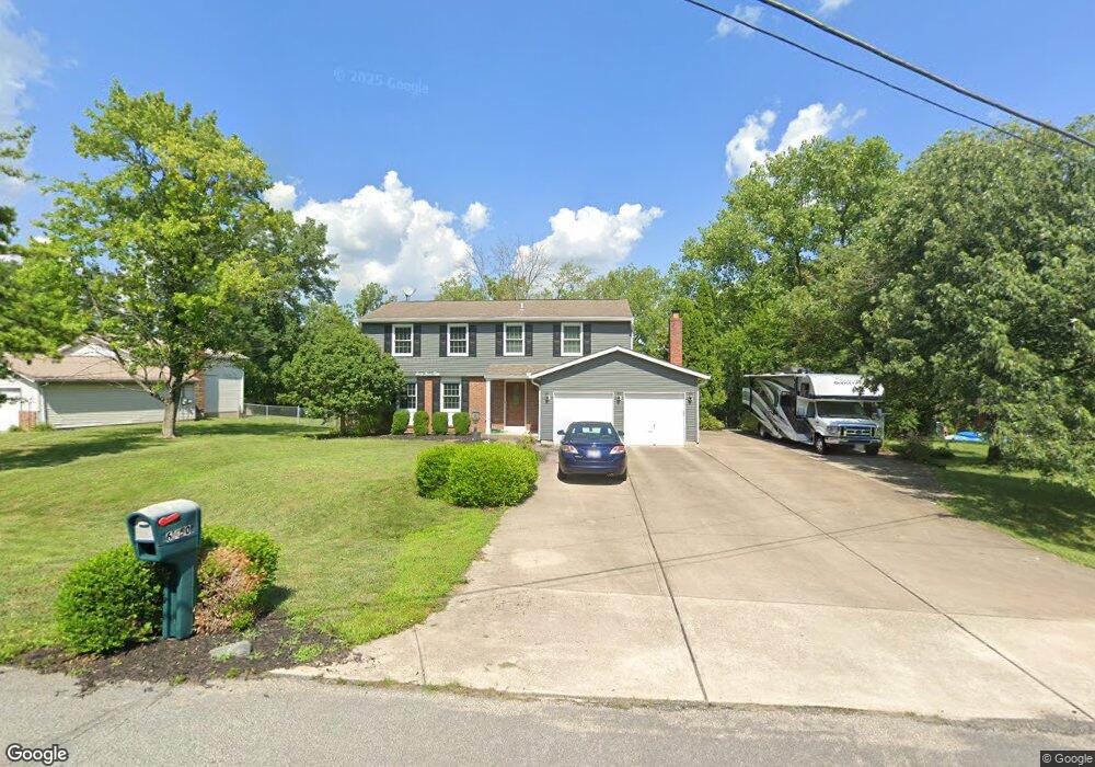
6350 Port Ln Liberty Township, OH 45011
Estimated Value: $317,000 - $381,000
3
Beds
3
Baths
1,949
Sq Ft
$179/Sq Ft
Est. Value
About This Home
This home is located at 6350 Port Ln, Liberty Township, OH 45011 and is currently estimated at $348,264, approximately $178 per square foot. 6350 Port Ln is a home located in Butler County with nearby schools including Heritage Early Childhood School, Cherokee Elementary School, and Lakota Plains Junior School.
Ownership History
Date
Name
Owned For
Owner Type
Purchase Details
Closed on
Apr 1, 2013
Sold by
Stephens Shaun
Bought by
Stephens Melanie A
Current Estimated Value
Purchase Details
Closed on
Apr 1, 2009
Sold by
Stephens Melanie A and Stephens Shaun
Bought by
Stephens Melanie A
Home Financials for this Owner
Home Financials are based on the most recent Mortgage that was taken out on this home.
Original Mortgage
$127,600
Interest Rate
4.85%
Mortgage Type
Stand Alone Refi Refinance Of Original Loan
Purchase Details
Closed on
Feb 28, 2003
Sold by
Palmer Anne M
Bought by
Palmer Melanie A
Purchase Details
Closed on
Jan 20, 1999
Sold by
Gardner William C and Gardner Edna M
Bought by
Palmer Melanie A and Palmer Anne M
Home Financials for this Owner
Home Financials are based on the most recent Mortgage that was taken out on this home.
Original Mortgage
$126,278
Interest Rate
6.76%
Mortgage Type
FHA
Create a Home Valuation Report for This Property
The Home Valuation Report is an in-depth analysis detailing your home's value as well as a comparison with similar homes in the area
Home Values in the Area
Average Home Value in this Area
Purchase History
| Date | Buyer | Sale Price | Title Company |
|---|---|---|---|
| Stephens Melanie A | -- | None Available | |
| Stephens Melanie A | -- | Lsi | |
| Palmer Melanie A | -- | -- | |
| Palmer Melanie A | $130,000 | L & D Title Agency Inc |
Source: Public Records
Mortgage History
| Date | Status | Borrower | Loan Amount |
|---|---|---|---|
| Previous Owner | Stephens Melanie A | $127,600 | |
| Previous Owner | Palmer Melanie A | $126,278 |
Source: Public Records
Tax History Compared to Growth
Tax History
| Year | Tax Paid | Tax Assessment Tax Assessment Total Assessment is a certain percentage of the fair market value that is determined by local assessors to be the total taxable value of land and additions on the property. | Land | Improvement |
|---|---|---|---|---|
| 2024 | $3,661 | $93,810 | $12,750 | $81,060 |
| 2023 | $3,616 | $94,520 | $12,750 | $81,770 |
| 2022 | $3,116 | $63,310 | $12,750 | $50,560 |
| 2021 | $3,100 | $63,310 | $12,750 | $50,560 |
| 2020 | $3,180 | $63,310 | $12,750 | $50,560 |
| 2019 | $5,129 | $53,240 | $13,490 | $39,750 |
| 2018 | $2,988 | $53,240 | $13,490 | $39,750 |
| 2017 | $3,032 | $53,240 | $13,490 | $39,750 |
| 2016 | $2,718 | $47,230 | $13,490 | $33,740 |
| 2015 | $2,715 | $47,230 | $13,490 | $33,740 |
| 2014 | $3,255 | $47,230 | $13,490 | $33,740 |
| 2013 | $3,255 | $54,680 | $13,490 | $41,190 |
Source: Public Records
Map
Nearby Homes
- 4296 Moselle Dr
- 4300 Pheasant Trail Ct
- 6384 S Snowmass Dr
- 1 Princeton Rd
- 6093 Griffin Ct
- 4077 Bramble Ct
- 4600 Snowbird Dr
- 4628 Beech Knoll Ln
- 6077 Snow Hill Dr
- 4004 Bayberry Dr
- 6406 Whippoorwill Dr
- 6406 Whippoorwill Way
- 4354 Cody Brook Dr
- 4368 Stone Trace Ln
- 4334 Palomino Ln
- 4328 Palomino Ln
- 4925 Fescue Dr
- 4377 Stone Creek Dr
- 6232 Hollyberry Ln
- 4832 Willow Ridge Dr