6351 Bunker Rd Eaton Rapids, MI 48827
Estimated Value: $276,000 - $465,000
About This Home
This home is located at 6351 Bunker Rd, Eaton Rapids, MI 48827 and is currently estimated at $376,468, approximately $227 per square foot. 6351 Bunker Rd is a home with nearby schools including Lockwood Elementary School, Greyhound Intermediate School, and Eaton Rapids Middle School.
Ownership History
We collect this data history from publicly available records. To have your information removed, we recommend requesting removal directly through your county’s website.
Purchase Details
Purchase Details
Home Financials for this Owner
Home Financials are based on the most recent Mortgage that was taken out on this home.Purchase Details
Home Financials for this Owner
Home Financials are based on the most recent Mortgage that was taken out on this home.Purchase Details
Purchase History
We collect this data history from publicly available records. To have your information removed, we recommend requesting removal directly through your county’s website.
| Date | Buyer | Sale Price | Title Company |
|---|---|---|---|
| -- | -- | ||
| $55,000 | Trans | ||
| $60,035 | Nations Title | ||
| $80,000 | -- |
Mortgage History
We collect this data history from publicly available records. To have your information removed, we recommend requesting removal directly through your county’s website.
| Date | Status | Borrower | Loan Amount |
|---|---|---|---|
| Previous Owner | $284,100 | ||
| Previous Owner | $100,000 |
Tax History
We collect this data history from publicly available records. To have your information removed, we recommend requesting removal directly through your county’s website.
| Year | Tax Paid | Tax Assessment Tax Assessment Total Assessment is a certain percentage of the fair market value that is determined by local assessors to be the total taxable value of land and additions on the property. | Land | Improvement |
|---|---|---|---|---|
| 2025 | $950 | $213,100 | $194,500 | $18,600 |
| 2024 | $9 | $220,800 | $203,300 | $17,500 |
| 2023 | $2,239 | $196,400 | $179,800 | $16,600 |
| 2022 | $2,132 | $192,200 | $179,300 | $12,900 |
| 2021 | $2,106 | $177,100 | $177,100 | $0 |
| 2020 | $1,597 | $170,100 | $158,600 | $11,500 |
| 2019 | $1,568 | $153,900 | $142,000 | $11,900 |
| 2018 | $1,962 | $151,800 | $143,300 | $8,500 |
| 2017 | $1,847 | $151,800 | $143,300 | $8,500 |
| 2016 | -- | $127,500 | $119,100 | $8,400 |
| 2015 | -- | $124,800 | $0 | $0 |
| 2014 | -- | $125,300 | $0 | $0 |
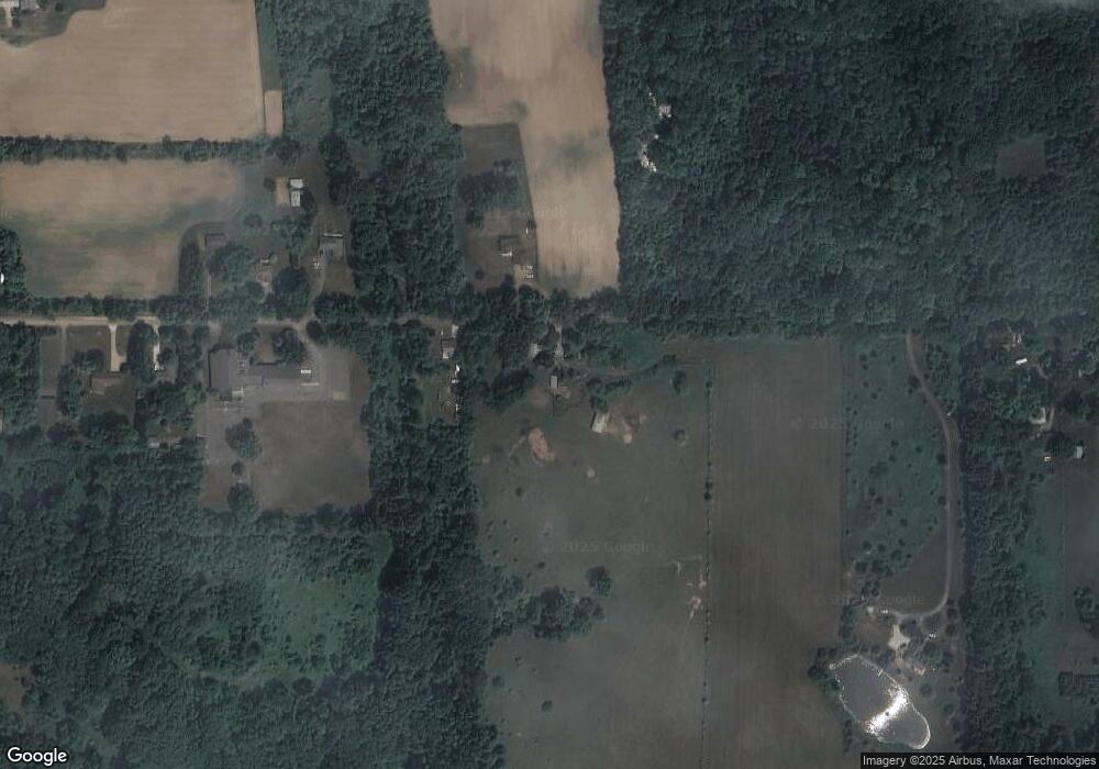
Map
- 943 S Michigan Rd
- 10661 Bunker Hwy
- 10453 Petrieville Hwy
- 10810 Petrieville Hwy
- 5525 Curtice Rd
- Parcel H Dawn Marie Ln
- Parcel B Dawn Marie Ln
- 11249 Columbia Hwy
- 888 S Eifert Rd
- 9604 Island Hwy
- 0 Barnes Rd Unit 294503
- 0 Barnes Rd Unit 295903
- 0 Barnes Rd Unit 294514
- 0 Barnes Rd Unit 294507
- 3216 Smithville Rd
- 0 S Canal Unit 296800
- Vl Gale Rd
- 1691 N Michigan Rd
- 11406 Wilbur Hwy
- #3 Barnes Rd
- 6373 Bunker Rd
- 6360 Bunker Rd
- 6414 Bunker Rd
- 6416 Bunker Rd
- 6419 Bunker Rd
- 6443 Bunker Rd
- 6219 Bunker Rd
- 6225 Bunker Rd
- 6463 Bunker Rd
- 6463 Bunker Rd
- 1021 S Waverly Rd
- 995 S Waverly Rd
- 6211 Bunker Rd
- 899 S Waverly Rd
- 885 S Waverly Rd
- 1028 S Waverly Rd
- 1046 S Waverly Rd
- 898 S Waverly Rd
- 996 S Waverly Rd
- 6160 Bunker Rd
Ask me questions while you tour the home.