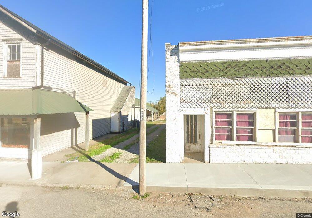
6351 State Route A Fillmore, MO 64449
Estimated Value: $176,000 - $209,000
3
Beds
1
Bath
1,569
Sq Ft
$124/Sq Ft
Est. Value
About This Home
This home is located at 6351 State Route A, Fillmore, MO 64449 and is currently estimated at $194,574, approximately $124 per square foot. 6351 State Route A is a home with nearby schools including North Andrew Elementary School, North Andrew Middle School, and North Andrew High School.
Create a Home Valuation Report for This Property
The Home Valuation Report is an in-depth analysis detailing your home's value as well as a comparison with similar homes in the area
Home Values in the Area
Average Home Value in this Area
Tax History Compared to Growth
Tax History
| Year | Tax Paid | Tax Assessment Tax Assessment Total Assessment is a certain percentage of the fair market value that is determined by local assessors to be the total taxable value of land and additions on the property. | Land | Improvement |
|---|---|---|---|---|
| 2025 | $913 | $13,970 | $3,040 | $10,930 |
| 2024 | $913 | $12,760 | $3,040 | $9,720 |
| 2023 | $853 | $12,760 | $3,040 | $9,720 |
| 2022 | $852 | $12,760 | $3,040 | $9,720 |
| 2021 | $834 | $12,760 | $3,040 | $9,720 |
| 2020 | $833 | $12,760 | $3,040 | $9,720 |
| 2019 | $793 | $12,760 | $3,040 | $9,720 |
| 2018 | $787 | $12,760 | $3,040 | $9,720 |
| 2017 | $0 | $10,820 | $3,040 | $7,780 |
| 2016 | $685 | $10,820 | $3,040 | $7,780 |
| 2015 | -- | $10,820 | $3,040 | $7,780 |
| 2011 | -- | $50,040 | $16,000 | $34,040 |
Source: Public Records
Map
Nearby Homes
- Tract 7 County Rd 65 and 66 N A
- 117.2 Acres County Road 66
- 58.7+/- Acres County Road 66
- 66 Cr 66 - Tract 5 Rd
- 1 E Hershaw St
- 9027 County Road 145 N A
- 1 County Road 45
- 1148 County Road 13
- Co Rd 45
- 0 432 Rd Unit HMS2587548
- 000 432 Rd
- 205 W Lee St
- Tract 1 Country Road 422 Rd
- 404 S Lake St
- Tract 2 County Road 422
- 0 County Road 422
- 0 State Highway Y
- 0 Us-71 Hwy
- 0 Y Hwy Unit HMS2530619
- 27760 State Highway Y