6352 Highway 73 Chisholm, MN 55719
Estimated Value: $377,000 - $489,958
2
Beds
3
Baths
2,010
Sq Ft
$218/Sq Ft
Est. Value
About This Home
This home is located at 6352 Highway 73, Chisholm, MN 55719 and is currently estimated at $438,740, approximately $218 per square foot. 6352 Highway 73 is a home located in St. Louis County with nearby schools including Vaughan Elementary School, Chisholm Elementary School, and Chisholm Secondary School.
Ownership History
Date
Name
Owned For
Owner Type
Purchase Details
Closed on
Mar 15, 2016
Sold by
Murray Lewis N
Bought by
Murray Lewis N and The Lewis N Murray Revocable T
Current Estimated Value
Purchase Details
Closed on
Oct 14, 2013
Sold by
Murray Gail N
Bought by
Murray Lews N
Purchase Details
Closed on
Dec 30, 2009
Sold by
Murray Gail N
Bought by
Murray Lewis N
Create a Home Valuation Report for This Property
The Home Valuation Report is an in-depth analysis detailing your home's value as well as a comparison with similar homes in the area
Purchase History
| Date | Buyer | Sale Price | Title Company |
|---|---|---|---|
| Murray Lewis N | -- | None Available | |
| Murray Lews N | $56,000 | None Available | |
| Murray Lewis N | $31,973 | None Available |
Source: Public Records
Mortgage History
| Date | Status | Borrower | Loan Amount |
|---|---|---|---|
| Closed | Murray Lewis N | $0 |
Source: Public Records
Tax History
| Year | Tax Paid | Tax Assessment Tax Assessment Total Assessment is a certain percentage of the fair market value that is determined by local assessors to be the total taxable value of land and additions on the property. | Land | Improvement |
|---|---|---|---|---|
| 2024 | $8,832 | $427,700 | $63,100 | $364,600 |
| 2023 | $5,736 | $397,000 | $63,100 | $333,900 |
| 2022 | $5,104 | $154,500 | $54,800 | $99,700 |
| 2021 | $1,260 | $139,700 | $49,100 | $90,600 |
| 2020 | $1,176 | $133,000 | $49,100 | $83,900 |
| 2019 | $1,234 | $133,000 | $49,100 | $83,900 |
| 2018 | $1,210 | $133,000 | $49,100 | $83,900 |
| 2017 | $1,190 | $133,000 | $49,100 | $83,900 |
| 2016 | $1,222 | $135,900 | $45,500 | $90,400 |
| 2015 | $1,259 | $98,300 | $39,800 | $58,500 |
| 2014 | $1,259 | $98,500 | $40,000 | $58,500 |
Source: Public Records
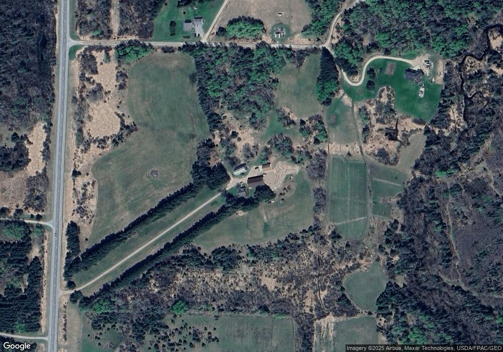
Map
Nearby Homes
- TBD McNiven Rd
- TBD French Rd
- Tbd French Rd Unit LotWP001
- TBD NE 3rd St
- 1531 2nd Ave NW
- 5xx 11th St NW
- 335 9th St NE
- 411 9th St NW
- 602 8th St NW
- 808 Center Dr NW
- 126 5th St NW
- 500 10th Ave NW
- 333 5th Ave NE
- 304 2nd Ave NW
- 217 3rd Ave NW
- 802 3rd St NW
- 230 2nd St NW
- 801 3rd St NW
- 10153 S Clear Lake Rd
- 5376 Minnesota 73
- 11273 Koshere Rd
- 11271 Koshere Rd
- 11238 Koshere Rd
- 11247 Koshere Rd
- 11269 Koshere Rd
- 11259 Tolonen Rd
- 6365 Highway 73
- 6365 Highway 73
- 6347 Highway 73
- 11191 Tolonen Rd
- 6474 Highway 73
- 11336 Briski Rd
- 11284 Smolcich Rd
- 11350 Briski Rd
- 11220 Smolcich Rd
- 11190 Smolcich Rd
- 11391 Briski Rd
- 11221 Smolcich Rd
- 6337 Maki Rd
- 11341 Nettle Rd
Your Personal Tour Guide
Ask me questions while you tour the home.