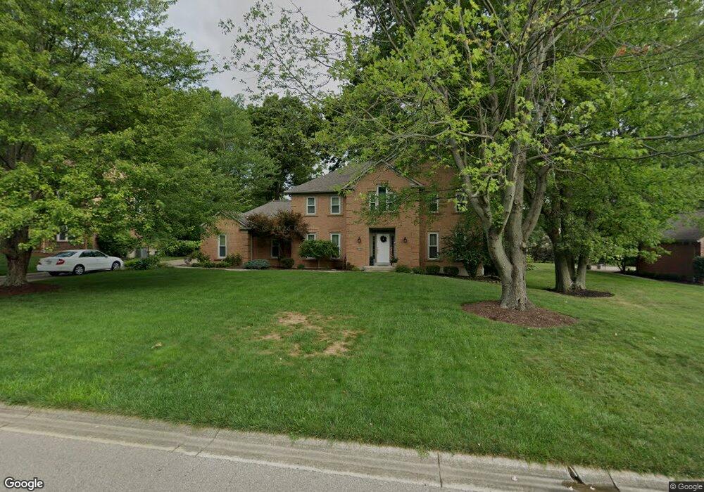
6352 S Devonshire Dr Loveland, OH 45140
Outer Loveland NeighborhoodEstimated Value: $541,000 - $594,000
4
Beds
3
Baths
2,796
Sq Ft
$199/Sq Ft
Est. Value
About This Home
This home is located at 6352 S Devonshire Dr, Loveland, OH 45140 and is currently estimated at $557,770, approximately $199 per square foot. 6352 S Devonshire Dr is a home located in Clermont County with nearby schools including Milford Senior High School, Milford Christian Academy, and St. Andrew - St. Elizabeth Ann Seton School.
Ownership History
Date
Name
Owned For
Owner Type
Purchase Details
Closed on
May 25, 1995
Sold by
Howaniec John F
Bought by
Mingus Steven L
Current Estimated Value
Home Financials for this Owner
Home Financials are based on the most recent Mortgage that was taken out on this home.
Original Mortgage
$110,000
Interest Rate
8.4%
Mortgage Type
New Conventional
Purchase Details
Closed on
Jul 1, 1989
Create a Home Valuation Report for This Property
The Home Valuation Report is an in-depth analysis detailing your home's value as well as a comparison with similar homes in the area
Home Values in the Area
Average Home Value in this Area
Purchase History
| Date | Buyer | Sale Price | Title Company |
|---|---|---|---|
| Mingus Steven L | $225,000 | -- | |
| -- | $39,900 | -- |
Source: Public Records
Mortgage History
| Date | Status | Borrower | Loan Amount |
|---|---|---|---|
| Closed | Mingus Steven L | $110,000 |
Source: Public Records
Tax History Compared to Growth
Tax History
| Year | Tax Paid | Tax Assessment Tax Assessment Total Assessment is a certain percentage of the fair market value that is determined by local assessors to be the total taxable value of land and additions on the property. | Land | Improvement |
|---|---|---|---|---|
| 2024 | $7,312 | $160,480 | $27,580 | $132,900 |
| 2023 | $7,387 | $160,480 | $27,580 | $132,900 |
| 2022 | $6,277 | $103,810 | $17,850 | $85,960 |
| 2021 | $6,283 | $103,810 | $17,850 | $85,960 |
| 2020 | $6,022 | $103,810 | $17,850 | $85,960 |
| 2019 | $5,873 | $96,110 | $16,170 | $79,940 |
| 2018 | $5,875 | $96,110 | $16,170 | $79,940 |
| 2017 | $5,784 | $96,110 | $16,170 | $79,940 |
| 2016 | $6,151 | $91,530 | $15,400 | $76,130 |
| 2015 | $5,738 | $91,530 | $15,400 | $76,130 |
| 2014 | $5,738 | $91,530 | $15,400 | $76,130 |
| 2013 | $5,046 | $78,050 | $16,100 | $61,950 |
Source: Public Records
Map
Nearby Homes
- 1513 Charleston Ln
- 6211 Cook Rd
- 1113 Clover Field Dr
- 6379 Derbyshire Ln
- 6141 Brandywine Ct
- 6365 Ironwood Dr
- 6149 Century Farm Dr
- 1331 Harbor Cove
- 5933 Firm Stance Dr
- 6661 Paxton Guinea Rd
- 1140 Weber Rd
- 899 Murle Ln
- 709 Middleton Way
- 2013 Weber Rd
- 1803 Wheatfield Way
- 802 Andrea Dr
- 6469 Brittany Ln
- 945 Paul Vista Dr
- 1706 Cottontail Dr
- 6211 Spires Dr
- 6354 S Devonshire Dr
- 6350 S Devonshire Dr
- 6356 S Devonshire Dr
- 1505 Charleston Ln
- 1697 Paxton Dr S
- 1699 Paxton Dr S
- 1697 Paxton South Dr
- 1503 Charleston Ln
- 6348 S Devonshire Dr
- 6339 S Devonshire Dr
- 6337 S Devonshire Dr
- 1699 Paxton South Dr
- 6335 S Devonshire Dr
- 6341 S Devonshire Dr
- 6358 S Devonshire Dr
- 6333 S Devonshire Dr
- 6360 S Devonshire Dr
- 1701 Paxton Dr S
- 6346 S Devonshire Dr
- 1695 Paxton South Dr