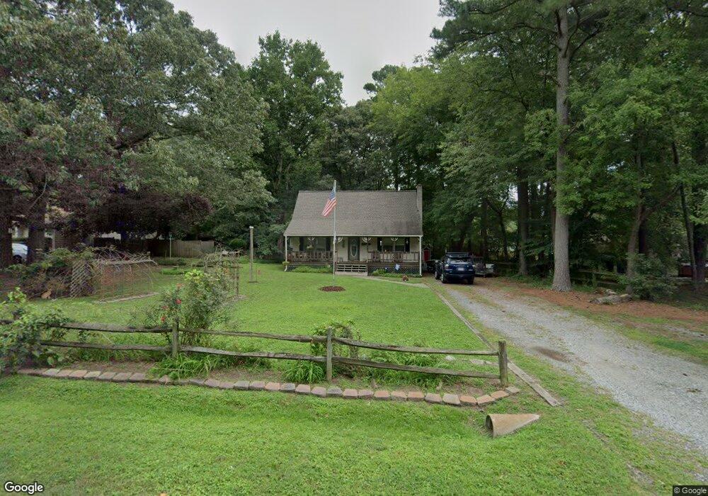
6353 Bolling Brook Ln Unit LN Gloucester, VA 23061
Gloucester South NeighborhoodEstimated Value: $242,000 - $307,000
About This Home
This home is located at 6353 Bolling Brook Ln Unit LN, Gloucester, VA 23061 and is currently estimated at $287,218, approximately $218 per square foot. 6353 Bolling Brook Ln Unit LN is a home located in Gloucester County with nearby schools including Bethel Elementary School, Peasley Middle School, and Gloucester High School.
Ownership History
We collect this data history from publicly available records. To have your information removed, we recommend requesting removal directly through your county’s website.
Purchase Details
Home Financials for this Owner
Home Financials are based on the most recent Mortgage that was taken out on this home.Home Values in the Area
Average Home Value in this Area
Purchase History
We collect this data history from publicly available records. To have your information removed, we recommend requesting removal directly through your county’s website.
| Date | Buyer | Sale Price | Title Company |
|---|---|---|---|
| $189,900 | Attorney |
Mortgage History
We collect this data history from publicly available records. To have your information removed, we recommend requesting removal directly through your county’s website.
| Date | Status | Borrower | Loan Amount |
|---|---|---|---|
| Open | $186,459 |
Tax History
We collect this data history from publicly available records. To have your information removed, we recommend requesting removal directly through your county’s website.
| Year | Tax Paid | Tax Assessment Tax Assessment Total Assessment is a certain percentage of the fair market value that is determined by local assessors to be the total taxable value of land and additions on the property. | Land | Improvement |
|---|---|---|---|---|
| 2025 | $1,395 | $227,190 | $59,550 | $167,640 |
| 2024 | $1,395 | $227,190 | $59,550 | $167,640 |
| 2023 | $1,325 | $227,190 | $59,550 | $167,640 |
| 2022 | $1,343 | $185,260 | $48,400 | $136,860 |
| 2021 | $1,288 | $185,260 | $48,400 | $136,860 |
| 2020 | $1,288 | $185,260 | $48,400 | $136,860 |
| 2019 | $853 | $122,780 | $37,030 | $85,750 |
| 2017 | $853 | $122,780 | $37,030 | $85,750 |
| 2016 | $830 | $119,480 | $37,030 | $82,450 |
| 2015 | $812 | $148,300 | $48,000 | $100,300 |
| 2014 | $964 | $148,300 | $48,000 | $100,300 |
Map
- 6381 Bolling Brook Ln
- 4783 Stephens Way
- Lot 3 Stephens Way
- 4805 Stephens Way
- 3695 Hickory Fork Rd
- 3597 Hickory Fork Rd
- 6663 Hickory Fork Rd
- 6727 Harvest Cir
- 5257 Chestnut Fork Rd
- 5786 Booker Ln
- 1.2 AC Booker Ln
- 00 Ark Rd
- 5 Ac Ark Rd
- 5080 Sandy Clay Ln
- 1.00AC Clay Bank Rd
- 5323 Clay Bank Rd
- .95AC Cowpen Neck Rd
- 5111 Duchess Ln
- 5444 Old Concord Ln
- 5288 Creekwood Ln
- 6324 Stonehenge Way
- 6334 Stonehenge Way
- 6308 Stonehenge Way
- 6353 Bolling Brook Ln
- 6346 Stonehenge Way
- 6311 Stonehenge Way
- 6329 Stonehenge Way
- 6321 Stonehenge Way
- 6363 Bolling Brook Ln
- 6339 Stonehenge Way
- 6354 Stonehenge Way
- 6340 Bolling Brook Ln
- 6358 Bolling Brook Ln
- 6373 Bolling Brook Ln
- 6305 Bolling Brook Ln
- 6320 Bolling Brook Ln
- 4738 Wakehurst Cir
- 6357 Stonehenge Way
- 6362 Stonehenge Way
- 4638 Edenberry Landing
Ask me questions while you tour the home.