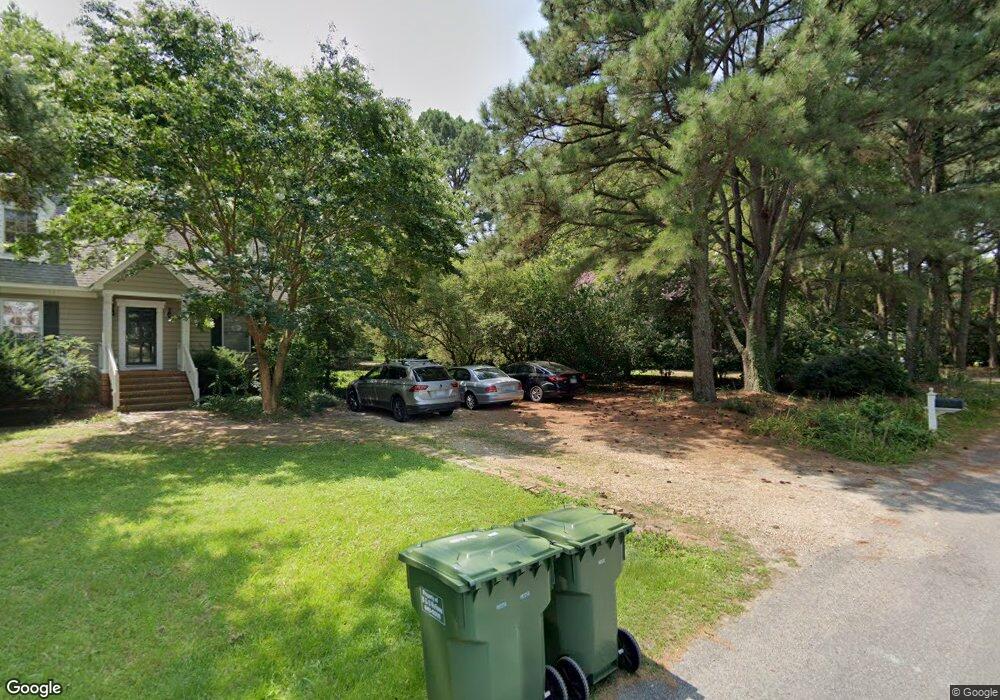
6353 Drum Point Ln Unit LANE Gloucester, VA 23061
Gloucester South NeighborhoodEstimated Value: $605,000 - $645,000
3
Beds
3
Baths
2,016
Sq Ft
$308/Sq Ft
Est. Value
About This Home
This home is located at 6353 Drum Point Ln Unit LANE, Gloucester, VA 23061 and is currently estimated at $620,243, approximately $307 per square foot. 6353 Drum Point Ln Unit LANE is a home located in Gloucester County with nearby schools including Botetourt Elementary School, Page Middle School, and Gloucester High School.
Ownership History
Date
Name
Owned For
Owner Type
Purchase Details
Closed on
Aug 29, 2025
Sold by
Ames Robin Tyler and Charest Ames Nicole
Bought by
Gaya Richard F and Gaya Cynthia L
Current Estimated Value
Home Financials for this Owner
Home Financials are based on the most recent Mortgage that was taken out on this home.
Original Mortgage
$320,000
Outstanding Balance
$319,167
Interest Rate
6.74%
Mortgage Type
New Conventional
Estimated Equity
$301,076
Purchase Details
Closed on
Oct 13, 2021
Sold by
Wheeler Living Trust and Wheeler James R
Bought by
Ames Robin Tyler and Ames Nicole Charest
Home Financials for this Owner
Home Financials are based on the most recent Mortgage that was taken out on this home.
Original Mortgage
$340,000
Interest Rate
2.8%
Mortgage Type
New Conventional
Create a Home Valuation Report for This Property
The Home Valuation Report is an in-depth analysis detailing your home's value as well as a comparison with similar homes in the area
Home Values in the Area
Average Home Value in this Area
Purchase History
| Date | Buyer | Sale Price | Title Company |
|---|---|---|---|
| Gaya Richard F | $620,000 | Fidelity National Title | |
| Ames Robin Tyler | $455,000 | None Listed On Document |
Source: Public Records
Mortgage History
| Date | Status | Borrower | Loan Amount |
|---|---|---|---|
| Open | Gaya Richard F | $320,000 | |
| Previous Owner | Ames Robin Tyler | $340,000 |
Source: Public Records
Tax History
| Year | Tax Paid | Tax Assessment Tax Assessment Total Assessment is a certain percentage of the fair market value that is determined by local assessors to be the total taxable value of land and additions on the property. | Land | Improvement |
|---|---|---|---|---|
| 2025 | $2,667 | $434,360 | $150,460 | $283,900 |
| 2024 | $2,667 | $434,360 | $150,460 | $283,900 |
| 2023 | $2,532 | $434,360 | $150,460 | $283,900 |
| 2022 | $2,736 | $377,390 | $153,270 | $224,120 |
| 2021 | $2,630 | $378,400 | $153,270 | $225,130 |
| 2020 | $2,630 | $378,400 | $153,270 | $225,130 |
| 2019 | $2,565 | $369,060 | $154,080 | $214,980 |
| 2017 | $2,565 | $369,060 | $154,080 | $214,980 |
| 2016 | $2,398 | $344,980 | $154,080 | $190,900 |
| 2015 | $2,346 | $319,700 | $108,200 | $211,500 |
| 2014 | $2,078 | $319,700 | $108,200 | $211,500 |
Source: Public Records
Map
Nearby Homes
- 7692 Cunningham Ln
- 3.87ac Cunningham Ln
- 6777 Ware Neck Rd
- 1AC Ditchley Dr
- 6036 Crockett Ln
- 7270 Shadywoods Ln
- 8428 Robins Neck Rd
- 5996 T C Walker Rd
- 0000 T C Walker Rd
- 6525 Hickory Knoll Rd
- 9378 Robins Neck Rd
- 6887 Healy Ave
- 6915 Healy Ave
- Lot 11 Feather Bed Ln
- 6891 Fairview St
- 00 Mill Ln
- 1.97ac Mill Ln
- 6876 Motley Landing Dr
- 6964 Motley Landing Dr
- 5941 Roland Smith Dr
- 8466 Baileys Wharf Rd
- 6341 Drum Point Ln
- 8456 Baileys Wharf Rd
- 8492 Baileys Wharf Rd
- 6352 Drum Point Ln
- 8502 Baileys Wharf Rd
- 8518 Baileys Wharf Rd
- 8473 Baileys Wharf Rd
- 8473 Baileys Wharf Rd
- 8477 Baileys Wharf Rd
- 6374 Pinewold Ln
- 8412 Baileys Wharf Rd
- 8527 Baileys Wharf Rd
- 8461 Baileys Wharf Rd
- 6383 Pinewold Ln
- 8375 Baileys Wharf Rd
- 00 Pinewold Ln
- 6367 Pinewold Ln
- 8350 Baileys Wharf Rd
- 8343 Baileys Wharf Rd
Your Personal Tour Guide
Ask me questions while you tour the home.