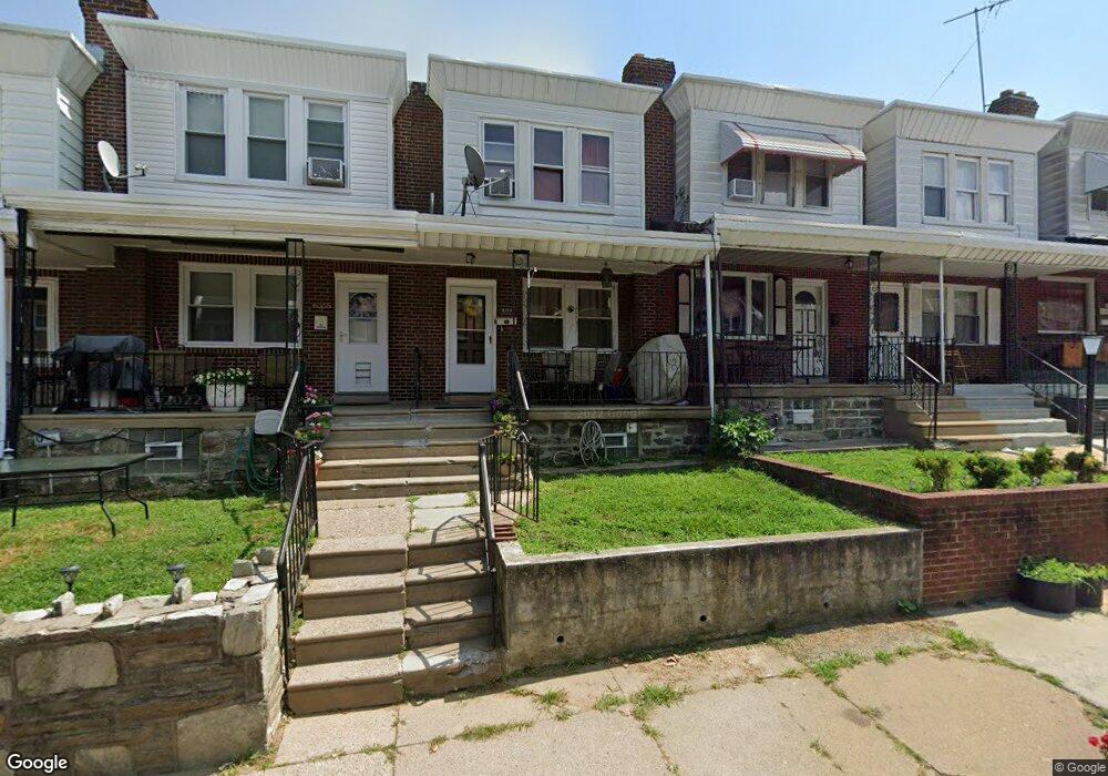
6353 Mershon St Philadelphia, PA 19149
Mayfair NeighborhoodEstimated Value: $134,000 - $197,000
3
Beds
1
Bath
1,108
Sq Ft
$158/Sq Ft
Est. Value
About This Home
This home is located at 6353 Mershon St, Philadelphia, PA 19149 and is currently estimated at $175,105, approximately $158 per square foot. 6353 Mershon St is a home located in Philadelphia County with nearby schools including Lincoln High School, Ethan Allen School, and Blessed Trinity Regional Catholic School.
Ownership History
Date
Name
Owned For
Owner Type
Purchase Details
Closed on
Jan 16, 2024
Sold by
Aml Investments Llc
Bought by
Yu Jianhuan and Zheng Shoumei
Current Estimated Value
Purchase Details
Closed on
Jan 9, 2017
Sold by
Rutledge Patrick and Rutledge Kathleen
Bought by
Am Investments Llc
Purchase Details
Closed on
May 25, 2001
Sold by
Clark Bette Ann
Bought by
Rutledge Patrick and Rutledge Kathleen
Create a Home Valuation Report for This Property
The Home Valuation Report is an in-depth analysis detailing your home's value as well as a comparison with similar homes in the area
Home Values in the Area
Average Home Value in this Area
Purchase History
| Date | Buyer | Sale Price | Title Company |
|---|---|---|---|
| Yu Jianhuan | $150,000 | None Listed On Document | |
| Am Investments Llc | $50,000 | None Available | |
| Rutledge Patrick | $28,000 | -- |
Source: Public Records
Tax History Compared to Growth
Tax History
| Year | Tax Paid | Tax Assessment Tax Assessment Total Assessment is a certain percentage of the fair market value that is determined by local assessors to be the total taxable value of land and additions on the property. | Land | Improvement |
|---|---|---|---|---|
| 2025 | $2,143 | $177,200 | $35,400 | $141,800 |
| 2024 | $2,143 | $177,200 | $35,400 | $141,800 |
| 2023 | $2,143 | $153,100 | $30,620 | $122,480 |
| 2022 | $1,643 | $153,100 | $30,620 | $122,480 |
| 2021 | $1,643 | $0 | $0 | $0 |
| 2020 | $1,643 | $0 | $0 | $0 |
| 2019 | $1,578 | $0 | $0 | $0 |
| 2018 | $1,494 | $0 | $0 | $0 |
| 2017 | $1,494 | $0 | $0 | $0 |
| 2016 | $1,494 | $0 | $0 | $0 |
| 2015 | $1,430 | $0 | $0 | $0 |
| 2014 | -- | $106,700 | $13,788 | $92,912 |
| 2012 | -- | $12,896 | $953 | $11,943 |
Source: Public Records
Map
Nearby Homes
- 6333 Mershon St
- 2916 Levick St
- 2910 Passmore St
- 2818 Hellerman St
- 6233 Cardiff St
- 2911 Passmore St
- 2818 Gilham St
- 6204 Mershon St
- 2687 Levick St
- 6200 Cardiff St
- 6524 Battersby St
- 3007 Mckinley St
- 6340 Calvert St
- 2133 Mckinley St
- 3038 Hellerman St
- 2112 Robbins Ave
- 3013 Gilham St
- 2840 Fanshawe St
- 6306 Leonard St
- 2827 Fanshawe St
- 6351 Mershon St
- 6355 Mershon St
- 6357 Mershon St
- 6349 Mershon St
- 6359 Mershon St
- 6347 Mershon St
- 6361 Mershon St
- 6345 Mershon St
- 6356 Brous Ave
- 6354 Brous Ave
- 6358 Brous Ave
- 6352 Brous Ave
- 6343 Mershon St
- 6360 Brous Ave
- 6362 Brous Ave
- 6341 Mershon St
- 6348 Brous Ave
- 6364 Brous Ave
- 6350 Mershon St
- 6346 Brous Ave