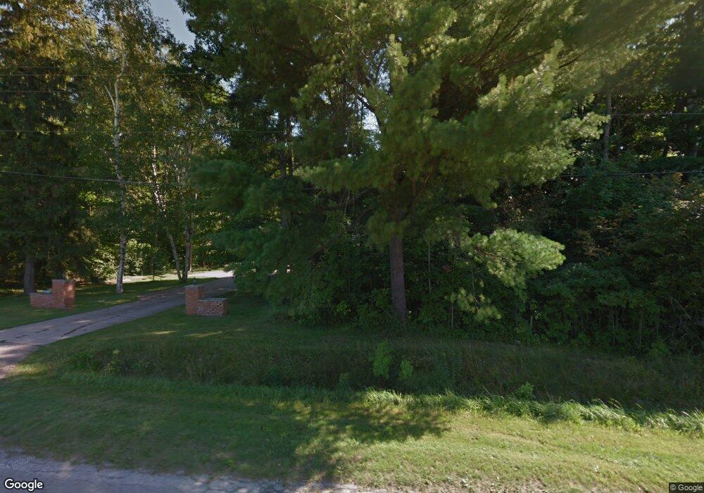
6354 Baker Rd Bridgeport, MI 48722
Estimated Value: $382,000 - $440,134
5
Beds
3
Baths
4,152
Sq Ft
$100/Sq Ft
Est. Value
About This Home
This home is located at 6354 Baker Rd, Bridgeport, MI 48722 and is currently estimated at $415,045, approximately $99 per square foot. 6354 Baker Rd is a home located in Saginaw County with nearby schools including Thomas White School, Martin G. Atkins Elementary School, and Bridgeport High School.
Ownership History
Date
Name
Owned For
Owner Type
Purchase Details
Closed on
Nov 30, 1990
Current Estimated Value
Create a Home Valuation Report for This Property
The Home Valuation Report is an in-depth analysis detailing your home's value as well as a comparison with similar homes in the area
Home Values in the Area
Average Home Value in this Area
Purchase History
| Date | Buyer | Sale Price | Title Company |
|---|---|---|---|
| -- | $85,000 | -- |
Source: Public Records
Tax History Compared to Growth
Tax History
| Year | Tax Paid | Tax Assessment Tax Assessment Total Assessment is a certain percentage of the fair market value that is determined by local assessors to be the total taxable value of land and additions on the property. | Land | Improvement |
|---|---|---|---|---|
| 2025 | $4,413 | $201,700 | $0 | $0 |
| 2024 | $1,264 | $193,000 | $0 | $0 |
| 2023 | $1,203 | $163,000 | $0 | $0 |
| 2022 | $3,751 | $146,200 | $0 | $0 |
| 2021 | $3,420 | $129,500 | $0 | $0 |
| 2020 | $3,343 | $122,800 | $0 | $0 |
| 2019 | $3,192 | $116,300 | $8,400 | $107,900 |
| 2018 | $905 | $102,800 | $0 | $0 |
| 2017 | $2,516 | $96,600 | $0 | $0 |
| 2016 | $2,731 | $95,300 | $0 | $0 |
| 2014 | -- | $84,000 | $0 | $75,600 |
| 2013 | -- | $83,500 | $0 | $0 |
Source: Public Records
Map
Nearby Homes
- 5205 Baker Rd
- 5885 McGrandy Rd
- 0 VL S Airport Rd
- V/L S Airport Rd
- 4719 Baker Rd
- 6605 Bridgeport Hwy
- 6267 Junction Rd
- Parcel E W Rolling Hills Dr
- Parcel B W Rolling Hills Dr
- Parcel D W Rolling Hills Dr
- Parcel F W Rolling Hills Dr
- Parcel C W Rolling Hills Dr
- 4694 King Rd
- 6412 Tin Lizzy Ln
- 4705 Weiss Rd
- 3927 State St
- 3838 Sherman St
- 3977 Snowberry Rd
- 4333 Riverview Dr
- 4051 Old King Rd