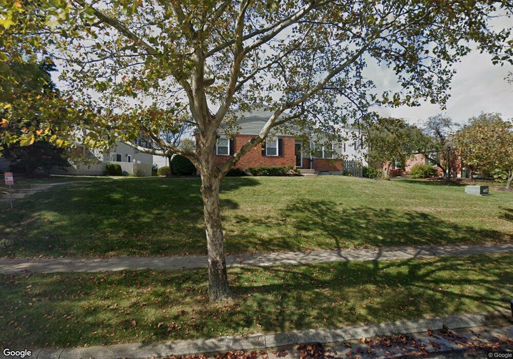
6354 Well Fleet Dr Unit 104 Columbus, OH 43231
Northern Woods NeighborhoodEstimated Value: $172,420 - $192,000
3
Beds
2
Baths
1,100
Sq Ft
$167/Sq Ft
Est. Value
About This Home
This home is located at 6354 Well Fleet Dr Unit 104, Columbus, OH 43231 and is currently estimated at $183,605, approximately $166 per square foot. 6354 Well Fleet Dr Unit 104 is a home located in Franklin County with nearby schools including Fouse Elementary School, Genoa Middle School, and Westerville Central High School.
Ownership History
Date
Name
Owned For
Owner Type
Purchase Details
Closed on
Sep 27, 2007
Sold by
Leonard Mary M
Bought by
The Ohio Atlas Group Llc
Current Estimated Value
Purchase Details
Closed on
Jul 26, 2000
Sold by
Estate Of Frank F Leonard
Bought by
Leonard Mary M
Purchase Details
Closed on
Sep 6, 1979
Bought by
Leonard Frank F and Leonard Mary M
Create a Home Valuation Report for This Property
The Home Valuation Report is an in-depth analysis detailing your home's value as well as a comparison with similar homes in the area
Home Values in the Area
Average Home Value in this Area
Purchase History
| Date | Buyer | Sale Price | Title Company |
|---|---|---|---|
| The Ohio Atlas Group Llc | $81,000 | Talon Group | |
| Leonard Mary M | -- | -- | |
| Leonard Frank F | -- | -- |
Source: Public Records
Tax History Compared to Growth
Tax History
| Year | Tax Paid | Tax Assessment Tax Assessment Total Assessment is a certain percentage of the fair market value that is determined by local assessors to be the total taxable value of land and additions on the property. | Land | Improvement |
|---|---|---|---|---|
| 2024 | $2,532 | $49,600 | $9,100 | $40,500 |
| 2023 | $2,472 | $49,600 | $9,100 | $40,500 |
| 2022 | $3,360 | $33,360 | $3,500 | $29,860 |
| 2021 | $2,363 | $33,360 | $3,500 | $29,860 |
| 2020 | $2,192 | $33,360 | $3,500 | $29,860 |
| 2019 | $1,841 | $26,670 | $2,800 | $23,870 |
| 2018 | $1,714 | $26,670 | $2,800 | $23,870 |
| 2017 | $1,715 | $26,670 | $2,800 | $23,870 |
| 2016 | $1,623 | $21,850 | $2,700 | $19,150 |
| 2015 | $1,626 | $21,850 | $2,700 | $19,150 |
| 2014 | $1,628 | $21,850 | $2,700 | $19,150 |
| 2013 | $950 | $24,290 | $3,010 | $21,280 |
Source: Public Records
Map
Nearby Homes
- 2721 Woodland Trail Dr Unit 2721
- 2727 Patrick Ave
- 3066 Ravine Pointe Dr Unit 3066
- 2981 Blendon Woods Blvd Unit 983
- 2677-2679 Blossom Ave
- 3076 Blendon Woods Blvd
- 3038 Highcliff Ct
- 3001 Cooper Bluff Dr Unit 3001
- 2292 Laurelwood Dr Unit 2292L
- 3070 Highcliff Ct Unit 3070
- 3068 Highcliff Ct Unit 3068
- 2800 Overview Ct Unit 2800B
- 2197 Bayfield Dr
- 465 W Schrock Rd
- 6048 Pinemoor St
- 5841 Forest Hills Blvd Unit 5843
- 2120 Willowick Dr Unit B
- 6658 Walbridge St
- 5678 Great Hall Ct Unit 12C
- 6448 Sharon Woods Blvd Unit B
- 6352 Well Fleet Dr Unit 102
- 6350 Well Fleet Dr Unit 103
- 6360 Well Fleet Dr
- 6360 Well Fleet Dr Unit 107
- 6348 Well Fleet Dr
- 6356 Well Fleet Dr Unit 105
- 6342 Well Fleet Dr Unit 94
- 6362 Well Fleet Dr Unit 108
- 6346 Well Fleet Dr
- 6358 Well Fleet Dr Unit 106
- 6344 Well Fleet Dr Unit 95
- 6340 Well Fleet Dr Unit 93
- 6347 Well Fleet Dr Unit 97
- 6370 Newtown Dr
- 6374 Newtown Dr
- 6376 Newtown Dr Unit 6376
- 6382 Newtown Dr
- 6339 Well Fleet Dr Unit 89
- 6349 Well Fleet Dr