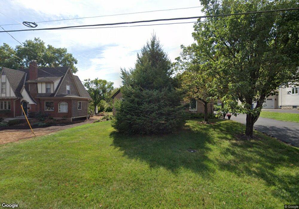
6355 Euclid Rd Cincinnati, OH 45236
Estimated Value: $471,000 - $498,000
3
Beds
2
Baths
2,014
Sq Ft
$241/Sq Ft
Est. Value
About This Home
This home is located at 6355 Euclid Rd, Cincinnati, OH 45236 and is currently estimated at $484,638, approximately $240 per square foot. 6355 Euclid Rd is a home located in Hamilton County with nearby schools including Madeira Elementary School, Madeira Middle School, and Madeira High School.
Ownership History
Date
Name
Owned For
Owner Type
Purchase Details
Closed on
Apr 23, 2007
Sold by
Varga Frank J and Varga Rosemary B
Bought by
Varga Frank J and Varga Rosemary Babiak
Current Estimated Value
Purchase Details
Closed on
Jul 26, 1994
Sold by
Morris Helen G and Morris Albert P
Bought by
Varga Frank J and Varga Rosemary B
Home Financials for this Owner
Home Financials are based on the most recent Mortgage that was taken out on this home.
Original Mortgage
$90,000
Interest Rate
8.41%
Create a Home Valuation Report for This Property
The Home Valuation Report is an in-depth analysis detailing your home's value as well as a comparison with similar homes in the area
Home Values in the Area
Average Home Value in this Area
Purchase History
| Date | Buyer | Sale Price | Title Company |
|---|---|---|---|
| Varga Frank J | -- | None Available | |
| Varga Frank J | -- | -- |
Source: Public Records
Mortgage History
| Date | Status | Borrower | Loan Amount |
|---|---|---|---|
| Closed | Varga Frank J | $90,000 |
Source: Public Records
Tax History
| Year | Tax Paid | Tax Assessment Tax Assessment Total Assessment is a certain percentage of the fair market value that is determined by local assessors to be the total taxable value of land and additions on the property. | Land | Improvement |
|---|---|---|---|---|
| 2025 | $7,554 | $138,597 | $46,939 | $91,658 |
| 2023 | $7,509 | $138,597 | $46,939 | $91,658 |
| 2022 | $6,994 | $107,290 | $38,931 | $68,359 |
| 2021 | $6,833 | $107,290 | $38,931 | $68,359 |
| 2020 | $6,335 | $107,290 | $38,931 | $68,359 |
| 2019 | $6,061 | $95,792 | $34,759 | $61,033 |
| 2018 | $6,110 | $95,792 | $34,759 | $61,033 |
| 2017 | $5,787 | $95,792 | $34,759 | $61,033 |
| 2016 | $6,104 | $95,442 | $34,759 | $60,683 |
| 2015 | $5,654 | $95,442 | $34,759 | $60,683 |
| 2014 | $5,688 | $95,442 | $34,759 | $60,683 |
| 2013 | $6,103 | $98,392 | $35,833 | $62,559 |
Source: Public Records
Map
Nearby Homes
- 7752 Montgomery Rd
- 6495 Dawson Rd
- 7633 Montgomery Rd
- 7633 Montgomery Rd Unit 3
- 6752 Rose Crest Ave
- 7151 Euclid Ave
- 7159 Hosbrook Rd
- 4390 Yakima Ct
- 5635 Euclid Rd
- 7321 Hosbrook Rd
- 7220 Mar Del Dr
- 7406 Dawson Rd
- 7034 East Ave
- 4300 Hegner Ave
- 4248 South Ave
- 7133 Fowler Ave
- 7317 Euclid Ave
- 4224 North Ave
- 4155 Home St
- 6705 Elwynne Dr
- 6343 Euclid Rd
- 6369 Euclid Rd
- 6329 Euclid Rd
- 6381 Euclid Rd
- 6941 Kenwood Rd
- 6319 Euclid Rd
- 6395 Euclid Rd
- 6354 Euclid Rd
- 6929 Kenwood Rd
- 6340 Euclid Rd
- 6326 Euclid Rd
- 6935 Kenwood Rd
- 6317 Euclid Rd
- 6380 Euclid Rd
- 6396 Euclid Rd
- 6921 Kenwood Rd
- 6306 Euclid Rd
- 6301 Euclid Rd
- 6421 Euclid Ave
- 6960 Kenwood Rd
Your Personal Tour Guide
Ask me questions while you tour the home.