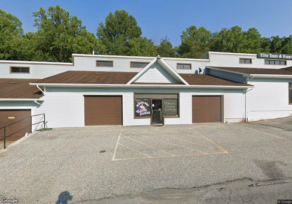
6355 S Carroll Park Dr Sykesville, MD 21784
Estimated Value: $1,251,079
--
Bed
--
Bath
11,830
Sq Ft
$106/Sq Ft
Est. Value
About This Home
This home is located at 6355 S Carroll Park Dr, Sykesville, MD 21784 and is currently estimated at $1,251,079, approximately $105 per square foot. 6355 S Carroll Park Dr is a home located in Carroll County with nearby schools including Freedom District Elementary School, Oklahoma Road Middle School, and Liberty High School.
Ownership History
Date
Name
Owned For
Owner Type
Purchase Details
Closed on
Aug 17, 2016
Sold by
T L Holdings Llc
Bought by
Jams Holding Llc
Current Estimated Value
Purchase Details
Closed on
Jan 28, 2005
Sold by
Malstrom Michael G
Bought by
T L Holdings Llc
Purchase Details
Closed on
Jun 8, 1992
Sold by
Resolution Trust Corporation
Bought by
Malstrom Michael G
Create a Home Valuation Report for This Property
The Home Valuation Report is an in-depth analysis detailing your home's value as well as a comparison with similar homes in the area
Home Values in the Area
Average Home Value in this Area
Purchase History
| Date | Buyer | Sale Price | Title Company |
|---|---|---|---|
| Jams Holding Llc | $800,000 | Key Title Inc | |
| T L Holdings Llc | $697,500 | -- | |
| Malstrom Michael G | $344,000 | -- |
Source: Public Records
Tax History Compared to Growth
Tax History
| Year | Tax Paid | Tax Assessment Tax Assessment Total Assessment is a certain percentage of the fair market value that is determined by local assessors to be the total taxable value of land and additions on the property. | Land | Improvement |
|---|---|---|---|---|
| 2025 | $11,449 | $1,048,333 | $0 | $0 |
| 2024 | $11,449 | $988,600 | $286,500 | $702,100 |
| 2023 | $10,665 | $943,800 | $0 | $0 |
| 2022 | $10,446 | $899,000 | $0 | $0 |
| 2021 | $20,670 | $854,200 | $355,200 | $499,000 |
| 2020 | $9,421 | $810,800 | $0 | $0 |
| 2019 | $9,013 | $767,400 | $0 | $0 |
| 2018 | $8,449 | $724,000 | $353,500 | $370,500 |
| 2017 | $8,282 | $709,133 | $0 | $0 |
| 2016 | -- | $694,267 | $0 | $0 |
| 2015 | -- | $679,400 | $0 | $0 |
| 2014 | -- | $679,400 | $0 | $0 |
Source: Public Records
Map
Nearby Homes
- 1822 Cassandra Dr Unit 117
- 6515 Dundee Dr Unit 240
- 6467 Cornwall Dr Unit 56
- 1900 Lennox Dr Unit 41
- 1900 Lennox Dr Unit 49
- 1909 Lennox Dr Unit 90
- 2023 Rudy Serra Dr Unit 2D
- 2016 Rudy Serra Dr Unit A
- 2016 Rudy Serra Dr Unit C
- 2003 Rudy Serra Dr Unit 1D
- 2010 Rudy Serra Dr Unit C
- 6223 E Hemlock Dr
- 1809 Fallstaff Ct
- 6670 Slacks Rd
- 6565 Macbeth Way
- 6210 Rolling View Dr
- Lot 1 Carroll Highlands Rd
- 1696 Gemini Dr
- 6741 Quad Ln
- 4017 Rudy Dr
- 1912 Liberty Rd
- 6345 S Carroll Park Dr Unit E
- 6345 S Carroll Park Dr Unit C
- 6345 S Carroll Park Dr Unit F
- 6345 S Carroll Park Dr
- 2 Liberty Rd
- 6350 S Carroll Park Dr
- 1918 Liberty Rd
- 6340 S Carroll Park Dr
- 1840 Liberty Rd
- 6360 Monroe Ave
- 1900 Liberty Rd
- 1907 Brightwood Ct
- 1932 Liberty Rd
- 1909 Brightwood Ct
- 1905 Brightwood Ct
- 1936 Liberty Rd
- 1838 Liberty Rd
- 1908 Brightwood Ct
- 1940 Liberty Rd