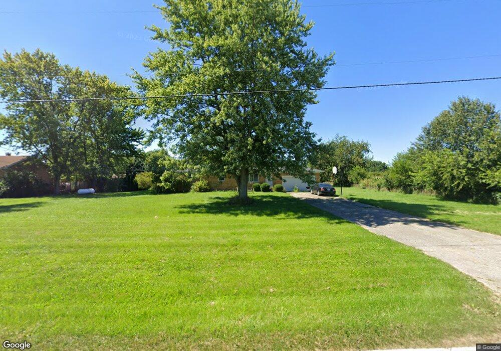
6355 Twitchell Rd Springfield, OH 45502
Estimated Value: $231,000 - $302,000
3
Beds
1
Bath
1,196
Sq Ft
$217/Sq Ft
Est. Value
About This Home
This home is located at 6355 Twitchell Rd, Springfield, OH 45502 and is currently estimated at $259,549, approximately $217 per square foot. 6355 Twitchell Rd is a home located in Clark County with nearby schools including Northridge Elementary School, Kenton Ridge Middle & High School, and Emmanuel Christian Academy.
Ownership History
Date
Name
Owned For
Owner Type
Purchase Details
Closed on
Dec 15, 1995
Sold by
Est Mary M Bauser
Bought by
Evans Troy L and Evans Jill R
Current Estimated Value
Home Financials for this Owner
Home Financials are based on the most recent Mortgage that was taken out on this home.
Original Mortgage
$71,400
Interest Rate
7.45%
Mortgage Type
New Conventional
Create a Home Valuation Report for This Property
The Home Valuation Report is an in-depth analysis detailing your home's value as well as a comparison with similar homes in the area
Purchase History
| Date | Buyer | Sale Price | Title Company |
|---|---|---|---|
| Evans Troy L | $84,000 | -- |
Source: Public Records
Mortgage History
| Date | Status | Borrower | Loan Amount |
|---|---|---|---|
| Closed | Evans Troy L | $71,400 |
Source: Public Records
Tax History
| Year | Tax Paid | Tax Assessment Tax Assessment Total Assessment is a certain percentage of the fair market value that is determined by local assessors to be the total taxable value of land and additions on the property. | Land | Improvement |
|---|---|---|---|---|
| 2025 | $2,306 | $62,480 | $17,820 | $44,660 |
| 2024 | $2,230 | $52,740 | $13,820 | $38,920 |
| 2023 | $2,230 | $52,740 | $13,820 | $38,920 |
| 2022 | $2,239 | $52,740 | $13,820 | $38,920 |
| 2021 | $2,165 | $43,230 | $11,330 | $31,900 |
| 2020 | $2,167 | $43,230 | $11,330 | $31,900 |
| 2019 | $2,208 | $43,230 | $11,330 | $31,900 |
| 2018 | $1,997 | $37,520 | $10,490 | $27,030 |
| 2017 | $1,711 | $37,524 | $10,490 | $27,034 |
| 2016 | $1,699 | $37,524 | $10,490 | $27,034 |
| 2015 | $1,649 | $35,064 | $10,490 | $24,574 |
| 2014 | $1,648 | $35,064 | $10,490 | $24,574 |
| 2013 | $1,610 | $35,064 | $10,490 | $24,574 |
Source: Public Records
Map
Nearby Homes
- 4273 Kay Ave
- 4607 Plateau Dr S
- 4954 E County Line Rd
- 5060 Morris Rd
- 1977 Willoughby Ave
- 4500 Bosart Rd
- 1470 Oldham Dr Unit 12
- 4890 Brannan Dr W Unit 4890
- 1398 Elizabeth Ct Unit 66
- 5564 Ridgewood Rd E Unit 7
- 1495 Victorian Way
- 4732 Lehigh Dr
- 1521 Erika Dr
- 4816 Middle Urbana Rd
- 5564 Ridgewood Rd W
- 5033 Ridgewood Rd E
- 4652 Reno Ln Unit 15
- 937 Willow Rd
- 5235 W Ridgewood Rd
- 4577 Reno Ln Unit 2
- 6333 Twitchell Rd
- 6301 Twitchell Rd
- 3961 Mumper Rd
- 3983 Mumper Rd
- 3939 Mumper Rd
- 3917 Mumper Rd
- 3895 Mumper Rd
- 3873 Mumper Rd
- 3851 Mumper Rd
- 3825 Mumper Rd
- 6175 Twitchell Rd
- 3807 Mumper Rd
- 4100 Mumper Rd
- 3781 Mumper Rd
- 3763 Mumper Rd
- 6131 Twitchell Rd
- 4252 Kay Ave
- 3741 Mumper Rd
- 3717 Mumper Rd
- 6080 Twitchell Rd
Your Personal Tour Guide
Ask me questions while you tour the home.