6356 Gentry Ct N Unit 119 Hudsonville, MI 49426
Estimated Value: $323,619 - $356,000
3
Beds
2
Baths
1,238
Sq Ft
$276/Sq Ft
Est. Value
About This Home
This home is located at 6356 Gentry Ct N Unit 119, Hudsonville, MI 49426 and is currently estimated at $341,655, approximately $275 per square foot. 6356 Gentry Ct N Unit 119 is a home located in Ottawa County with nearby schools including Bursley School, Jenison Junior High School, and Jenison High School.
Ownership History
Date
Name
Owned For
Owner Type
Purchase Details
Closed on
Aug 16, 2024
Sold by
Allen Steven C
Bought by
Steven C Allen Trust and Allen
Current Estimated Value
Purchase Details
Closed on
Dec 4, 2020
Sold by
Allen Scott E and Allen Steven C
Bought by
Allen Steven S
Purchase Details
Closed on
Apr 22, 2011
Sold by
Allen Marguerite L
Bought by
Allen Marguerite L and Allen Living Trust
Purchase Details
Closed on
Aug 18, 2008
Sold by
Allen Daniel M and Allen Thomas D
Bought by
The Allen Living Trust
Create a Home Valuation Report for This Property
The Home Valuation Report is an in-depth analysis detailing your home's value as well as a comparison with similar homes in the area
Home Values in the Area
Average Home Value in this Area
Purchase History
| Date | Buyer | Sale Price | Title Company |
|---|---|---|---|
| Steven C Allen Trust | -- | None Listed On Document | |
| Allen Steven S | -- | None Available | |
| Allen Marguerite L | -- | None Available | |
| The Allen Living Trust | -- | Metropolitan Title Company | |
| Allen Daniel M | $135,000 | Metropolitan Title Company |
Source: Public Records
Tax History Compared to Growth
Tax History
| Year | Tax Paid | Tax Assessment Tax Assessment Total Assessment is a certain percentage of the fair market value that is determined by local assessors to be the total taxable value of land and additions on the property. | Land | Improvement |
|---|---|---|---|---|
| 2025 | $4,158 | $153,500 | $0 | $0 |
| 2024 | $3,822 | $153,900 | $0 | $0 |
| 2023 | $3,645 | $126,800 | $0 | $0 |
| 2022 | $3,777 | $123,200 | $0 | $0 |
| 2021 | $3,599 | $113,500 | $0 | $0 |
| 2020 | $2,217 | $113,600 | $0 | $0 |
| 2019 | $2,219 | $110,700 | $0 | $0 |
| 2018 | $2,070 | $104,400 | $0 | $0 |
| 2017 | $2,034 | $102,500 | $0 | $0 |
| 2016 | $2,021 | $93,300 | $0 | $0 |
| 2015 | $1,929 | $94,900 | $0 | $0 |
| 2014 | $1,929 | $71,100 | $0 | $0 |
Source: Public Records
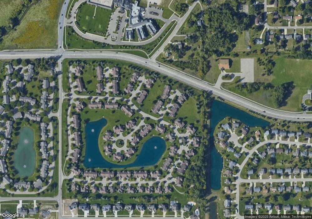
Map
Nearby Homes
- 6363 Eastridge Ct
- 6293 Eastridge Dr
- 1643 Laramy Ln
- 1520 Winifred St
- 6129 W Bay Ct
- 1433 Winifred St
- 1519 Eagle Shore Ct Unit Lot 33
- 1496 Eagle Shore Ct Unit 13
- 1481 Eagle Shore Ct Unit 39
- 1451 Eagle Shore Ct
- 1361 Carol Dr
- 1355 Bent Tree Dr Unit 12
- 6451 12th Ave
- 6905 Maple Ave
- 6025 Gleneagle Dr
- 5833 Nelson Dr
- 1187 Fairfield Dr
- 5954 Gleneagle Dr
- 1037 Fairfield Dr
- Parcel 8 16th Ave
- 6354 Gentry Ct N
- 6356 Getry Ct N
- 6376 Gentry Ct N Unit 120
- 6376 Getry Ct N
- 6378 Gentry Ct N
- 6352 Gentry Ct N
- 6352 Getry Ct N
- 6373 Livingston Ct Unit 113
- 6371 Livingston Ct
- 6371 Livingston Ct Unit 114
- 6355 Livingston Ct Unit 115
- 6375 Livingston Ct
- 6353 Livingston Ct
- 6353 Livingston Ct Unit 116
- 1778 Stonegate Dr
- 358 Port Sheldon St
- 394 Port Sheldon St
- 1776 Stonegate Dr
- 1758 Stonegate Dr
- 1884 Port Sheldon St