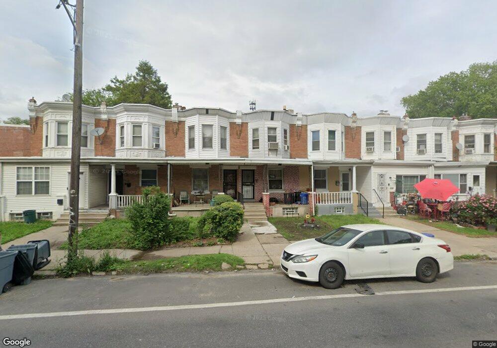
6357 Chew Ave Philadelphia, PA 19138
East Mount Airy NeighborhoodEstimated Value: $168,000 - $187,813
3
Beds
1
Bath
1,306
Sq Ft
$136/Sq Ft
Est. Value
About This Home
This home is located at 6357 Chew Ave, Philadelphia, PA 19138 and is currently estimated at $177,953, approximately $136 per square foot. 6357 Chew Ave is a home located in Philadelphia County with nearby schools including Eleanor C. Emlen School, Roosevelt Theodore Middle School, and Martin Luther King High School.
Ownership History
Date
Name
Owned For
Owner Type
Purchase Details
Closed on
May 12, 2006
Sold by
Carey Albert and Carey Anna
Bought by
Mason Yvette L
Current Estimated Value
Home Financials for this Owner
Home Financials are based on the most recent Mortgage that was taken out on this home.
Original Mortgage
$45,000
Outstanding Balance
$26,255
Interest Rate
6.53%
Mortgage Type
Purchase Money Mortgage
Estimated Equity
$151,698
Purchase Details
Closed on
Nov 30, 1994
Sold by
Morton Lovanna and Reid Sarah L
Bought by
Carey Albert and Carey Anna
Create a Home Valuation Report for This Property
The Home Valuation Report is an in-depth analysis detailing your home's value as well as a comparison with similar homes in the area
Home Values in the Area
Average Home Value in this Area
Purchase History
| Date | Buyer | Sale Price | Title Company |
|---|---|---|---|
| Mason Yvette L | $45,000 | None Available | |
| Carey Albert | $31,000 | -- |
Source: Public Records
Mortgage History
| Date | Status | Borrower | Loan Amount |
|---|---|---|---|
| Open | Mason Yvette L | $45,000 |
Source: Public Records
Tax History Compared to Growth
Tax History
| Year | Tax Paid | Tax Assessment Tax Assessment Total Assessment is a certain percentage of the fair market value that is determined by local assessors to be the total taxable value of land and additions on the property. | Land | Improvement |
|---|---|---|---|---|
| 2025 | $1,723 | $162,500 | $32,500 | $130,000 |
| 2024 | $1,723 | $162,500 | $32,500 | $130,000 |
| 2023 | $1,723 | $123,100 | $24,620 | $98,480 |
| 2022 | $1,120 | $78,100 | $24,620 | $53,480 |
| 2021 | $1,750 | $0 | $0 | $0 |
| 2020 | $1,750 | $0 | $0 | $0 |
| 2019 | $1,827 | $0 | $0 | $0 |
| 2018 | $1,354 | $0 | $0 | $0 |
| 2017 | $1,774 | $0 | $0 | $0 |
| 2016 | $1,354 | $0 | $0 | $0 |
| 2015 | $1,296 | $0 | $0 | $0 |
| 2014 | -- | $126,700 | $10,774 | $115,926 |
| 2012 | -- | $8,416 | $1,608 | $6,808 |
Source: Public Records
Map
Nearby Homes
- 617 E Brinton St
- 539 E Brinton St
- 6449 Clearview St
- 514 Brinton St
- 381 E Cliveden St
- 513 E Brinton St
- 512 E Brinton St
- 366 E Upsal St
- 364 E Upsal St
- 6327 Musgrave St
- 335 E Cliveden St
- 6221 Chew Ave
- 6507 Belfield Ave
- 6210 Clearview St
- 306 E Upsal St
- 6700 -6708 Musgrave St
- 419 E Upsal St
- 252 E Sharpnack St
- 5510 20 Sprague St
- 401 E Sharpnack St