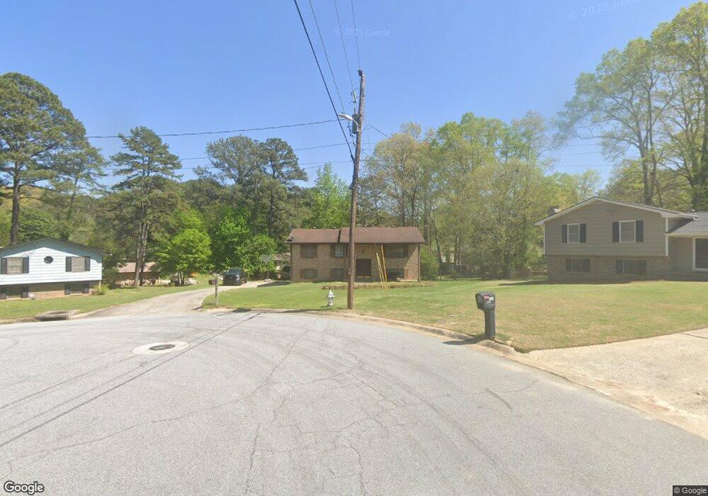
6357 Woodstock Ln Unit 8 Riverdale, GA 30296
Estimated Value: $195,000 - $253,000
3
Beds
2
Baths
1,188
Sq Ft
$189/Sq Ft
Est. Value
About This Home
This home is located at 6357 Woodstock Ln Unit 8, Riverdale, GA 30296 and is currently estimated at $225,100, approximately $189 per square foot. 6357 Woodstock Ln Unit 8 is a home located in Clayton County with nearby schools including Oliver Elementary School, North Clayton Middle School, and North Clayton High School.
Ownership History
Date
Name
Owned For
Owner Type
Purchase Details
Closed on
Oct 18, 1994
Sold by
Brown Alice B S
Bought by
Leonard Jimmie L Gail H
Current Estimated Value
Home Financials for this Owner
Home Financials are based on the most recent Mortgage that was taken out on this home.
Original Mortgage
$63,750
Interest Rate
11.5%
Mortgage Type
FHA
Create a Home Valuation Report for This Property
The Home Valuation Report is an in-depth analysis detailing your home's value as well as a comparison with similar homes in the area
Home Values in the Area
Average Home Value in this Area
Purchase History
| Date | Buyer | Sale Price | Title Company |
|---|---|---|---|
| Leonard Jimmie L Gail H | $1,000 | -- |
Source: Public Records
Mortgage History
| Date | Status | Borrower | Loan Amount |
|---|---|---|---|
| Closed | Leonard Jimmie L Gail H | $63,750 |
Source: Public Records
Tax History Compared to Growth
Tax History
| Year | Tax Paid | Tax Assessment Tax Assessment Total Assessment is a certain percentage of the fair market value that is determined by local assessors to be the total taxable value of land and additions on the property. | Land | Improvement |
|---|---|---|---|---|
| 2024 | $3,133 | $79,400 | $8,000 | $71,400 |
| 2023 | $2,646 | $73,280 | $8,000 | $65,280 |
| 2022 | $2,420 | $60,760 | $8,000 | $52,760 |
| 2021 | $2,090 | $52,040 | $8,000 | $44,040 |
| 2020 | $1,700 | $41,629 | $8,000 | $33,629 |
| 2019 | $1,571 | $37,828 | $4,800 | $33,028 |
| 2018 | $1,347 | $32,317 | $4,800 | $27,517 |
| 2017 | $1,170 | $27,882 | $4,800 | $23,082 |
| 2016 | $1,184 | $28,226 | $4,800 | $23,426 |
| 2015 | $1,076 | $0 | $0 | $0 |
| 2014 | $852 | $20,553 | $4,800 | $15,753 |
Source: Public Records
Map
Nearby Homes
- 6429 Kings Way
- 6307 Thornhedge Dr
- 6278 Thornhedge Dr
- 1857 Rockford Ct
- 1959 Conkle Rd
- 1651 King Rd
- 1711 Austin Dr
- 6213 Bishop Place
- 2069 Swan Ct
- 2010 Levgard Ln
- 1606 King Rd
- 1991 Flat Shoals Rd
- 6207 Willowbrook Dr
- 6418 Briarwood Ct
- 6109 Camden Forrest Dr
- 6432 Polar Fox Ct
- 6105 Camden Forrest Ct
- 0 Cater Ln Unit 10461792
- 6353 Woodstock Ln Unit 8
- 6352 Woodstock Ln
- 6367 W Fayetteville Rd
- 6396 Thornhedge Dr
- 6355 W Fayetteville Rd Unit 6
- 6402 Thornhedge Dr Unit 7
- 6388 Thornhedge Dr
- 6349 Woodstock Ln
- 6414 Thornhedge Dr
- 6334 Woodstock Ln
- 6343 W Fayetteville Rd
- 6376 Thornhedge Dr Unit 7
- 6328 Woodstock Ln Unit 8
- 6366 Thornhedge Dr Unit 7
- 6345 Woodstock Ln
- 6331 W Fayetteville Rd Unit 6
- 6395 Thornhedge Dr Unit 7
- 6395 Thornhedge Dr
- 6403 Thornhedge Dr Unit 7
- 6360 W Fayetteville Rd