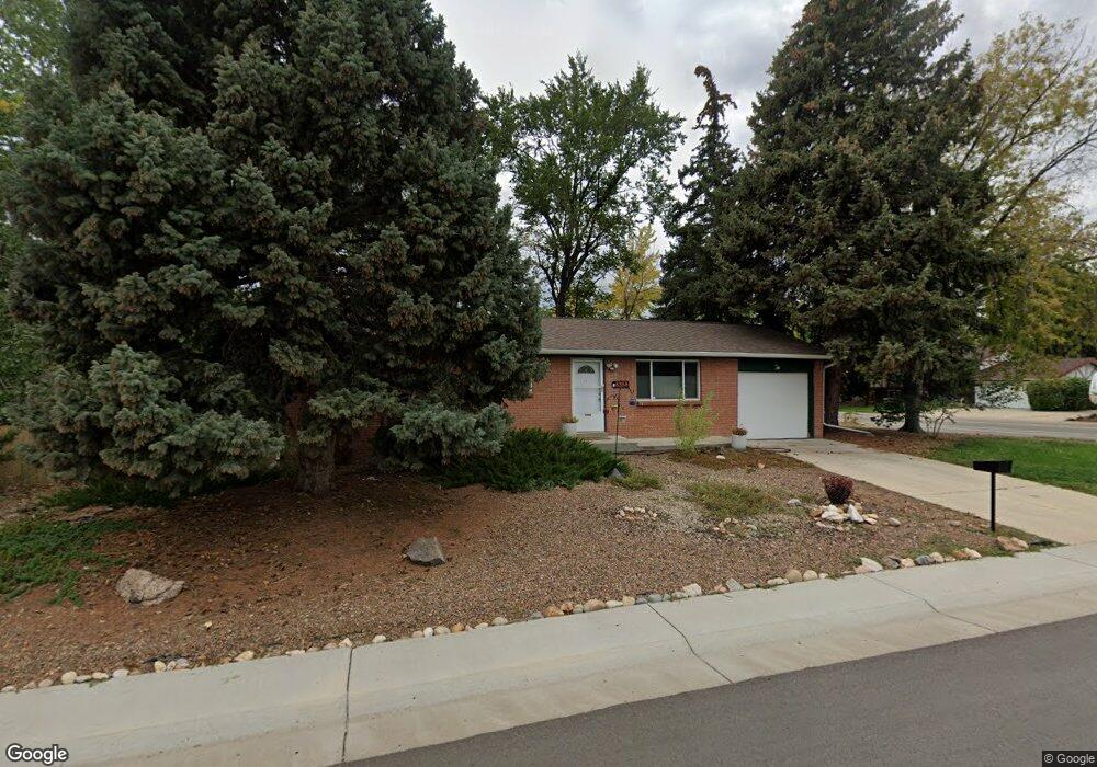
6358 W 65th Ave Arvada, CO 80003
Lamar Heights NeighborhoodEstimated Value: $464,492 - $512,000
3
Beds
1
Bath
984
Sq Ft
$497/Sq Ft
Est. Value
About This Home
This home is located at 6358 W 65th Ave, Arvada, CO 80003 and is currently estimated at $488,623, approximately $496 per square foot. 6358 W 65th Ave is a home located in Jefferson County with nearby schools including Swanson Elementary School, North Arvada Middle School, and Arvada High School.
Ownership History
Date
Name
Owned For
Owner Type
Purchase Details
Closed on
May 3, 2021
Sold by
Spotts Debbra J
Bought by
Cerny Elizabeth P and Stockhoff Paul
Current Estimated Value
Home Financials for this Owner
Home Financials are based on the most recent Mortgage that was taken out on this home.
Original Mortgage
$413,250
Outstanding Balance
$374,508
Interest Rate
3.1%
Mortgage Type
New Conventional
Estimated Equity
$114,115
Purchase Details
Closed on
Jul 27, 2005
Sold by
Pater Shirley
Bought by
Spotts Debbra J
Home Financials for this Owner
Home Financials are based on the most recent Mortgage that was taken out on this home.
Original Mortgage
$80,000
Interest Rate
5.61%
Mortgage Type
New Conventional
Create a Home Valuation Report for This Property
The Home Valuation Report is an in-depth analysis detailing your home's value as well as a comparison with similar homes in the area
Home Values in the Area
Average Home Value in this Area
Purchase History
| Date | Buyer | Sale Price | Title Company |
|---|---|---|---|
| Cerny Elizabeth P | $435,000 | Land Title Guarantee | |
| Spotts Debbra J | $179,889 | -- |
Source: Public Records
Mortgage History
| Date | Status | Borrower | Loan Amount |
|---|---|---|---|
| Open | Cerny Elizabeth P | $413,250 | |
| Previous Owner | Spotts Debbra J | $80,000 |
Source: Public Records
Tax History
| Year | Tax Paid | Tax Assessment Tax Assessment Total Assessment is a certain percentage of the fair market value that is determined by local assessors to be the total taxable value of land and additions on the property. | Land | Improvement |
|---|---|---|---|---|
| 2024 | $2,789 | $28,757 | $14,574 | $14,183 |
| 2023 | $2,789 | $28,757 | $14,574 | $14,183 |
| 2022 | $2,445 | $24,967 | $12,530 | $12,437 |
| 2021 | $2,486 | $25,686 | $12,891 | $12,795 |
| 2020 | $2,231 | $23,119 | $8,458 | $14,661 |
| 2019 | $2,201 | $23,119 | $8,458 | $14,661 |
| 2018 | $1,896 | $19,368 | $5,713 | $13,655 |
| 2017 | $1,736 | $19,368 | $5,713 | $13,655 |
| 2016 | $1,554 | $16,327 | $5,645 | $10,682 |
| 2015 | $1,303 | $16,327 | $5,645 | $10,682 |
| 2014 | $1,303 | $12,872 | $4,872 | $8,000 |
Source: Public Records
Map
Nearby Homes
- 6177 W 65th Ave
- 6537 Otis St
- 6462 Harlan St
- 6503 Gray St
- 6172 W 68th Ave
- 6788 Pierce Way
- 6646 Fenton St
- 6837 Pierce St
- 6610 Depew Ct
- 6650 Depew Ct
- 6779 Quay St
- 6807 Quay Ct
- 6277 Reed Ct
- 6522 Benton Cir
- 6983 W 68th Ave
- 5775 W 61st Place
- 6769 W 70th Ave
- 6885 W 69th Place
- 6404 Benton St
- 7194 W 68th Ave
- 6482 Lamar St
- 6493 Kendall St
- 6483 Kendall St
- 6572 Lamar St
- 6472 Lamar St
- 6367 W 65th Ave
- 6557 Lamar St
- 6473 Kendall St
- 6547 Lamar St
- 6337 W 65th Ave
- 6585 Lamar St
- 6462 Lamar St
- 6537 Lamar St
- 6463 Kendall St
- 6592 Lamar St
- 6494 Kendall St
- 6356 W 66th Ave
- 6287 W 65th Ave
- 6336 W 66th Ave
- 6560 Marshall St
Your Personal Tour Guide
Ask me questions while you tour the home.