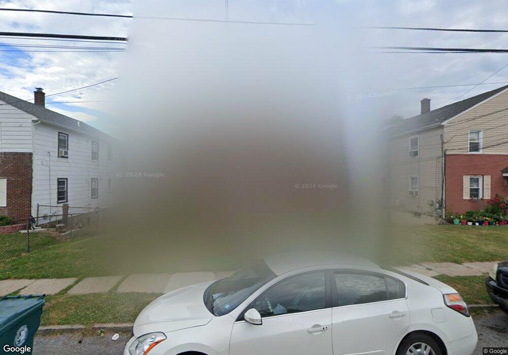
636 Colgate Ave Perth Amboy, NJ 08861
Chickentown NeighborhoodEstimated Value: $700,461 - $833,000
1
Bed
1
Bath
2,752
Sq Ft
$275/Sq Ft
Est. Value
About This Home
This home is located at 636 Colgate Ave, Perth Amboy, NJ 08861 and is currently estimated at $756,615, approximately $274 per square foot. 636 Colgate Ave is a home located in Middlesex County with nearby schools including Perth Amboy High School, Middlesex County STEM Charter School, and Academy for Urban Leadership Charter School.
Ownership History
Date
Name
Owned For
Owner Type
Purchase Details
Closed on
Nov 21, 2019
Sold by
Ferziger Benzion and Tress Shmuel
Bought by
Capric Alim and Capric Lula Selim
Current Estimated Value
Purchase Details
Closed on
Mar 22, 2018
Sold by
Lease June R and Lease Stanley E
Bought by
Zig Beozion Fer and Tress Shmuel
Home Financials for this Owner
Home Financials are based on the most recent Mortgage that was taken out on this home.
Original Mortgage
$325,000
Interest Rate
4.43%
Mortgage Type
Purchase Money Mortgage
Purchase Details
Closed on
May 16, 1995
Sold by
Estate Of Michael Covucci
Bought by
Lease Stanley
Home Financials for this Owner
Home Financials are based on the most recent Mortgage that was taken out on this home.
Original Mortgage
$100,000
Interest Rate
8.34%
Create a Home Valuation Report for This Property
The Home Valuation Report is an in-depth analysis detailing your home's value as well as a comparison with similar homes in the area
Home Values in the Area
Average Home Value in this Area
Purchase History
| Date | Buyer | Sale Price | Title Company |
|---|---|---|---|
| Capric Alim | $430,000 | None Available | |
| Zig Beozion Fer | $278,000 | Riverside Abstract Nj | |
| Lease Stanley | $159,900 | -- |
Source: Public Records
Mortgage History
| Date | Status | Borrower | Loan Amount |
|---|---|---|---|
| Previous Owner | Zig Beozion Fer | $325,000 | |
| Previous Owner | Lease Stanley | $100,000 |
Source: Public Records
Tax History Compared to Growth
Tax History
| Year | Tax Paid | Tax Assessment Tax Assessment Total Assessment is a certain percentage of the fair market value that is determined by local assessors to be the total taxable value of land and additions on the property. | Land | Improvement |
|---|---|---|---|---|
| 2025 | $12,958 | $429,500 | $124,600 | $304,900 |
| 2024 | $12,932 | $429,500 | $124,600 | $304,900 |
| 2023 | $12,932 | $429,500 | $124,600 | $304,900 |
| 2022 | $12,778 | $429,500 | $124,600 | $304,900 |
| 2021 | $12,795 | $429,500 | $124,600 | $304,900 |
| 2020 | $12,791 | $429,500 | $124,600 | $304,900 |
| 2019 | $13,146 | $439,800 | $124,600 | $315,200 |
| 2018 | $13,031 | $439,800 | $124,600 | $315,200 |
| 2017 | $13,005 | $439,800 | $124,600 | $315,200 |
| 2016 | $12,666 | $439,800 | $124,600 | $315,200 |
| 2015 | $12,754 | $439,800 | $124,600 | $315,200 |
| 2014 | $12,833 | $439,800 | $124,600 | $315,200 |
Source: Public Records
Map
Nearby Homes
- 639 Raritan Ave
- 638 Colgate Ave
- 635 Raritan Ave
- 632 Colgate Ave
- 645 Raritan Ave
- 642 Colgate Ave
- 647 Raritan Ave
- 631 Raritan Ave
- 643 Raritan Ave
- 628 Colgate Ave
- 648 Colgate Ave
- 627 Raritan Ave
- 643 Colgate Ave
- 651 Raritan Ave
- 639 Colgate Ave
- 624 Colgate Ave Unit 1B
- 622 Colgate Ave Unit 1B
- 647 Colgate Ave
- 625 Raritan Ave
- 635 Colgate Ave