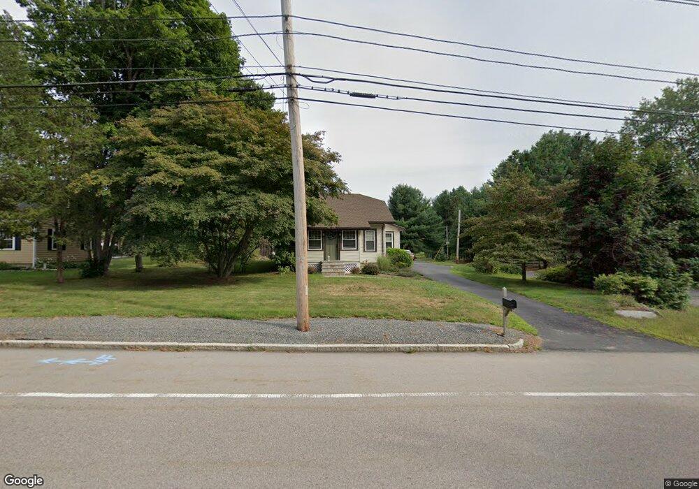
636 East St Wrentham, MA 02093
Estimated Value: $526,499 - $624,000
4
Beds
1
Bath
1,367
Sq Ft
$415/Sq Ft
Est. Value
About This Home
This home is located at 636 East St, Wrentham, MA 02093 and is currently estimated at $566,625, approximately $414 per square foot. 636 East St is a home located in Norfolk County with nearby schools including Delaney Elementary School, Charles E Roderick, and Foxborough Regional Charter School.
Ownership History
Date
Name
Owned For
Owner Type
Purchase Details
Closed on
Nov 15, 2001
Sold by
Lallier Glenn M
Bought by
Benoit Jacqueline L
Current Estimated Value
Home Financials for this Owner
Home Financials are based on the most recent Mortgage that was taken out on this home.
Original Mortgage
$152,500
Interest Rate
6.7%
Mortgage Type
Purchase Money Mortgage
Purchase Details
Closed on
Apr 4, 2001
Sold by
Wood Alfred B and Wood Dolores R
Bought by
Lallier Glenn M
Home Financials for this Owner
Home Financials are based on the most recent Mortgage that was taken out on this home.
Original Mortgage
$196,650
Interest Rate
7.05%
Mortgage Type
Purchase Money Mortgage
Create a Home Valuation Report for This Property
The Home Valuation Report is an in-depth analysis detailing your home's value as well as a comparison with similar homes in the area
Purchase History
| Date | Buyer | Sale Price | Title Company |
|---|---|---|---|
| Benoit Jacqueline L | $293,500 | -- | |
| Lallier Glenn M | $218,500 | -- |
Source: Public Records
Mortgage History
| Date | Status | Borrower | Loan Amount |
|---|---|---|---|
| Open | Lallier Glenn M | $150,000 | |
| Closed | Benoit Jacqueline L | $152,500 | |
| Previous Owner | Lallier Glenn M | $196,650 |
Source: Public Records
Tax History
| Year | Tax Paid | Tax Assessment Tax Assessment Total Assessment is a certain percentage of the fair market value that is determined by local assessors to be the total taxable value of land and additions on the property. | Land | Improvement |
|---|---|---|---|---|
| 2025 | $5,488 | $473,500 | $273,200 | $200,300 |
| 2024 | $4,416 | $368,000 | $273,200 | $94,800 |
| 2023 | $4,143 | $328,300 | $248,300 | $80,000 |
| 2022 | $3,921 | $286,800 | $223,400 | $63,400 |
| 2021 | $3,639 | $258,600 | $199,600 | $59,000 |
| 2020 | $3,809 | $267,300 | $182,100 | $85,200 |
| 2019 | $3,774 | $267,300 | $182,100 | $85,200 |
| 2018 | $4,759 | $334,200 | $182,300 | $151,900 |
| 2017 | $4,489 | $315,000 | $178,800 | $136,200 |
| 2016 | $4,413 | $309,000 | $173,600 | $135,400 |
| 2015 | $4,057 | $270,800 | $151,700 | $119,100 |
| 2014 | $3,991 | $260,700 | $145,900 | $114,800 |
Source: Public Records
Map
Nearby Homes
- 576 Dedham St
- 25 Foxboro Rd
- 1 Weber Farm Rd Unit 1
- 4 Weber Farm Rd Unit 4
- 6 Weber Farm Rd Unit 6
- 8 Weber Farm Rd Unit 8
- 11 Weber Farm Rd Unit 11
- 30 Weber Farm Rd Unit 30
- 131 Washington St Unit 50
- 282 Thurston St
- 9 Sharon Ave
- 15 Tilting Rock Rd
- 11 Sharon Ave
- 8 Conway Ln
- 10 Nature View Dr
- 15 Nature View Dr
- 7 Hill St Unit 12
- 7 Hill St Unit 16
- 12 Goodwin Dr
- 0 W Birch Rd
Your Personal Tour Guide
Ask me questions while you tour the home.