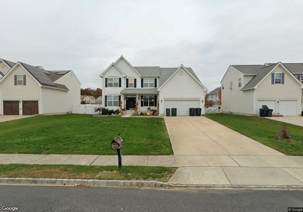
636 Ironwood Dr Williamstown, NJ 08094
Estimated Value: $522,000 - $571,000
--
Bed
--
Bath
2,616
Sq Ft
$210/Sq Ft
Est. Value
About This Home
This home is located at 636 Ironwood Dr, Williamstown, NJ 08094 and is currently estimated at $549,481, approximately $210 per square foot. 636 Ironwood Dr is a home located in Gloucester County with nearby schools including Williamstown High School, St. Mary School, and Finest of the Wheat Christian.
Ownership History
Date
Name
Owned For
Owner Type
Purchase Details
Closed on
Mar 28, 2005
Sold by
Zaki Mohammed A and Begum Haleemmunisa
Bought by
Dilks Raymond A and Dilks Bridget
Current Estimated Value
Home Financials for this Owner
Home Financials are based on the most recent Mortgage that was taken out on this home.
Original Mortgage
$260,000
Outstanding Balance
$133,473
Interest Rate
5.7%
Mortgage Type
Fannie Mae Freddie Mac
Estimated Equity
$416,008
Create a Home Valuation Report for This Property
The Home Valuation Report is an in-depth analysis detailing your home's value as well as a comparison with similar homes in the area
Home Values in the Area
Average Home Value in this Area
Purchase History
| Date | Buyer | Sale Price | Title Company |
|---|---|---|---|
| Dilks Raymond A | $325,000 | Independence Abs |
Source: Public Records
Mortgage History
| Date | Status | Borrower | Loan Amount |
|---|---|---|---|
| Open | Dilks Raymond A | $260,000 |
Source: Public Records
Tax History Compared to Growth
Tax History
| Year | Tax Paid | Tax Assessment Tax Assessment Total Assessment is a certain percentage of the fair market value that is determined by local assessors to be the total taxable value of land and additions on the property. | Land | Improvement |
|---|---|---|---|---|
| 2025 | $10,433 | $284,900 | $49,200 | $235,700 |
| 2024 | $10,356 | $284,900 | $49,200 | $235,700 |
| 2023 | $10,356 | $284,900 | $49,200 | $235,700 |
| 2022 | $10,308 | $284,900 | $49,200 | $235,700 |
| 2021 | $10,373 | $284,900 | $49,200 | $235,700 |
| 2020 | $10,362 | $284,900 | $49,200 | $235,700 |
| 2019 | $10,299 | $284,900 | $49,200 | $235,700 |
| 2018 | $10,131 | $284,900 | $49,200 | $235,700 |
| 2017 | $9,238 | $260,800 | $68,200 | $192,600 |
| 2016 | $9,120 | $260,800 | $68,200 | $192,600 |
| 2015 | $8,859 | $260,800 | $68,200 | $192,600 |
| 2014 | $8,601 | $260,800 | $68,200 | $192,600 |
Source: Public Records
Map
Nearby Homes
- 640 Ironwood Dr
- 549 Maidstone Dr
- 647 Chestnut St
- 943 Sykesville Rd
- 1017 Micawber Dr
- 30 Tool Ln
- 304 Thackeray Ln
- 1008 London Cir
- 934 N Beecham Rd
- 632 Clayton Rd
- 308 Oak St
- 1011 S Beecham Rd
- 221 Oak St
- 112 Shisler Ave
- 520 S Main St
- 18 Bodine Ave
- 959 S Main St
- 354 S Main St
- 206 Raphael Ct
- 415 Stockton Loop
- 632 Ironwood Dr
- 713 Meade Ct
- 644 Ironwood Dr
- 628 Ironwood Dr
- 717 Meade Ct
- 709 Meade Ct
- 637 Ironwood Dr
- 648 Ironwood Dr
- 633 Ironwood Dr
- 624 Ironwood Dr
- 641 Ironwood Dr
- 720 Meade Ct
- 645 Ironwood Dr
- 705 Meade Ct
- 629 Ironwood Dr
- 652 Ironwood Dr
- 620 Ironwood Dr
- 548 Maidstone Dr
- 552 Maidstone Dr
- 716 Meade Ct