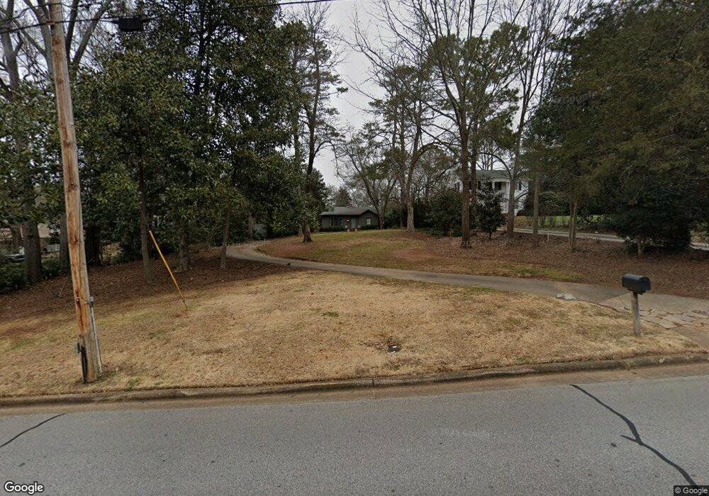
636 Milledge Cir Athens, GA 30606
Five Points NeighborhoodEstimated Value: $686,980 - $751,000
2
Beds
2
Baths
1,425
Sq Ft
$506/Sq Ft
Est. Value
About This Home
This home is located at 636 Milledge Cir, Athens, GA 30606 and is currently estimated at $721,495, approximately $506 per square foot. 636 Milledge Cir is a home located in Clarke County with nearby schools including Barrow Elementary School, Clarke Middle School, and Clarke Central High School.
Ownership History
Date
Name
Owned For
Owner Type
Purchase Details
Closed on
Jul 26, 2016
Sold by
Bob A
Bought by
Holland Mary Prillaman
Current Estimated Value
Purchase Details
Closed on
Jan 5, 2011
Sold by
Fickett John T
Bought by
Prillaman Mary
Home Financials for this Owner
Home Financials are based on the most recent Mortgage that was taken out on this home.
Original Mortgage
$192,000
Interest Rate
4.58%
Mortgage Type
Future Advance Clause Open End Mortgage
Purchase Details
Closed on
Apr 15, 1996
Sold by
Fickett Anna Newton
Bought by
Fickett John T
Create a Home Valuation Report for This Property
The Home Valuation Report is an in-depth analysis detailing your home's value as well as a comparison with similar homes in the area
Home Values in the Area
Average Home Value in this Area
Purchase History
| Date | Buyer | Sale Price | Title Company |
|---|---|---|---|
| Holland Mary Prillaman | $500,000 | -- | |
| Prillaman Mary | $240,000 | -- | |
| Fickett John T | -- | -- |
Source: Public Records
Mortgage History
| Date | Status | Borrower | Loan Amount |
|---|---|---|---|
| Previous Owner | Prillaman Mary | $192,000 |
Source: Public Records
Tax History Compared to Growth
Tax History
| Year | Tax Paid | Tax Assessment Tax Assessment Total Assessment is a certain percentage of the fair market value that is determined by local assessors to be the total taxable value of land and additions on the property. | Land | Improvement |
|---|---|---|---|---|
| 2025 | $8,907 | $286,848 | $112,000 | $174,848 |
| 2024 | $8,907 | $216,180 | $112,000 | $104,180 |
| 2023 | $6,756 | $216,180 | $112,000 | $104,180 |
| 2022 | $6,896 | $216,180 | $112,000 | $104,180 |
| 2021 | $5,425 | $160,982 | $112,000 | $48,982 |
| 2020 | $5,003 | $148,452 | $112,000 | $36,452 |
| 2019 | $4,992 | $147,028 | $112,000 | $35,028 |
| 2018 | $4,992 | $147,028 | $112,000 | $35,028 |
| 2017 | $4,125 | $121,498 | $112,000 | $9,498 |
| 2016 | $4,110 | $121,072 | $112,000 | $9,072 |
| 2015 | $3,702 | $108,879 | $100,000 | $8,879 |
| 2014 | $3,347 | $98,300 | $90,000 | $8,300 |
Source: Public Records
Map
Nearby Homes
- 590 Highland Ave
- 490 Mcwhorter Dr
- 589 W Lake Dr
- 104 W Lake Ct
- 175 Tillman Ln
- 495 Woodlawn Ave
- 169 Fortson Cir
- 164 Plum Nelly Rd
- 275 Westview Dr
- 577 W Cloverhurst Ave
- 224 Fortson Dr
- 206 Fortson Dr
- 2019 S Lumpkin St
- 1055 Baxter St Unit 504
- 997 S Milledge Ave Unit 2
- 997 S Milledge Ave Unit 3
- 997 S Milledge Ave Unit 1
- 997 S Milledge Ave Unit 4
- 338 Springdale St
- 265 Springdale St
- 630 Milledge Cir
- 634 Milledge Cir
- 638 Milledge Cir
- 199 Rock Glen Rd
- 197 Rock Glenn Rd
- 197 Rock Glen Rd
- 644 Milledge Cir
- 198 Rock Glen Rd
- 198 Rock Glenn Rd
- 0 Milledge Cir Unit CM916632
- 0 Milledge Cir Unit 8860359
- 0 Milledge Cir Unit 8595160
- 0 Milledge Cir Unit 8418309
- 0 Milledge Cir Unit 8345120
- 0 Milledge Cir Unit 8196635
- 0 Milledge Cir Unit 8122302
- 0 Milledge Cir Unit 7573622
- 0 Milledge Cir Unit 8399517
- 0 Milledge Cir Unit 7293558
- 0 Milledge Cir Unit 7108445