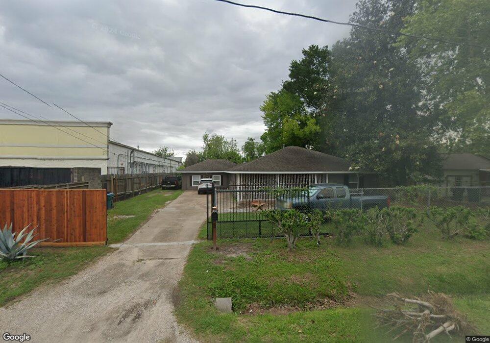
636 Millville Dr Houston, TX 77091
Northside-Northline NeighborhoodEstimated Value: $192,000 - $323,000
3
Beds
2
Baths
1,359
Sq Ft
$203/Sq Ft
Est. Value
About This Home
This home is located at 636 Millville Dr, Houston, TX 77091 and is currently estimated at $276,114, approximately $203 per square foot. 636 Millville Dr is a home located in Harris County with nearby schools including Wesley Elementary School, Williams Middle, and Booker T Washington Sr High.
Ownership History
Date
Name
Owned For
Owner Type
Purchase Details
Closed on
Oct 27, 2011
Sold by
Fannie Mae
Bought by
Betancourt Arturo and Betancourt Sonya J
Current Estimated Value
Purchase Details
Closed on
Jun 7, 2011
Sold by
Delgado Arnulfo and Delgado Gloria
Bought by
Federal National Mortgage Association
Purchase Details
Closed on
Apr 16, 2007
Sold by
Langford L B and Langford Mattie
Bought by
Delgado Arnulfo
Home Financials for this Owner
Home Financials are based on the most recent Mortgage that was taken out on this home.
Original Mortgage
$94,500
Interest Rate
6.15%
Mortgage Type
Purchase Money Mortgage
Purchase Details
Closed on
Dec 5, 1995
Sold by
Holmes Elgia and Holmes Hester Mae
Bought by
Langford L B and Langford Mattie
Create a Home Valuation Report for This Property
The Home Valuation Report is an in-depth analysis detailing your home's value as well as a comparison with similar homes in the area
Home Values in the Area
Average Home Value in this Area
Purchase History
| Date | Buyer | Sale Price | Title Company |
|---|---|---|---|
| Betancourt Arturo | -- | Texas American Title Company | |
| Federal National Mortgage Association | $99,207 | None Available | |
| Delgado Arnulfo | -- | Alamo Title Company | |
| Langford L B | $26,000 | -- |
Source: Public Records
Mortgage History
| Date | Status | Borrower | Loan Amount |
|---|---|---|---|
| Previous Owner | Delgado Arnulfo | $94,500 |
Source: Public Records
Tax History Compared to Growth
Tax History
| Year | Tax Paid | Tax Assessment Tax Assessment Total Assessment is a certain percentage of the fair market value that is determined by local assessors to be the total taxable value of land and additions on the property. | Land | Improvement |
|---|---|---|---|---|
| 2025 | $1,741 | $273,735 | $190,660 | $83,075 |
| 2024 | $1,741 | $273,735 | $190,660 | $83,075 |
| 2023 | $1,741 | $273,735 | $190,660 | $83,075 |
| 2022 | $2,832 | $214,214 | $148,808 | $65,406 |
| 2021 | $2,725 | $176,120 | $93,005 | $83,115 |
| 2020 | $2,574 | $130,260 | $48,363 | $81,897 |
| 2019 | $2,445 | $102,240 | $18,601 | $83,639 |
| 2018 | $1,486 | $87,856 | $18,601 | $69,255 |
| 2017 | $2,221 | $87,856 | $18,601 | $69,255 |
| 2016 | $2,221 | $87,856 | $18,601 | $69,255 |
| 2015 | $1,826 | $97,021 | $12,901 | $84,120 |
| 2014 | $1,826 | $97,021 | $12,901 | $84,120 |
Source: Public Records
Map
Nearby Homes
- 824 W Rittenhouse St
- 715 W Rittenhouse Rd
- 859 W Rittenhouse St
- 740 Millville Dr
- 748 Millville Dr
- 747 W Rittenhouse Rd
- 5736 Stuebner Airline Rd
- 1031 S Victory Dr
- 1033 S Victory Dr
- 847 S Victory Dr
- 775 Rittenhouse St
- 7014 De Priest St
- 786 Lucky St
- 788 Lucky St
- 6315 N Shepherd Dr
- 741 Granville Dr
- 6220 De Priest St
- 862 Granville Dr
- 814 Granville Dr
- 855 W Little York Rd
- 632 Millville Dr
- 630 Millville Dr
- 626 Millville Dr
- 637 Millville Dr
- 633 Millville Dr
- 629 Millville Dr
- 620 Millville Dr
- 7118 N Shepherd Dr
- 625 Millville Dr
- 7106 N Shepherd Dr
- 650 W Rittenhouse Rd
- 614 Millville Dr
- 621 Millville Dr
- 617 Millville Dr
- 644 W Rittenhouse Rd
- 636 W Rittenhouse Rd
- 7124 N Shepherd Dr
- 7127 N Shepherd Dr
- 7201 Stuebner Airline Rd
- 7106-7124 N Shepherd Dr