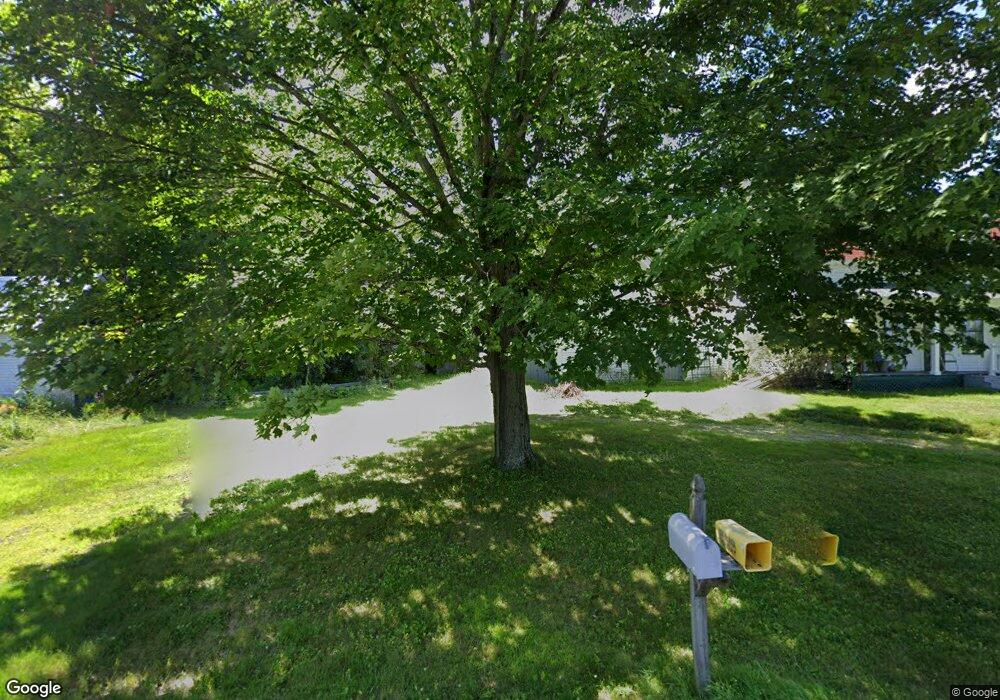
636 N River Rd Auburn, ME 04210
Estimated Value: $296,006 - $377,000
5
Beds
3
Baths
2,389
Sq Ft
$137/Sq Ft
Est. Value
About This Home
This home is located at 636 N River Rd, Auburn, ME 04210 and is currently estimated at $326,252, approximately $136 per square foot. 636 N River Rd is a home located in Androscoggin County with nearby schools including East Auburn Community School, Auburn Middle School, and Edward Little High School.
Ownership History
Date
Name
Owned For
Owner Type
Purchase Details
Closed on
Oct 11, 2016
Sold by
Sargent David A and Sargent Judith M
Bought by
Sargent Children Ft
Current Estimated Value
Purchase Details
Closed on
Sep 15, 2011
Sold by
Sargent David A
Bought by
Sargent David A and Sargent Judith M
Purchase Details
Closed on
May 10, 2006
Sold by
Sargent Walter F Est
Bought by
Sargent David A and Sargent James B
Create a Home Valuation Report for This Property
The Home Valuation Report is an in-depth analysis detailing your home's value as well as a comparison with similar homes in the area
Home Values in the Area
Average Home Value in this Area
Purchase History
| Date | Buyer | Sale Price | Title Company |
|---|---|---|---|
| Sargent Children Ft | -- | -- | |
| Sargent David A | -- | -- | |
| Sargent David A | -- | -- |
Source: Public Records
Tax History Compared to Growth
Tax History
| Year | Tax Paid | Tax Assessment Tax Assessment Total Assessment is a certain percentage of the fair market value that is determined by local assessors to be the total taxable value of land and additions on the property. | Land | Improvement |
|---|---|---|---|---|
| 2024 | $3,800 | $170,800 | $63,100 | $107,700 |
| 2023 | $3,485 | $153,200 | $56,000 | $97,200 |
| 2022 | $2,958 | $130,000 | $46,700 | $83,300 |
| 2021 | $3,097 | $130,000 | $46,700 | $83,300 |
| 2020 | $3,038 | $127,900 | $46,700 | $81,200 |
| 2019 | $3,038 | $127,900 | $46,700 | $81,200 |
| 2018 | $3,029 | $127,900 | $46,700 | $81,200 |
| 2017 | $2,940 | $127,900 | $46,700 | $81,200 |
| 2016 | $2,859 | $127,900 | $46,700 | $81,200 |
Source: Public Records
Map
Nearby Homes